Westmoreland in Macon County, Tennessee — The American South (East South Central)
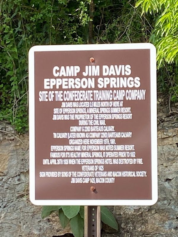
Camp Jim Davis Epperson Springs
Site of the Confederate Training Camp Company
site of Epperson Springs, a mineral springs summer resort.
Jim Davis was the proprietor of the Epperson Springs Resort
during the Civil War.
Company G 22nd Barteaus Cavalry,
TN Cavalry (later known as Company 22nd) Barteaus Calvary
organized here November 15th, 1861.
Epperson Springs name for Epperson was noted summer resort.
Famous for its healthy mineral springs, it operated prior to 1852
until April 26th 1926 when the Epperson Springs Hotel was destroyed by fire.
Erected by Veterans of 1425, Sons of the Confederate Veterans, Macon County Historical Society and Jim Davis Camp 1425, Macon County.
Topics. This historical marker is listed in these topic lists: Industry & Commerce • War, US Civil. A significant historical date for this entry is November 15, 1861.
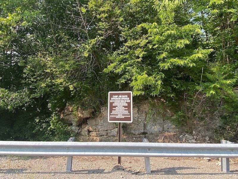
Location. 36° 32.703′ N, 86° 12.942′ W. Marker is in Westmoreland, Tennessee, in Macon County. Marker is on Hwy 52 W, 0.1 miles east of Howell Road, on the right when traveling west. Touch for map. Marker is in this post office area: Westmoreland TN 37186, United States of America. Touch for directions.
Other nearby markers. At least 8 other markers are within 9 miles of this marker, measured as the crow flies. William Owen Bradley (approx. 1.3 miles away); Site of Epperson Springs (approx. 2.1 miles away); Site of Civil War Confederate Training Camp Jim Davis (approx. 2.1 miles away); Jonathan Browning (approx. 6.6 miles away); Sumner County / Trousdale County (approx. 7 miles away); Durham's Chapel Rosenwald School (approx. 8.2 miles away); A Family Tragedy (approx. 8.4 miles away); The Home of William Dunn (approx. 8.4 miles away). Touch for a list and map of all markers in Westmoreland.
Credits. This page was last revised on May 30, 2023. It was originally submitted on May 30, 2023, by Darren Jefferson Clay of Duluth, Georgia. This page has been viewed 95 times since then and 34 times this year. Photos: 1, 2. submitted on May 30, 2023, by Darren Jefferson Clay of Duluth, Georgia. • James Hulse was the editor who published this page.

