Marietta in Cobb County, Georgia — The American South (South Atlantic)
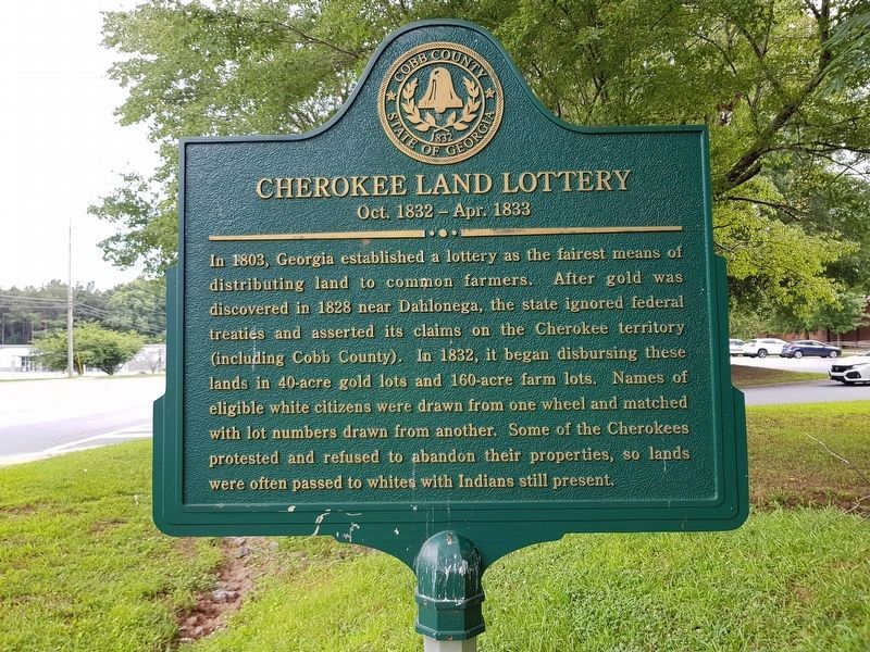
Cherokee Land Lottery
Oct. 1832 - Apr. 1833
Erected 2008 by Cobb County.
Topics. This historical marker is listed in these topic lists: Native Americans • Settlements & Settlers. A significant historical year for this entry is 1803.
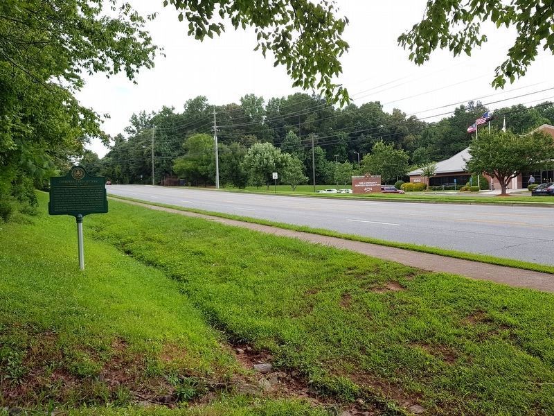
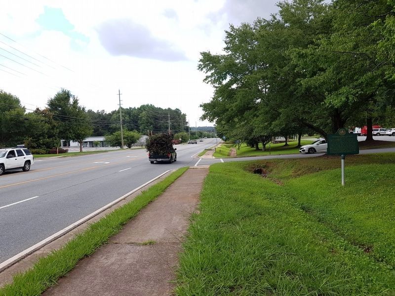
Location. 33° 54.917′ N, 84° 34.933′ W. Marker is in Marietta, Georgia, in Cobb County. Marker is on County Services Parkway, 0.2 miles south of Powder Springs Road (Georgia Route 360), on the right when traveling south. The marker is opposite 1595 County Services Parkway, south of Powder Springs Road. Touch for map. Marker is in this post office area: Marietta GA 30008, United States of America. Touch for directions.
Other nearby markers. At least 8 other markers are within 2 miles of this marker, measured as the crow flies. Powder Springs Road (approx. 0.2 miles away); Nesbitt-Union Chapel Ruins (approx. 0.4 miles away); Historic Dickson House (approx. half a mile away); Battle of Kolb's Farm (approx. 0.9 miles away); Battle of Kolb's Farm - June 22, 1864 (approx. 0.9 miles away); a different marker also named Battle of Kolb's Farm (approx. 0.9 miles away); Kolb House (approx. 0.9 miles away); a different marker also named Battle of Kolb’s Farm (approx. 1.2 miles away). Touch for a list and map of all markers in Marietta.
Credits. This page was last revised on May 30, 2023. It was originally submitted on July 14, 2008, by David Seibert of Sandy Springs, Georgia. This page has been viewed 2,443 times since then and 41 times this year. Last updated on May 30, 2023, by Amanda Zimmer of Atlanta, Georgia. Photos: 1. submitted on July 5, 2018, by J. Makali Bruton of Accra, Ghana. 2. submitted on July 14, 2008, by David Seibert of Sandy Springs, Georgia. 3, 4. submitted on July 5, 2018, by J. Makali Bruton of Accra, Ghana. • J. Makali Bruton was the editor who published this page.


