Johnson in Washington County, Arkansas — The American South (West South Central)
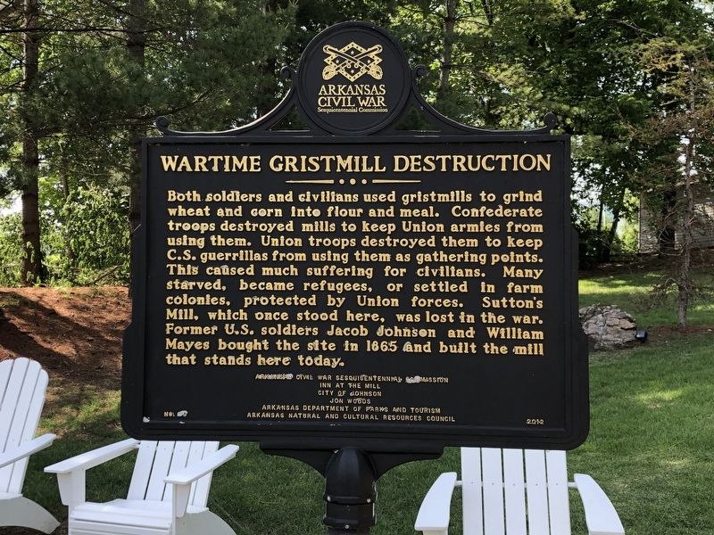
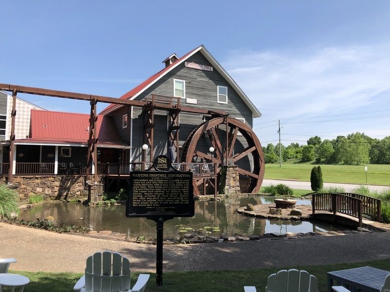
Wartime Gristmill Destruction
Erected 2012 by Arkansas Civil War Sesquicentennial Commission • Inn at the Mill • City of Johnson • Jon Woods • Arkansas Department of Parks and Tourism • Arkansas Natural and Cultural Resources Council. (Marker Number 33.)
Topics and series. This historical marker is listed in these topic lists: Industry & Commerce • War, US Civil. In addition, it is included in the Arkansas Civil War Sesquicentennial Commission series list. A significant historical year for this entry is 1865.
Location. 36° 8.244′ N, 94° 10.755′ W. Marker is in Johnson, Arkansas, in Washington County. Marker is at the intersection of Johnson Mill Boulevard and South 48th Street (County Road 700), on the right when traveling west on Johnson Mill Boulevard. Touch for map. Marker is at or near this postal address: 3906 Johnson Mill Blvd, Springdale AR 72762, United States of America. Touch for directions.
Other nearby markers. At least 8 other markers are within 5 miles of this marker, measured as the crow flies. Replica of the Statue of Liberty (approx. 2.2 miles away); Mount Comfort in the Civil War (approx. 3.6 miles away); Far West Seminary (approx. 3.7 miles away); Old Mt. Comfort (approx. 3.7 miles away); Purple Heart Memorial (approx. 4.1 miles away); Holcomb's Spring in the Civil War (approx. 4.3 miles away); Shiloh Memorial Park (approx. 4.4 miles away); Beely-Johnson American Legion Post 139 (approx. 4.4 miles away).
Credits. This page was last revised on May 31, 2023. It was originally submitted on May 31, 2023, by Duane and Tracy Marsteller of Murfreesboro, Tennessee. This page has been viewed 65 times since then and 20 times this year. Photos: 1, 2. submitted on May 31, 2023, by Duane and Tracy Marsteller of Murfreesboro, Tennessee.

