Lowell in Benton County, Arkansas — The American South (West South Central)
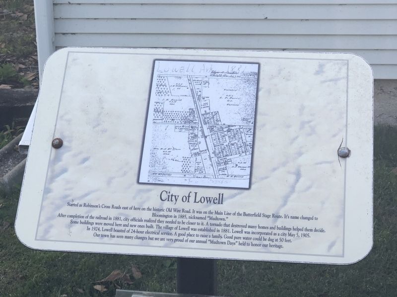
City of Lowell
After completion of the railroad in 1881, city officials realized they needed to be closer to it. A tornado that destroyed many homes and buildings helped them decide.
Some buildings were moved here and new ones built. The village of Lowell was established in 1881. Lowell was incorporated as a city May 5, 1905.
In 1924, Lowell boasted of 24-hour electrical service. A good place to raise a family. Good pure water could be dug at 50 feet.
Our town has seen many changes but we are very proud of our annual “Mudtown Days” held to honor our heritage.
Topics. This historical marker is listed in this topic list: Settlements & Settlers. A significant historical date for this entry is May 5, 1905.
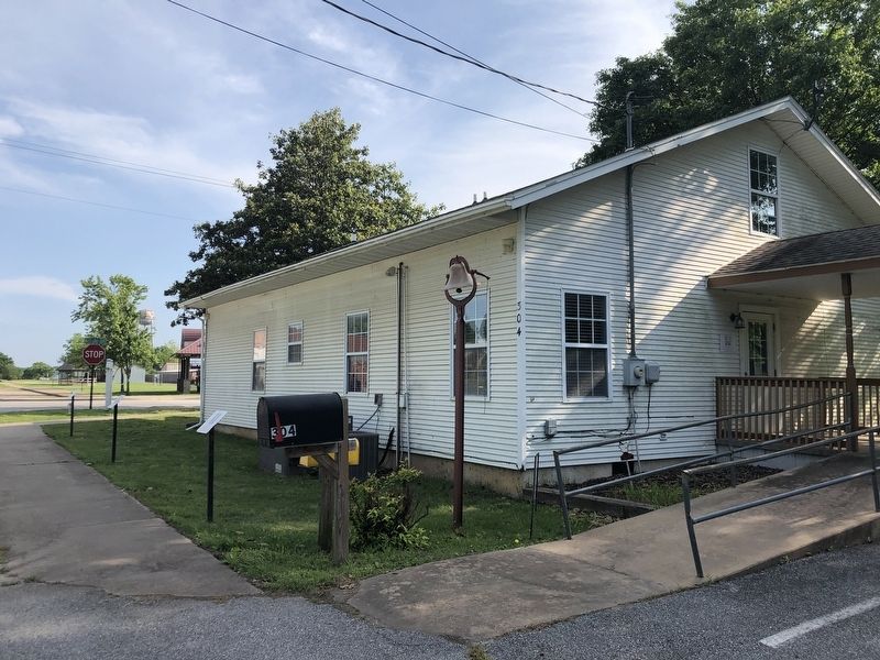
Location. 36° 15.467′ N, 94° 7.904′ W. Marker is in Lowell, Arkansas, in Benton County. Marker is at the intersection of Jackson Place and McClure Avenue (County Road 923), on the left when traveling north on Jackson Place. Marker is at the Lowell Historical Museum. Touch for map. Marker is at or near this postal address: 304 Jackson Pl, Lowell AR 72745, United States of America. Touch for directions.
Other nearby markers. At least 8 other markers are within walking distance of this marker. Service Station and Garage (here, next to this marker); The Lowell Historical Museum (a few steps from this marker); Original Site of Bloomington (Mudtown) Arkansas (a few steps from this marker); The Butterfield Stagecoach Road (a few steps from this marker); Evaporator Near School (within shouting distance of this marker); Old School on South Lincoln Street (within shouting distance of this marker); Mudtown (within shouting distance of this marker); School House on McClure Street (within shouting distance of this marker). Touch for a list and map of all markers in Lowell.
Also see . . . Lowell (Benton County). The road was well traveled and worn with deep ruts, and it became treacherous after rain. Thus, Bloomington became commonly known as “Mudtown” after a rider for the Butterfield Overland Mail Company reportedly got his stagecoach trapped in deep mud there. (Encyclopedia of Arkansas) (Submitted on May 31, 2023, by Duane and Tracy Marsteller of Murfreesboro, Tennessee.)
Credits. This page was last revised on May 31, 2023. It was originally submitted on May 31, 2023, by Duane and Tracy Marsteller of Murfreesboro, Tennessee. This page has been viewed 76 times since then and 22 times this year. Photos: 1, 2. submitted on May 31, 2023, by Duane and Tracy Marsteller of Murfreesboro, Tennessee.

