Lowell in Benton County, Arkansas — The American South (West South Central)
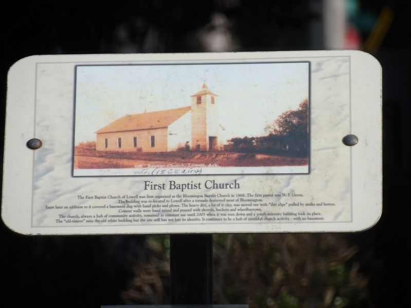
First Baptist Church
Photographed by Duane and Tracy Marsteller, May 20, 2023
1. First Baptist Church Marker
The building was re-located to Lowell after a tornado destroyed most of Bloomington.
Years later an addition to it covered a basement dug with hand picks and plows. The heavy dirt, a lot of it clay, was moved out with “dirt slips” pulled by mules and horses. Cement walls were hand mixed and poured with shovels, buckets and wheelbarrows.
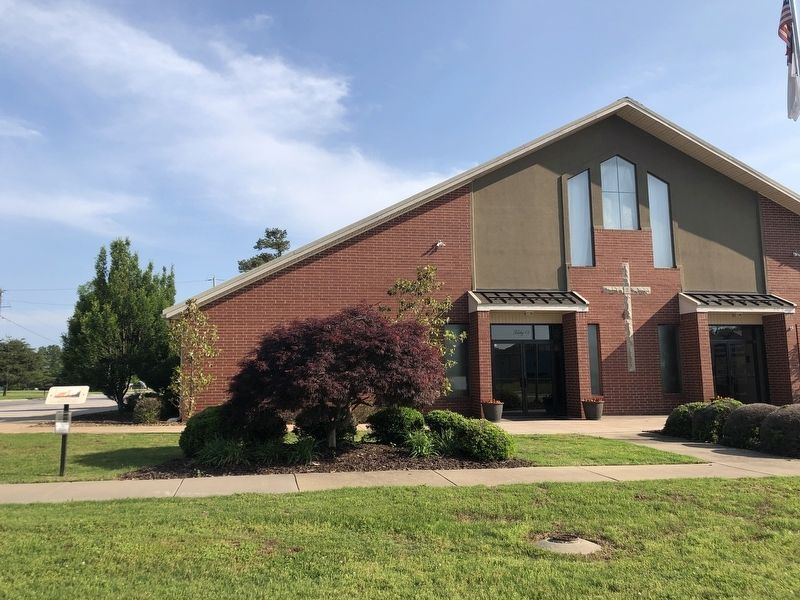
The church, always a hub of community activity, remained in constant use until 2005 when it was torn down and a youth ministry building took its place. The “old-timers” miss the old white building but the site still has not lost its identity. It continues to be a hub of youthful church activity – with no basement.
Topics. This historical marker is listed in this topic list: Religion & Religious Structures. A significant historical year for this entry is 1868.
Location. 36° 15.446′ N, 94° 7.746′ W. Marker is in Lowell, Arkansas, in Benton County. It is at the intersection of McClure Avenue (County Road 923) and Johnson Avenue, on the right when traveling east
this page online

Regionally, this marker is in Northwest Arkansas, on the Ozark Plateau, in the Cherokee Heritage Region, and in Osage Territory. It is also in the American South, specifically in the Upper South, and in the Ozarks. Globally, it is in North America, the Western Hemisphere, the Western World, and the Anglosphere. Historically, it finds itself in what was once the territory of the Mississippian Culture, the Louisiana Purchase, one of the Confederate States of America, and the Antebellum South.
Other nearby markers. At least 8 other markers are within walking distance of this marker: First Free Will Baptist Church (about 500 feet away, measured in a direct line); Lowell Postal Service (about 700 feet away); IOOF/Masonic Lodge Building (about 700 feet away); The Bank of Lowell (about 700 feet away); L. P. Davis House and Grounds (about 700 feet away); Train Depot (about 700 feet away); Old City Jail (about 700 feet away); School House on McClure Street (about 800
Photographed by Duane and Tracy Marsteller, May 20, 2023
2. First Baptist Church Marker
Credits. This page was last revised on May 31, 2023. It was originally submitted on May 31, 2023, by Duane and Tracy Marsteller of Murfreesboro, Tennessee. This page has been viewed 203 times since then and 20 times this year. Photos: 1, 2. submitted on May 31, 2023, by Duane and Tracy Marsteller of Murfreesboro, Tennessee.
