SODO in Seattle in King County, Washington — The American West (Northwest)
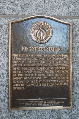
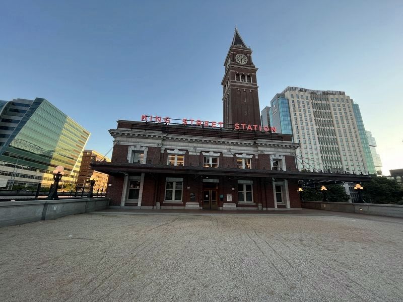
King Street Station
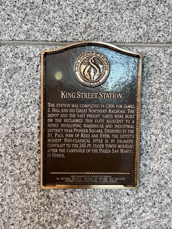
— 1989 Washington State Centennial —
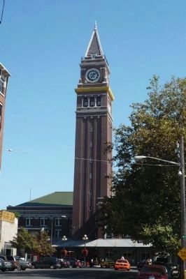
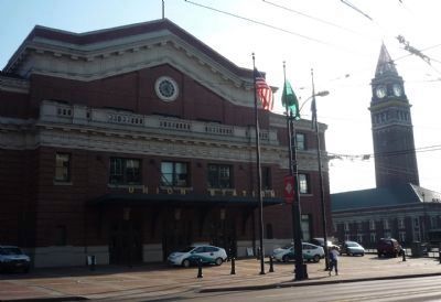
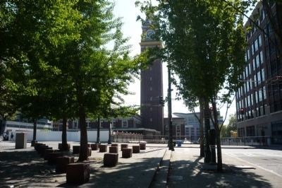
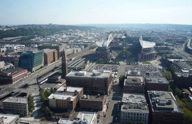
The station was completed in 1906 for James J. Hill and his Great Northern Railroad. The depot and the vast freight yards were built on the reclaimed tide flats adjacent to a newly developing warehouse and industrial district near Pioneer Square. Designed by the St. Paul firm of Reed and Stem, the depot’s modest Neo-classical style is in dramatic contrast to the 245 ft. clock tower modeled after the campanile of the Piazza San Marco in Venice.
[Seal of the City of Seattle, 1869]
Erected 1989 by Historic Seattle, Museum of History and Industry, Pioneer Square Businesses, and King County.
Topics. This historical marker is listed in these topic lists: Industry & Commerce • Notable Buildings • Railroads & Streetcars. A significant historical year for this entry is 1906.
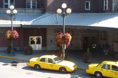
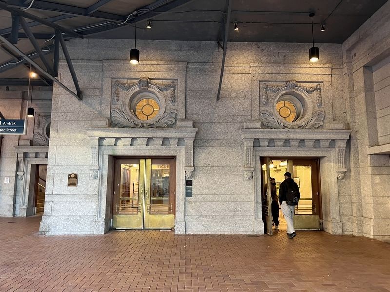
Location. 47° 35.916′ N, 122° 19.805′ W. Marker is in Seattle, Washington, in King County. It is in SODO. Marker can be reached from South King Street east of 2nd Avenue, South. Marker is on the wall near the west side entrance to the depot, at the end of King Street. It is accessible to pedestrians at the bottom of stairs from the intersection of S. Jackson Street and 3rd Avenue, S, at the northwest end of the depot. Touch for map. Marker is at or near this postal address: 303 South Jackson Street, Seattle WA 98104, United States of America. Touch for directions.
Other nearby markers. At least 8 other markers are within walking distance of this marker. Union Station (about 400 feet away, measured in a direct line); The Goldsmith Building (about 400 feet away); How Big Was Japantown? (about 600 feet away); Great Northern Tunnel (about 600 feet away); Seattle Chinatown Gate (about 700 feet away); How Did Water Become Land? (about 700 feet away); UPS - Celebrating 100 years of Service (about 700 feet away); Birthplace of United Parcel Service (about 700 feet away). Touch for a list and map of all markers in Seattle.
Also see . . .
1. King Street Station. (Submitted on September 16, 2009, by Richard E. Miller of Oxon Hill, Maryland.)
2. William R. King. original namesake for King Street and King County, WA. (Submitted on September 16, 2009, by Richard E. Miller of Oxon Hill, Maryland.)
Additional keywords. Northern Pacific R.R.; Amtrak; Union Station, Seattle.
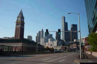
Photographed By Richard E. Miller, September 13, 2009
5. King Street Station - at left, viewed from across 4th Ave. at Weller St.
With the downtown Seattle skyline in background. Note the white, Smith Tower building (center, left, in the Pioneer Square district), dwarfed by the newer skyscrapers beyond.
Credits. This page was last revised on November 2, 2023. It was originally submitted on September 16, 2009, by Richard E. Miller of Oxon Hill, Maryland. This page has been viewed 1,311 times since then and 11 times this year. Photos: 1, 2, 3, 4, 5, 6. submitted on September 16, 2009, by Richard E. Miller of Oxon Hill, Maryland. 7, 8. submitted on October 26, 2023, by Adam Margolis of Mission Viejo, California. 9. submitted on September 16, 2009, by Richard E. Miller of Oxon Hill, Maryland. 10. submitted on October 26, 2023, by Adam Margolis of Mission Viejo, California. • Syd Whittle was the editor who published this page.
