Bentonville in Benton County, Arkansas — The American South (West South Central)
Benton County, Arkansas
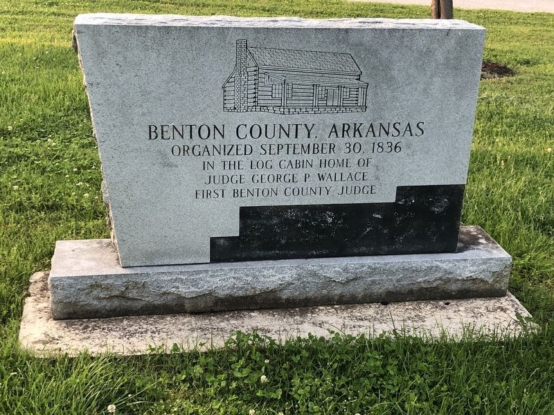
Photographed by Duane and Tracy Marsteller, May 20, 2023
1. Benton County, Arkansas Marker
in the log cabin home of
Judge George P. Wallace
first Benton County Judge
Erected by Benton County Historical Society.
Topics. This historical marker is listed in this topic list: Political Subdivisions. A significant historical date for this entry is September 30, 1836.
Location. 36° 22.611′ N, 94° 11.186′ W. Marker is in Bentonville, Arkansas, in Benton County. It is on Northeast John Deshields Boulevard 0.1 miles east of Northeast Martin Luther King, Jr. Parkway, on the right when traveling east. Touch for map. Marker is at or near this postal address: 1100 NE John Deshields Blvd, Bentonville AR 72712, United States of America. Touch for directions.

Regionally, this marker is in Northwest Arkansas, on the Ozark Plateau, in the Cherokee Heritage Region, and in Osage Territory. It is also in the American South, specifically in the Upper South, and in the Ozarks. Globally, it is in North America, the Western Hemisphere, the Western World, and the Anglosphere. Historically, it finds itself in what was once the territory of the Mississippian Culture, the Louisiana Purchase, one of the
this page online
Other nearby markers. At least 8 other markers are within 2 miles of this marker, measured as the crow flies: The Ivy House (approx. half a mile away); Colonel Young House (approx. 0.9 miles away); Frank Lloyd Wright / Architectural Value (approx. one mile away); Democratic Architecture / Usonian Characteristics (approx. one mile away); Integrating With Nature / The Journey (approx. one mile away); The Henry House (approx. 1.2 miles away); Elliot-McGinly Home (approx. 1.2 miles away); Benton County Poor Farm Cemetery (approx. 1.2 miles away). Touch for a list and map of all markers in Bentonville.
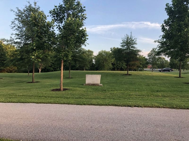
Photographed by Duane and Tracy Marsteller, May 20, 2023
2. Benton County, Arkansas Marker
As viewed from the street. The marker faces the opposite way.
Credits. This page was last revised on June 2, 2023. It was originally submitted on June 2, 2023, by Duane and Tracy Marsteller of Murfreesboro, Tennessee. This page has been viewed 252 times since then and 26 times this year. Photos: 1, 2. submitted on June 2, 2023, by Duane and Tracy Marsteller of Murfreesboro, Tennessee.
