Solon in Cuyahoga County, Ohio — The American Midwest (Great Lakes)
Solon Town Center
Disciples of Christ Church 1845-1951
Photographed by Parker Kuivila, May 17, 2017
1. Solon Town Center Marker
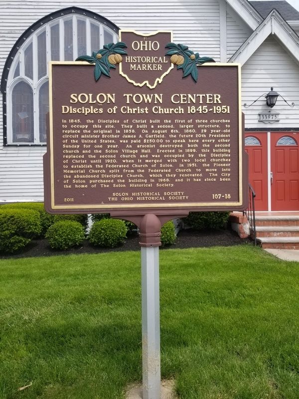
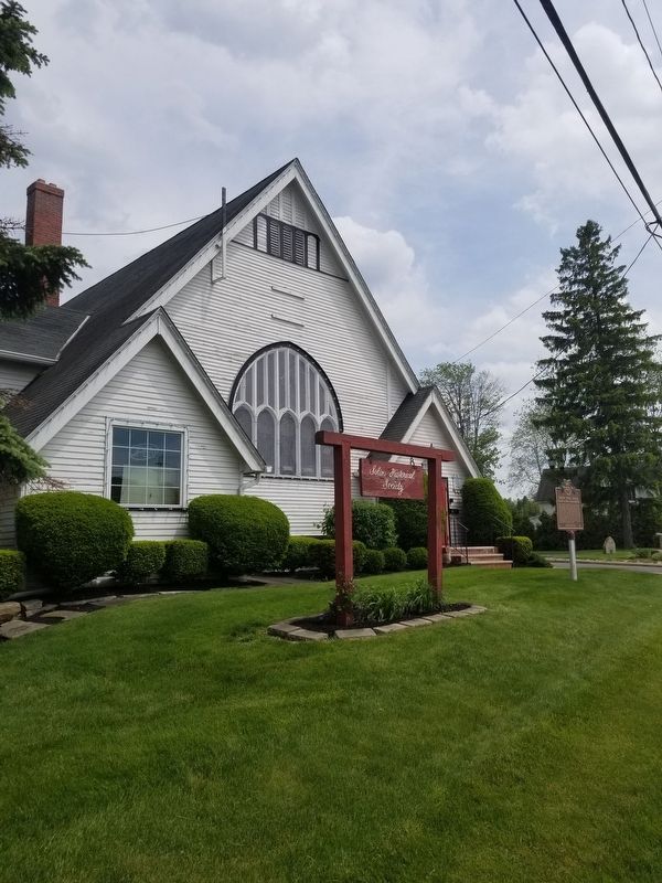
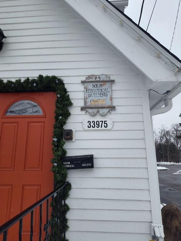
In 1845, the Disciples of Christ built the first of three churches to occupy this site. They built a second, larger structure, to replace the original in 1858. On August 6th, 1860. 29 year-old circuit minister Brother James A. Garfield, the future 20th President of the United States, was paid $250.00 to speak here every other Sunday for one year. An arsonist destroyed both the second church and the Solon Village Hall. Erected in 1899, this building replaced the second church and was occupied by the Disciples of Christ until 1920, when it merged with two local churches to establish the Federated Church of Solon. In 1951, the Pioneer Memorial Church split from the Federated Church to move into the abandoned Disciples Church, which they renovated. The City of Solon purchased the building in 1968, and it has since been the home of The Solon Historical Society.
Erected 2011 by Solon Historical Society and The Ohio Historical Society. (Marker Number 107-18.)
Topics and series. This historical marker is listed in this topic list: Religion & Religious Structures. In addition, it is included in the Ohio Historical Society / The Ohio History Connection
this page online
Location. 41° 23.281′ N, 81° 26.243′ W. Marker is in Solon, Ohio, in Cuyahoga County. It is on Bainbridge Road. Touch for map. Marker is at or near this postal address: 121 South St Suite 201, Solon OH 44139, United States of America. Touch for directions.

Regionally, this marker is in Greater Cleveland, on the Lake Erie Shore, and in the Western Reserve. It is also in the American Midwest. Globally, it is in North America, on the Great Lakes, in the Western Hemisphere, in the Western World, and in the Anglosphere. Historically, it finds itself in what was once the Haudenosaunee (Iroquois) Confederacy, the territory of the Mississippian Culture, and the Northwest Territory.
Other nearby markers. At least 8 other markers are within 4 miles of this marker, measured as the crow flies: Veterans Memorial (within shouting distance of this marker); a different marker also named Veterans Memorial (within shouting distance of this marker); Solon Veterans Honor Roll (within shouting distance of this marker); In Memoriam (within shouting distance of this marker); The Village of Glenwillow
Photographed by Parker Kuivila, May 17, 2017
2. Solon Town Center Marker
Photographed by Craig Doda, December 7, 2025
3. Solon Town Center Marker
Credits. This page was last revised on December 17, 2025. It was originally submitted on May 17, 2017, by Parker Kuivila of Chagrin Falls, Ohio. This page has been viewed 691 times since then and 54 times this year. Last updated on June 2, 2023, by Grant & Mary Ann Fish of Galloway, Ohio. Photos: 1, 2. submitted on May 17, 2017, by Parker Kuivila of Chagrin Falls, Ohio. 3. submitted on December 14, 2025, by Craig Doda of Napoleon, Ohio. • J. Makali Bruton was the editor who published this page.
