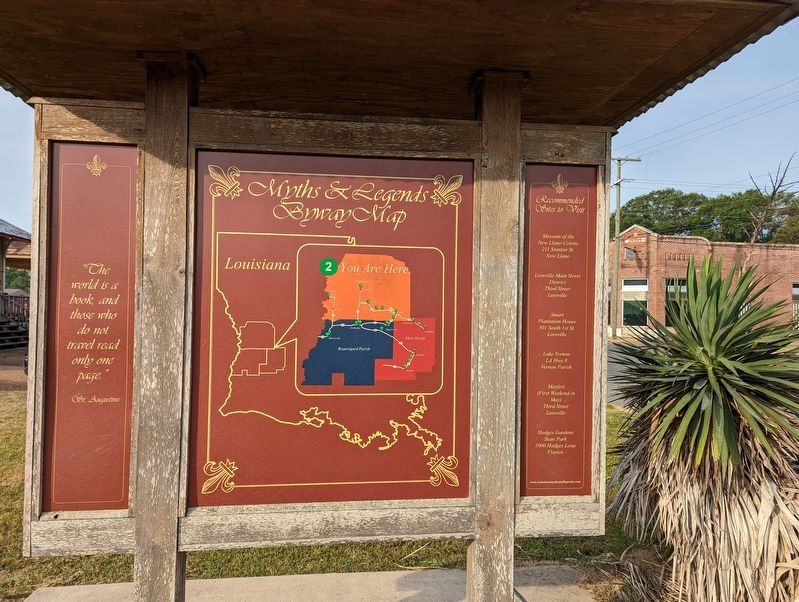
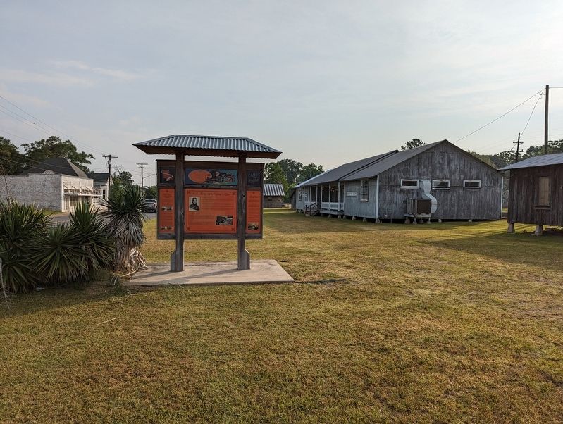
Leesville in Vernon Parish, Louisiana — The American South (West South Central)
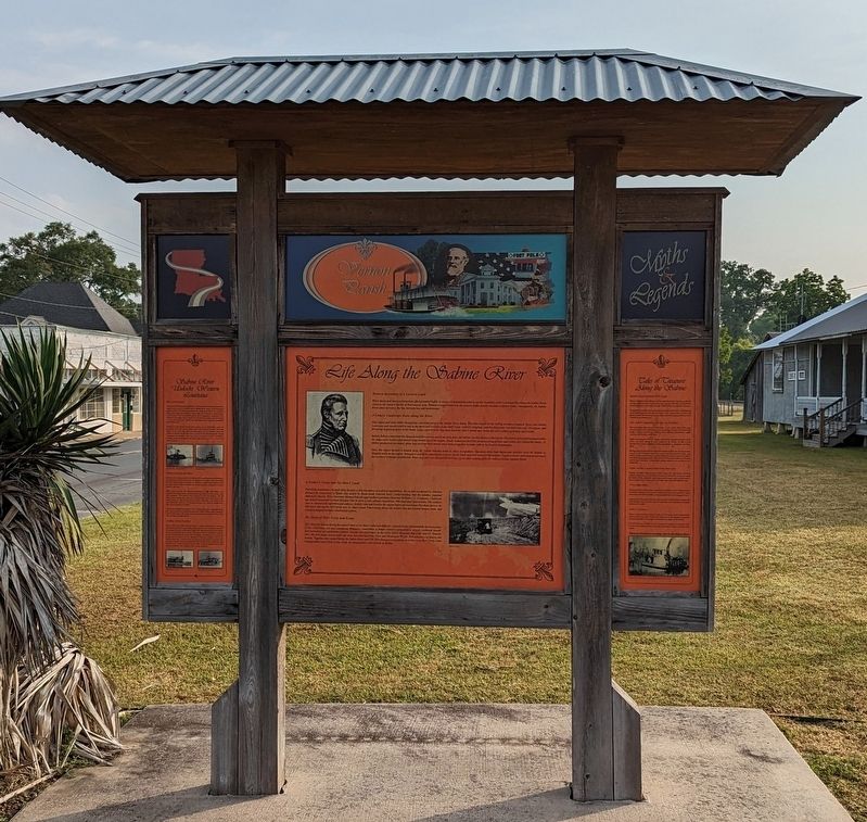
Life Along The Sabine River
— Louisiana Myths And Legends - Vernon Parish —
Center Panel
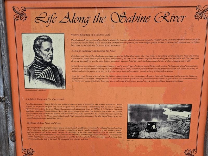
Western Boundary of a Lawless Land
When Spain and America formed an official neutral buffer in western Louisiana in order to set the boundary of the Louisiana Purchase, the Sabine River stood as the western border of that neutral strip. Without troops to patrol it, the neutral buffer quickly became a lawless land consequently, the Sabine River often served as the line between law and lawlessness
A Unique Landscape Runs along the River
Flat slopes and wide timber floodplains constitute most of the Sabine River basin. The river begins in the rolling terrain of eastern Texas and central Louisiana and travels south to end in the mires and swamps of the Gulf Coast Loblolly, longleaf, and shortleaf pine, red and white oak; blackgum; and flowering dogwood grow in the basin. Large cypress trees that once lined the river's banks also made the river a place of beauty and wealth.
In fact, Sabine comes from the Spanish word for cypress, and in its early days, the Sabine was the lifeline of the region. The Sabine furnished transportation for many early settlers and moved cargo in and out of the region, Small, homespun facilities for processing lumber and cotton also dotted the banks As timber production increased, great logs cut from pine forests were lashed together to make rafts to be floated downstream.
Once the region became a neutral strip, the Sabine became home to other occupations. Squatters from both Spain and America used the Sabine to illegally settle in the region. Smugglers seized the opportunity to move goods back and forth between the nations. Fugitive slaves and wanted men used the territory to escape jurisdiction. Some men also saw the neutral territory as an ideal staging point for military forays against South
A Soldier's Foray into No Man's Land
Patrolling Louisiana's Neutral Strip became a delicate dance of political negotiation. Any action conducted by America aroused the suspicions of Spain. Any action by Spain made America leery Understanding that the solution required diplomatic finesse, Texas Governor Manuel Salcedo approached Louisiana Governor William C. C. Claiborne Claiborne appointed Lieutenant Colonel Zebulon Pike to form a joint military expedition. Pike had clear instructions. His soldiers were to remove only squatters and outlaws. Settlers who had lived in the region before the Louisiana Purchase were to be left alone. During his 1812 foray into No Man's Land, Pike's troops drove out outlaws but also burned houses tents, and camps belonging to many established settlers.
The Story of Burr Ferry and Evans
Life along the Sabine during the region's time as No Man's Land was difficult. A person had to withstand the harsh realities of the wilderness and face wayfaring strangers---sometimes a simple traveler, sometimes a greedy, cutthroat bandit and times an overzealous soldier. Despite the challenges, in the early 1800s Jonathan Day Cain and Dr. Timothy are the first Angle men to settle the area, traveled down the Ohio and Mississippi Rivers, then crossed overland to the Sabine. Together, they moved along the Sabine River until Dr. Burr homesteaded a place now known as Burr Ferry. Cain homesteaded land a little to the south; his homestead is now known as Evans.
Left Panel
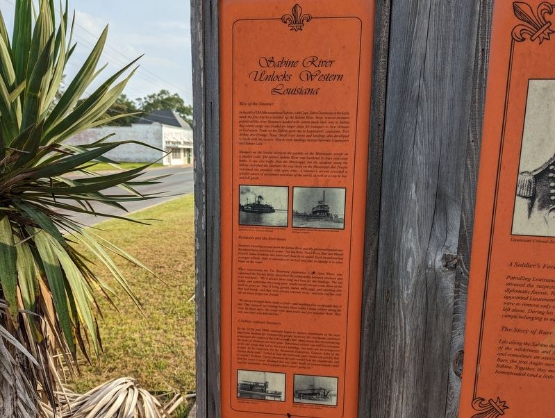
Sabine River Unlocks Western Louisiana
Rise of the Steamer
In the fall of 1843 the steamboat Sabine, with Capt. John Clemmons at the helm, made the first trip by a steamer up the Sabine River. Soon, several steamers populated the river Steamers loaded with cotton made their way to Sabine Bay where cargo was loaded on larger ships for transport to New Orleans or Galveston Trade on the Sabine gave rise to Logansport, Louisiana; Port Arthur, and Orange, Texas. Small river towns and landings also developed to trade with the vessels. Nearly sixty landings existed between Logansport and Sabine Lake.
Steamers on the Sabine mirrored the packets on the Mississippi, except on a smaller scale. The narrow Sabine River was bordered by trees and steep banks. It saw less traffic than the Mississippi, but the residents along the Sabine cherished the steamers the way those on the Mississippi did. People welcomed the steamers with open arms. A steamer's arrival provided a reliable source of excitement and news of the world, as well as a way to buy and sell goods.
Residents and the Riverboats
Steamers traveling up and down the Sabine River quickly garnered reputations. Residents knew each boat by name-Neches Belle, Pearl River, Star, and Maude Howell. Some residents also knew each boat by its sound. Each steamboat had a unique whistle, built to announce its arrival and also to identify it to other boats on the water.
When interviewed for The Beaumont Enterprise, Capt. John White, who captained the Neches Belle, described the relationship between steamers and river residents: "We'd always blow long and loud for the landings. The old ladies, and sometimes the young ones, would nearly always come down to the bank to greet us. They'd bring greens, butter, milk, eggs, and anything else they had handy. And they were always presents to us...and you can bet your life we never forgot our friends."
"We always brought them candy or fruit-and anything else we thought they'd like. They enjoyed our coming because there weren't many visitors along the river. In those days, the roads were mud trails and few traveled them. They only saw their own kith and kin."
A Sabine without Steamers
By the 1870s and 1880s railroads began to replace steamboats as the most important medium for transporting goods; however, the riverboats continued to navigate the waters of the Sabine until 1900. Many towns that thrived during the years of steamers are now gone. Sometimes visitors can still see remnants of the old roads that led to the town's landings, but most are too overgrown to find. In his interview for the Beaumont Enterprise, Captain John of the Neches Belle said, "I tried to beat the railroads, and I found out quickly that it couldn't be done. I never dreamed the rails would beat the steamboats, and then for years I never dreamed that any other mode of transportation could beat the railroads-but it appears that's what's going on."
Right Panel
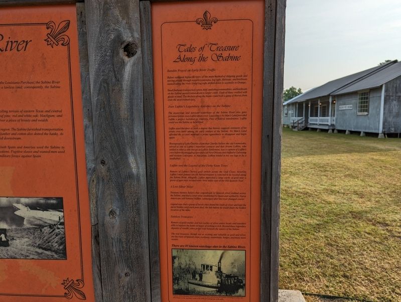
Tales Of Treasure Along The Sabine
Bandits Preyed on Early River Traffic
Before railroads replaced rivers as the main method of shipping goods and moving people through western Louisiana, log rafts, flatboats, and keelboats teemed along the river. Great log rafts drifted down to sawmills in Orange.
Small flatboats transported cotton, beef, and other commodities, and keelboats on the Sabine moved cotton down to larger cities. Each of these swelled with goods to steal. The thickets along the banks could hide a gang of thieves from even the most trained eyes.
Jean Lafitte's Legendary Activities on the Sabine
The mysterious and intricate waterways of the Sabine River also gave privateer/pirate Jean Lafitte ideal cover. Louisiana's No Man's Land provided Lafitte a perfect backdoor to America. Free of federal interference, Laffite could use the Sabine as he wished.
Laffite used the river to such a degree that history suggests remnants of his pirate crew were among the early settlers of the Sabine. No Man's Land afforded the ex-crew members a prime opportunity to disappear and begin again.
Townspeople of Lake Charles claim that Charles Sallier, the city's namesake, served as one of Lafitte's important contacts and that Arsene LeBleu, who settled in what is now known as LeBleu Settlement, was a captain of Laffite's crew before the smuggling operation left New Orleans and shifted to Galveston and western Louisiana. At that point, LeBleu traded in his sea legs to be a landlubber.
Laffite and the Legend of the Forty Gum Trees
Rumors of Lafitte's buried gold stretch across the Gulf Coast; however, Lafitte's most famous site for buried treasure is rumored to be located along the Sabine River. Allegedly, Lafitte deposited a large cache of gold near a grove of gum trees located some three miles east of the Old Spanish Trail.
A Lost Silver Mine
Treasure hunters believe that wagonloads of Spanish silver trekked across the Sabine, and that a silver mine established by Spain and worked by Native Americans still remains hidden, submerged after the river changed course.
Legend says that a group of locals once found the stash of silver and kept the secret hidden until each man died, the last before he could share the hidden location of the mine.
Sunken Treasures
Rumors of gold stashes and lost caches of silver entice locals and outsiders alike to explore the banks in hopes of striking it rich. Beyond these legendary deposits of wealth, other prizes wait beneath the waters of the Sabine. The real treasures, though not as exciting and valuable as gold and silver, are the ruins of Spanish ships, towboats, steamboats, barges, and many more vessels.
Erected by State Of Louisiana. (Marker Number 2.)
Topics and series. This historical marker is listed in these topic lists: Settlements & Settlers • Waterways & Vessels. In addition, it is included in the Louisiana Myths & Legends Byway series list.
Location. 31° 8.183′ N, 93° 15.711′ W. Marker is in Leesville, Louisiana, in Vernon Parish. Marker is on South 3rd Street near East Fertitta Boulevard, on the right when traveling north. Touch for map. Marker is at or near this postal address: 803 3rd Street, Leesville LA 71446, United States of America. Touch for directions.
Other nearby markers. At least 8 other markers are within walking distance of this marker. Kansas City Southern Railroad Depot (a few steps from this marker); Pioneer Park (about 400 feet away, measured in a direct line); Saint Michael The Archangel Catholic Church 1913 (approx. 0.2 miles away); Vernon Baptist Association (approx. 0.2 miles away); First National Bank (approx. 0.4 miles away); Vernon Parish Veterans' Memorial (approx. 0.4 miles away); Vernon Parish Founders (approx. 0.4 miles away); Vernon Parish Courthouse (approx. 0.4 miles away). Touch for a list and map of all markers in Leesville.
More about this marker. Located on the grounds of the Museum of West Louisiana.
Credits. This page was last revised on June 4, 2023. It was originally submitted on June 4, 2023, by Cajun Scrambler of Assumption, Louisiana. This page has been viewed 251 times since then and 93 times this year. Photos: 1, 2, 3, 4, 5, 6. submitted on June 4, 2023, by Cajun Scrambler of Assumption, Louisiana.
