Bartley in Morris County, New Jersey — The American Northeast (Mid-Atlantic)
Bartleyville
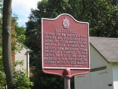
Photographed by Alan Edelson, September 14, 2009
1. Bartleyville Marker
Erected by Morris County Heritage Commission.
Topics and series. This historical marker is listed in these topic lists: Industry & Commerce • Railroads & Streetcars. In addition, it is included in the New Jersey, Morris County Heritage Commission series list. A significant historical year for this entry is 1861.
Location. 40° 48.842′ N, 74° 43.66′ W. Marker is in Bartley, New Jersey, in Morris County. It is on Bartley Road, on the right when traveling north. Touch for map. Marker is in this post office area: Chester NJ 07930, United States of America. Touch for directions.

Regionally, this marker is in North Jersey and in the New York City Metropolitan Area. It is also in the American Northeast and in the Mid-Atlantic. Globally, it is in North America, the Western Hemisphere, the Western World, and the Anglosphere. Historically, it
this page online
Other nearby markers. At least 8 other markers are within 3 miles of this marker, measured as the crow flies: Flanders-Drakestown Road Stone Arch Bridge (approx. 2.4 miles away); Chester Area Veterans Monument (approx. 2.4 miles away); Cooper Gristmill (approx. 2.4 miles away); Bartley Turbine (approx. 2½ miles away); Hacklebarney (approx. 2½ miles away); Milltown - A 19th Century Village (approx. 2½ miles away); First Congregational Church (approx. 2½ miles away); Mount Olive Village (approx. 2.6 miles away).
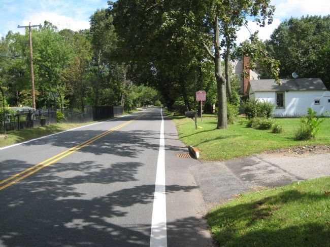
Photographed by Alan Edelson, September 14, 2009
2. Bartleyville Marker
Credits. This page was last revised on June 16, 2016. It was originally submitted on September 17, 2009, by Alan Edelson of Union Twsp., New Jersey. This page has been viewed 1,946 times since then and 70 times this year. Photos: 1, 2. submitted on September 17, 2009, by Alan Edelson of Union Twsp., New Jersey. • Kevin W. was the editor who published this page.
