Near Eureka Springs in Carroll County, Arkansas — The American South (West South Central)
1st Arkansas Cavalry (U.S.)
Inscription.
The 1st Arkansas Cavalry (U.S.), comprised mainly of Unionist refugees, mustered into service in July 1862. The regiment fought at Prairie Grove in 1862 and Fayetteville in 1863, but its main duty was fighting the bushwhackers and irregular Confederate cavalry that roamed the Ozarks, including Carroll County. One action took place at the Skelton Farm near here, where Company F fought a guerrilla band, killing two and wounding four. The 1st Arkansas Cavalry (U.S.) served until August 1865, losing 110 men in combat and 235 to disease from its 1,765 soldiers.
Erected 2015 by Arkansas Civil War Sesquicentennial Commission • Citizens of Carroll County • Arkansas Natural and Cultural Resources Council. (Marker Number 94.)
Topics and series. This historical marker is listed in this topic list: War, US Civil. In addition, it is included in the Arkansas Civil War Sesquicentennial Commission series list. A significant historical month for this entry is July 1862.
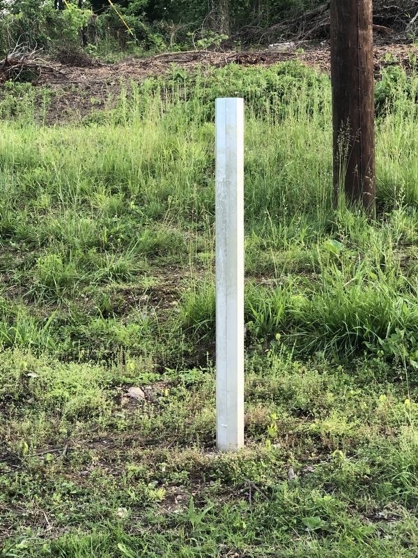
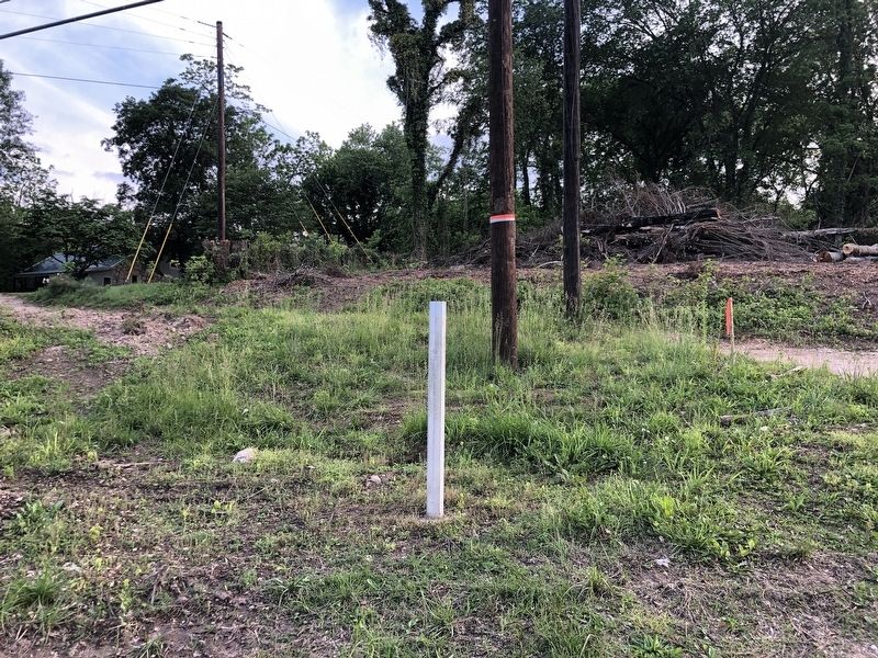
Location. Marker is missing. It was located near 36° 27.7′ N, 93° 45.181′ W. Marker was near Eureka Springs, Arkansas, in Carroll County. Marker was at the intersection of State Highway 187 and Mockingbird Lane, on the right when traveling south on State Highway 187. Touch for map. Marker was at or near this postal address: 1274 State Hwy 187, Eureka Springs AR 72631, United States of America. Touch for directions.
Other nearby markers. At least 8 other markers are within 4 miles of this location, measured as the crow flies. Beaver Spring (approx. 1.2 miles away); Beaver Bridge (approx. 1.2 miles away); The Railroad Depot (approx. 3˝ miles away); Steam Locomotive (approx. 3˝ miles away); The Round House (approx. 3˝ miles away); The Brownstone Inn (approx. 3˝ miles away); Grotto Spring (approx. 3.6 miles away); The Town that Water Built (approx. 3.6 miles away). Touch for a list and map of all markers in Eureka Springs.
Credits. This page was last revised on June 4, 2023. It was originally submitted on June 4, 2023, by Duane and Tracy Marsteller of Murfreesboro, Tennessee. This page has been viewed 88 times since then and 23 times this year. Photos: 1, 2. submitted on June 4, 2023, by Duane and Tracy Marsteller of Murfreesboro, Tennessee.
Editor’s want-list for this marker. Closeup and wide-area photographs of restored marker • Can you help?

