Fort Wayne in Allen County, Indiana — The American Midwest (Great Lakes)
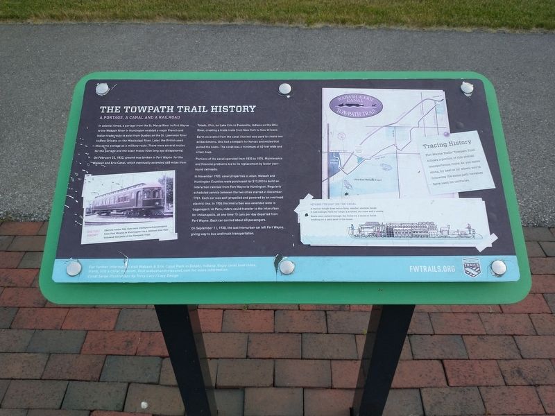
The Towpath Trail History
A portage, a canal and a railroad
On February 22, 1832, ground was broken in Fort Wayne for the Wabash and Erie Canal, which eventually extended 468 miles from Toledo, Ohio, on Lake Erie to Evansville, Indiana on the Ohio River, creating a trade route from New York to New Orleans.
Earth excavated from the canal channel was used to create two embankments. One had a towpath for horses and mules that pulled the boats. The canal was a minimum of 40 feet wide and 4 feet deep.
Portions of the canal operated from 1835 to 1874. Maintenance and financial problems led to its replacement by faster year-round railroads.
In November 1900, canal properties in Allen, Wabash and Huntington Counties were purchased for $15,000 to build an interurban railroad from Fort Wayne to Huntington. regularly scheduled service between the two cities started in December 1901. Each car was self-propelled and powered by an overhead electric line. In 1904 the interurban was extended west to Logansport. At Peru, riders could transfer to the interurban for Indianapolis. At one time 15 cars per day departed from Fort Wayne. Each car carried about 60 passengers.
On September 11, 1938, the last interurban car left Fort Wayne, giving was to bus and truck transportation.
[Caption]: Tracing History. Fort Wayne Trails Towpath Trail follows a portion of this storied transportation route. As you move along, by heel or by wheel, you're following the same path travelers have used for centuries.
[Caption]: Moving Freight on the Canal. A typical freight boat was a long, slender, shallow barge. It had enough room for cargo, a kitchen, the crew and a stable. Boats were pulled through the water by a mule or horse walking on a path next to the canal.
[Caption]: For further information visit Wabash & Erie Canal Park in Delphi, Indiana. Enjoy canal boat rides, trails, and a canal museum. Visit wabashanderiecanal.com for more information. Canal barge illustrations by Terry Lacy / Lacy Design
Erected by FWTRAILS.org.
Topics and series. This historical marker is listed in these topic lists: Railroads & Streetcars • Waterways & Vessels. In addition, it is included in the Wabash & Erie Canal series list. A significant historical date for this entry is February 22, 1832.
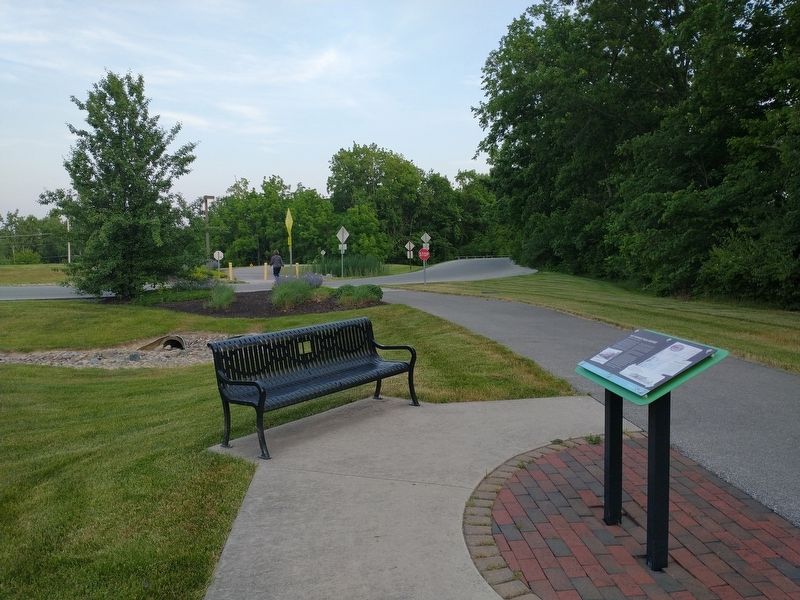
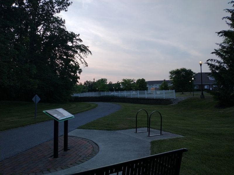
Location. 41° 2.19′ N, 85° 14.547′ W. Marker is in Fort Wayne, Indiana, in Allen County. Marker is on Towpath / Eagle Marsh Trail, on the right when traveling north. Touch for map. Marker is in this post office area: Fort Wayne IN 46804, United States of America. Touch for directions.
Other nearby markers. At least 8 other markers are within 5 miles of this marker, measured as the crow flies. Lost Birds of Canal Days (about 500 feet away, measured in a direct line); The Little River Valley Story (approx. ¼ mile away); Forty et Eight (approx. 4 miles away); Allen County Revolutionary War Memorial (approx. 4 miles away); Purple Heart Tribute Memorial (approx. 4 miles away); In Memory (approx. 4 miles away); DAV Chapter #40 Veterans Memorial (approx. 4 miles away); Maumee - Wabash Portage (approx. 4.2 miles away). Touch for a list and map of all markers in Fort Wayne.
Credits. This page was last revised on June 7, 2023. It was originally submitted on June 4, 2023, by Tom Bosse of Jefferson City, Tennessee. This page has been viewed 100 times since then and 33 times this year. Photos: 1, 2, 3. submitted on June 4, 2023, by Tom Bosse of Jefferson City, Tennessee. • Andrew Ruppenstein was the editor who published this page.


