
Eureka Springs in Carroll County, Arkansas — The American South (West South Central)
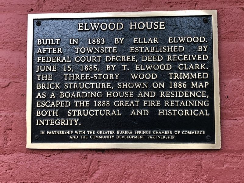
Elwood House
Photographed by Duane and Tracy Marsteller, May 21, 2023
1. Elwood House Marker
Erected by The Greater Eureka Springs Chamber of Commerce • The Community Development Partnership.
Topics. This historical marker is listed in this topic list: Architecture. A significant historical year for this entry is 1883.
Location. 36° 24.251′ N, 93° 44.31′ W. Marker is in Eureka Springs, Arkansas, in Carroll County. It is on Spring Street south of Pine Street, on the right when traveling south. Touch for map. Marker is in this post office area: Eureka Springs AR 72632, United States of America. Touch for directions.

Regionally, this marker is on Arkansas’ Ozark Plateau, in the Cherokee Heritage Region, and in Osage Territory. It is also in the American South, specifically in the Upper South, and in the Ozarks. Globally, it is in North America, the Western Hemisphere, the Western
this page online
Other nearby markers. At least 8 other markers are within walking distance of this marker: Fire and Brick & Stone (within shouting distance of this marker); Kentucky House (within shouting distance of this marker); Sweet Spring Hotel - Huntington Infirmary - Sweet Spring Home (within shouting distance of this marker); Sweet Spring (within shouting distance of this marker); Eastview Cottage (about 500 feet away, measured in a direct line); Harding Spring (about 600 feet away); The Lay of the Land (about 600 feet away); Citizen's Bank Building (about 600 feet away). Touch for a list and map of all markers in Eureka Springs.
Photographed by Duane and Tracy Marsteller, May 21, 2023
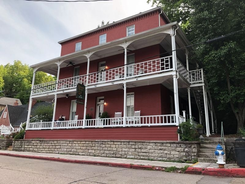
2. Elwood House Marker
Marker is on rear porch of the house, now a bed and breakfast.
Credits. This page was last revised on June 4, 2023. It was originally submitted on June 4, 2023, by Duane and Tracy Marsteller of Murfreesboro, Tennessee. This page has been viewed 229 times since then and 19 times this year. Photos: 1, 2. submitted on June 4, 2023, by Duane and Tracy Marsteller of Murfreesboro, Tennessee.
