Eureka Springs in Carroll County, Arkansas — The American South (West South Central)
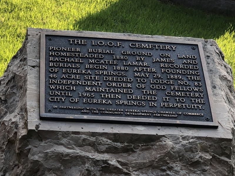
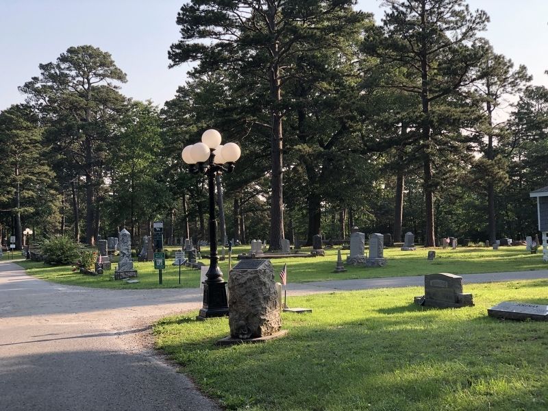
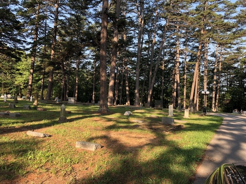
The I.O.O.F. Cemetery
Erected by The Greater Eureka Springs Chamber of Commerce • The Community Development Partnership.
Topics. This historical marker is listed in these topic lists: Cemeteries & Burial Sites • Fraternal or Sororal Organizations. A significant historical year for this entry is 1880.
Location. 36° 23.888′ N, 93° 42.308′ W. Marker is in Eureka Springs, Arkansas, in Carroll County. Marker can be reached from East Van Buren (U.S. 62) near County Road 205, on the left when traveling east. Marker is on Eureka Springs Cemetery entrance drive. Touch for map. Marker is at or near this postal address: 4123 E Van Buren, Eureka Springs AR 72632, United States of America. Touch for directions.
Other nearby markers. At least 8 other markers are within 2 miles of this marker, measured as the crow flies. The Potter's Field (about 700 feet away, measured in a direct line); The Berlin Wall (approx. 1.3 miles away); Concord School House (approx. 1.4 miles away); Laundry Spring (approx. 1.6 miles away); Magnetic Spring (approx. 1.6 miles away); Few Things But Staples … (approx. 1.7 miles away); Mud Street to Main Street (approx. 1.7 miles away); The Star of Gladness (approx. 1.8 miles away). Touch for a list and map of all markers in Eureka Springs.
Also see . . .
1. Eureka Springs Cemetery (PDF). National Register of Historic Places nomination for the cemetery, which was listed in 2018. (National Park Service) (Submitted on June 5, 2023, by Duane and Tracy Marsteller of Murfreesboro, Tennessee.)
2. IOOF Cemetery. Find a Grave entry on the burial ground. (Submitted on June 5, 2023, by Duane and Tracy Marsteller of Murfreesboro, Tennessee.)
Credits. This page was last revised on June 5, 2023. It was originally submitted on June 5, 2023, by Duane and Tracy Marsteller of Murfreesboro, Tennessee. This page has been viewed 101 times since then and 34 times this year. Photos: 1, 2, 3. submitted on June 5, 2023, by Duane and Tracy Marsteller of Murfreesboro, Tennessee.


