Farmington in Davis County, Utah — The American Mountains (Southwest)
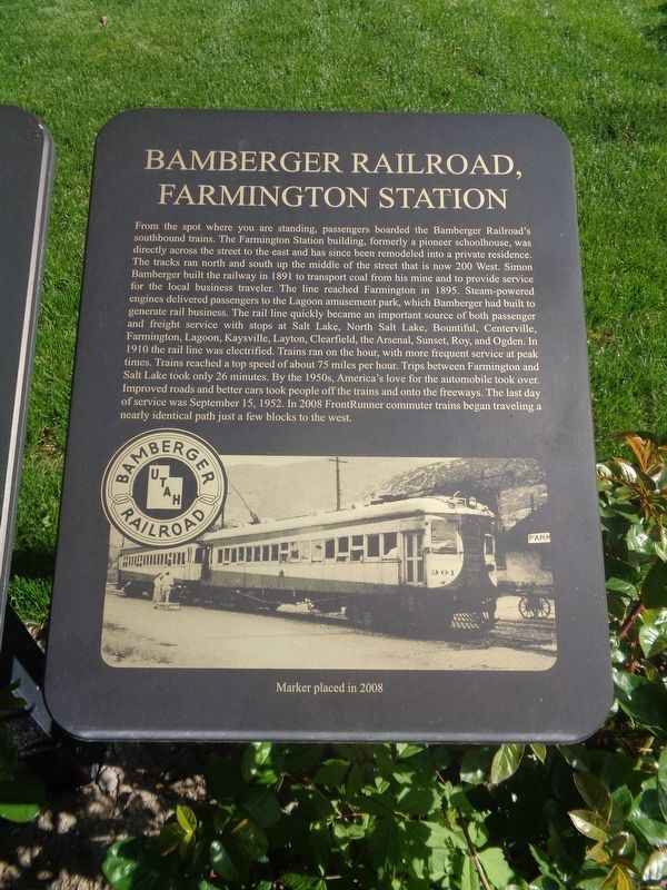
Bamberger Railroad, Farmington Station
Photographed by Jason Voigt, May 11, 2023
1. Bamberger Railroad, Farmington Station Marker
Inscription.
From the spot where you are standing, passengers boarded the Bamberger Railroad's southbound trains. The Farmington Station building, formerly a pioneer schoolhouse, was directly across the street to the east and has since been remodeled into a private residence. The tracks ran north and south up the middle of the street that is now 200 west. Simon Bamberger built the railway in 1891 to transport coal from his mine and to provide service for the local business traveler. The line reached Farmington in 1895. Steam-powered engines delivered passengers to Lagoon amusement park, which Bamberger had built to generate rail business. The rail line quickly became an important source for both passenger and freight service with stops at Salt Lake, North Salt Lake, Bountiful, Centerville, Farmington, Lagoon, Kaysville, Layton, Clearfield, the Arsenal, Sunset, Roy and Ogden. In 1910 the rail, line was electrified. Trains ran on the hour, with more frequent service at peak times. Trains reached a top speed of about 75 miles per hour. Trips between Farmington and Salt Lake took only 26 minutes. By the 1950's, America's love for the automobile
Click or scan to see this page online
took over. Improved roads and better cars took people off the trains and onto the freeways. The last day of service was September 15, 1952. In 2008 Front Runner commuter trains began traveling a nearly identical path just a few blocks to the west.
Erected 2008.
Topics. This historical marker is listed in this topic list: Railroads & Streetcars. A significant historical date for this entry is September 15, 1952.
Location. 40° 58.839′ N, 111° 53.522′ W. Marker is in Farmington, Utah, in Davis County. It is at the intersection of West State Street and North 200 West, on the right when traveling west on West State Street. Touch for map. Marker is at or near this postal address: 208 W State St, Farmington UT 84025, United States of America. Touch for directions.
Regionally, this marker is in the Wasatch Front and in Greater Salt Lake. It is also in the American Mountain West and on the Colorado Plateau. Globally, it is in North America, the Rocky Mountains, the Western Hemisphere, the Western World, and the Anglosphere. Historically, it finds itself in what was once New Spain and also Mexico’s Alta California.
Credits. This page was last revised on June 7, 2023. It was originally submitted on June 7, 2023, by Jason Voigt of Glen Carbon, Illinois. This page has been viewed 988 times since then and 90 times this year. Photos:1, 2. submitted on June 7, 2023, by Jason Voigt of Glen Carbon, Illinois.