Shandon in San Luis Obispo County, California — The American West (Pacific Coastal)
Home Sweet Homestead
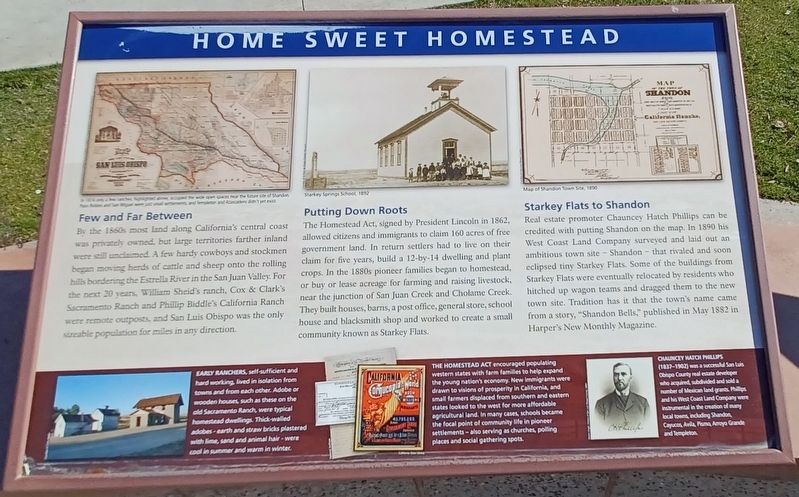
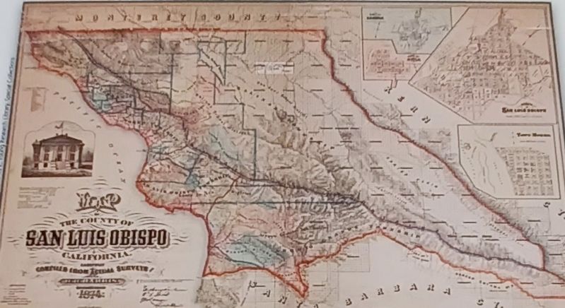
By the 1860s most land along California’s central coast was privately owned, but large territories farther inland were still unclaimed. A few hardy cowboys and stockmen began moving herds of cattle and sheep onto the rolling hills bordering the Estrella River in the san Juan Valley. For the next 20 year, William Seid’s ranch, Cox & Clark’s Sacramento Ranch and Phillip Biddle’s California Ranch were remote outpost and san Luis Obispo was the only sizeable population for miles in any direction.
Putting Down Roots
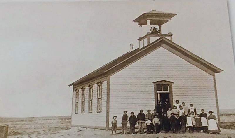
The Homestead Act, signed by President Lincoln in 1862, allowed citizens and immigrants to claim 160 acres of free government land. In return settlers had to live on their claim for five years, build a 12-by-4 dwelling and plant crops. In the 1880s pioneer families began to homestead, or buy or lease acreage for farming and raising livestock, near the junction of San Juan Creek and Cholame Creek. They built houses, barns, a post office, general store, school house and blacksmith shop and worked to create a small community known as Starkey Flats.
Starkey Flats to Shandon
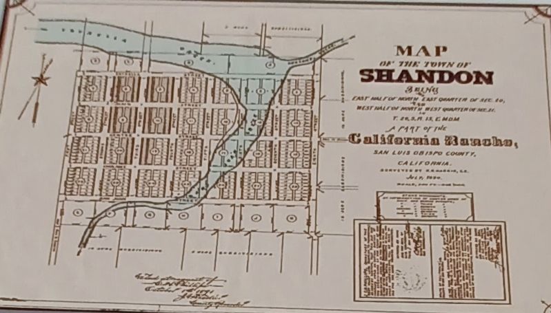
Real estate promoter Chauncey Hatch Phillips can be credited with putting Shandon on the map. In 1890 his West Coast Land Company surveyed and load out an ambitious town site – Shandon – that rivaled and soon eclipsed tiny Starkey Flats. Some of the buildings from Starkey Flats were eventually relocated by residents who hitched up wagon teams and dragged them to the new town site. Tradition has it that the town’s name came from a story, “Shandon Bells,” published in May 1882 in Harper’s New Monthly Magazine.
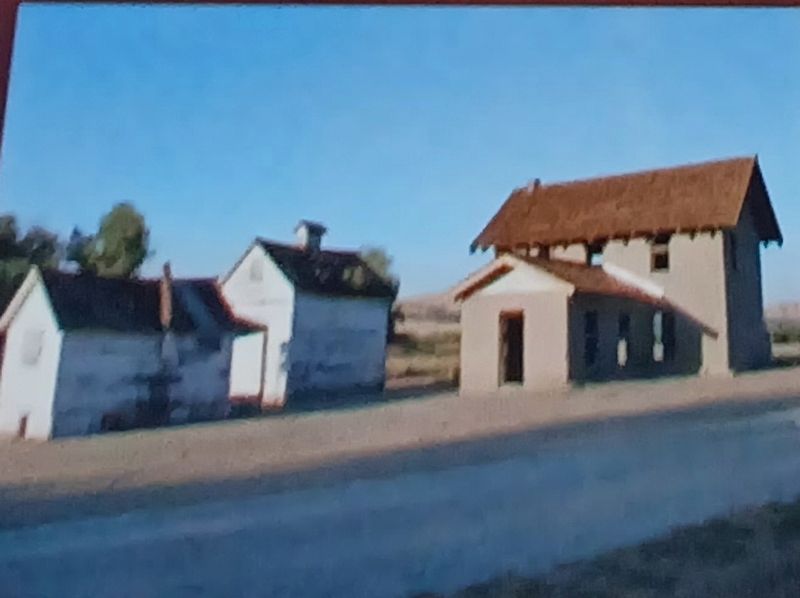
Left Bottom Panel: EARLY RANCHERS self-sufficient and hard working lived in isolation from towns and from each other. Adobe or wooden houses, such as these on the old Sacramento Ranch, were typical homestead dwellings. Thick walled adobes – earth and straw bricks plastered with lime, sand and animal hair – were cool in summer and warm in winter.
Center Bottom Panel: THE HOMESTEAD ACT encouraged populating western states with farm families to help expand the young nation’s economy. New immigrants were drawn to visions of prosperity in California, and small farmers displaced from southern and eastern states looked to the west for more affordable agricultural land. In many cases, schools became the focal point of community life in pioneer settlement – also serving as churches, polling places and social gathering spots.
Right Bottom Panel: CHAUCEY HATCH PHILLIPS (1837 – 1902) was a successful San Luis Obispo County real estate developer who acquired, subdivided and sold a number of Mexican land grants. Phillips and his West Coast Land Company were instrumental in the creation of many local towns, including Shandon, Cayucos, Avila, Pismo, Arroyo Grande and Templeton.
Topics. This historical marker is listed in these topic lists: Agriculture • Animals. A significant historical month for this entry is May 1882.
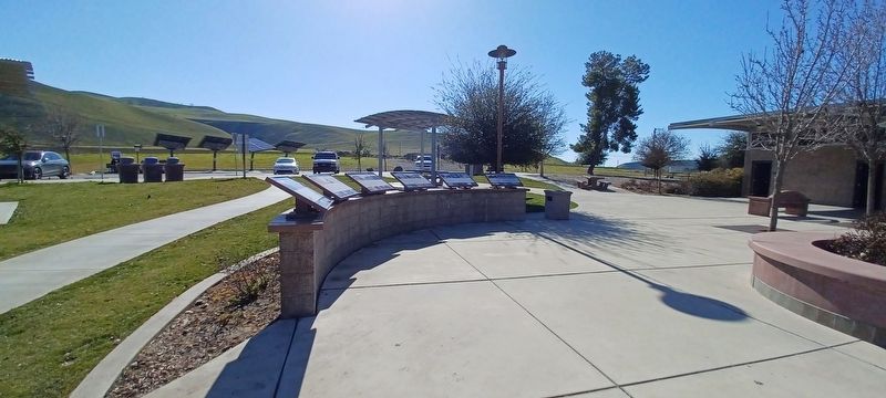
Location. 35° 40.509′ N, 120° 20.802′ W. Marker is in Shandon, California, in San Luis Obispo County. Marker is on Route 41, on the right when traveling north. Located 0.9 mi. West of Shandon in a Reststop on Route 41 (West). Touch for map. Marker is at or near this postal address: Route 41, Shandon CA 93461, United States of America. Touch for directions.
Other nearby markers. At least 5 other markers are within 15 miles of this marker, measured as the crow flies. Powerful Forces at Work (here, next to this marker); Life On The Land (here, next to this marker); Lee Tucker Pool (approx. 2.2 miles away); Tribute to a Young Man (approx. 4.4 miles away); Creston Community Church (approx. 14.7 miles away).
Credits. This page was last revised on June 22, 2023. It was originally submitted on June 7, 2023, by Denise Boose of Tehachapi, California. This page has been viewed 65 times since then and 20 times this year. Photos: 1, 2, 3, 4, 5, 6. submitted on June 7, 2023, by Denise Boose of Tehachapi, California. • Bill Pfingsten was the editor who published this page.
