Green Prairie Township near Little Falls in Morrison County, Minnesota — The American Midwest (Upper Plains)
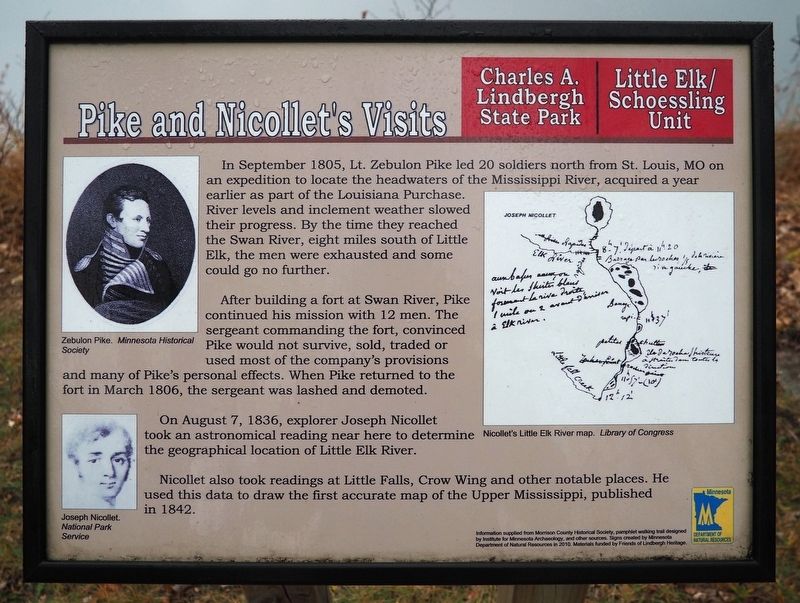
Pike and Nicollet's Visits
Charles A. Lindbergh State Park
— Little Elk/Schoessling Unit —
After building a fort at Swan River, Pike continued his mission with 12 men. The sergeant commanding the fort, convinced Pike would not survive, sold, traded or used most of the company's provisions and many of Pike's personal effects. When Pike returned to the fort in March 1806, the sergeant was lashed and demoted.
On August 7, 1836, explorer Joseph Nicollet took an astronomical reading near here to determine the geographical location of Little Elk River.
Nicollet also took readings at Little Falls, Crow Wing and other notable places. He used this data to draw the first accurate map of the Upper Mississippi, published in 1842.
Captions:
Zebulon Pike. Minnesota Historical Society
Joseph Nicollet. National Park Service
Nicollet's Little Elk River map. Library of Congress
Erected 2010 by Minnesota Department of Natural Resources.
Topics. This historical marker is listed in these topic lists: Exploration • Forts and Castles • Waterways & Vessels. A significant historical year for this entry is 1805.
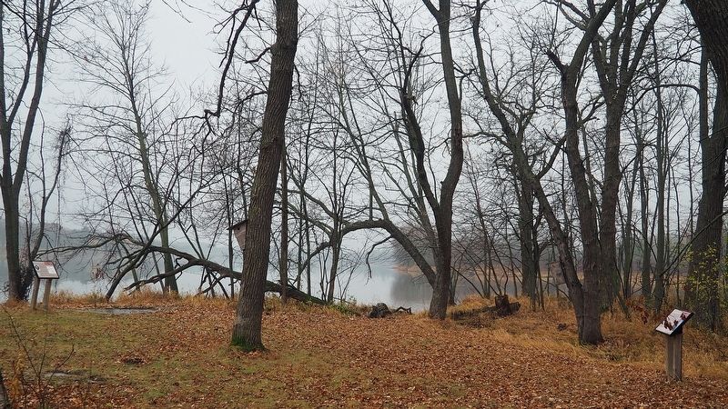
Location. 46° 0.605′ N, 94° 21.761′ W. Marker is near Little Falls, Minnesota, in Morrison County. It is in Green Prairie Township. Marker can be reached from Grouse Road. The marker is in the Little Elk unit of Charles A. Lindbergh State Park along the loop interpretive trail. Touch for map. Marker is at or near this postal address: 17443 Grouse Road, Little Falls MN 56345, United States of America. Touch for directions.
Other nearby markers. At least 8 other markers are within walking distance of this marker. Ojibwe Presence (a few steps from this marker); Area Settlement (within shouting distance of this marker); Milling District (about 400 feet away, measured in a direct line); Log Jams (about 500 feet away); Institute for MN Archeology Site MO20 (approx. 0.2 miles away); The French Fort (approx. ¼ mile away); Major Morrill's Road (approx. 0.4 miles away); Interesting Names (approx. 0.4 miles away). Touch for a list and map of all markers in Little Falls.
Credits. This page was last revised on June 8, 2023. It was originally submitted on June 8, 2023, by McGhiever of Minneapolis, Minnesota. This page has been viewed 78 times since then and 36 times this year. Photos: 1, 2. submitted on June 8, 2023, by McGhiever of Minneapolis, Minnesota. • J. Makali Bruton was the editor who published this page.

