
Pine Hill Ranchettes near Richmond in Fort Bend County, Texas — The American South (West South Central)
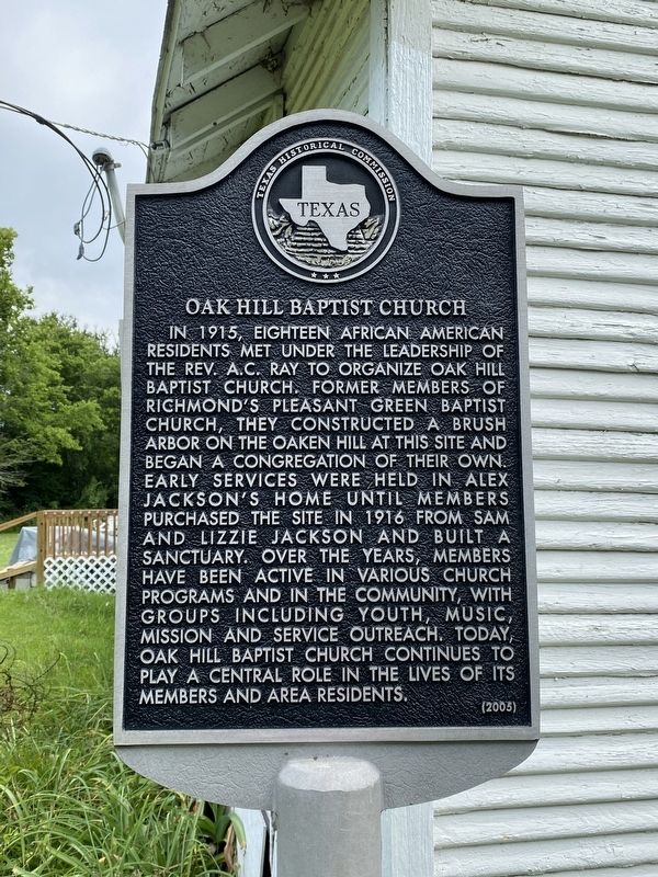
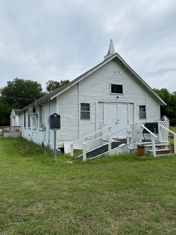
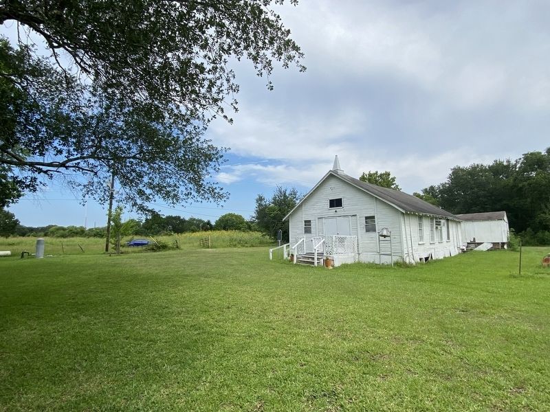
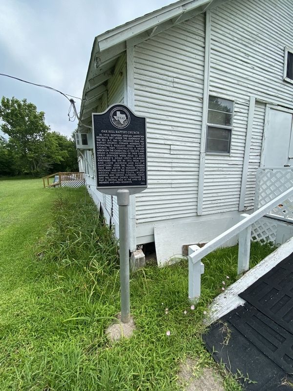
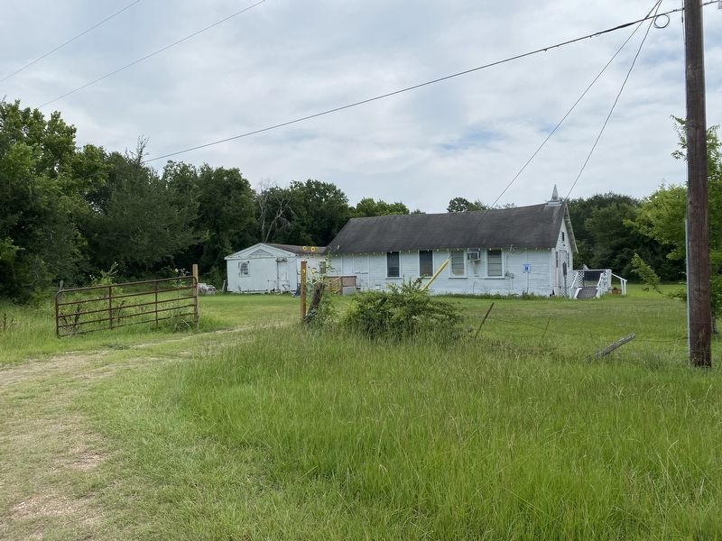
Oak Hill Baptist Church
Photographed by Madeleine Schimmer, June 8, 2023
1. Oak Hill Baptist Church Marker
Erected 2005 by Texas Historical Commission. (Marker Number 13288.)
Topics. This historical marker is listed in these topic lists: African Americans • Religion & Religious Structures. A significant historical year for this entry is 1915.
Location. 29° 39.94′ N, 95° 45.351′ W. Marker is near Richmond, Texas, in Fort Bend County. It is in Pine Hill Ranchettes. It can be reached from West Bellfort Street 0.1 miles west of Virginia
this page online

Regionally, this marker is in the Houston Metropolitan Area. It is also on the American Gulf Coast. Globally, it is in North America, a Gulf of Mexico state, the Western Hemisphere, the Western World, and the Anglosphere. Historically, it finds itself in what was once New Spain, the Republic of Texas, one of the Confederate States of America, and the Antebellum South.
Other nearby markers. At least 8 other markers are within 6 miles of this marker, measured as the crow flies: Oak Hill Cemetery (about 700 feet away, measured in a direct line); Randolph Foster (approx. 4.2 miles away); John Foster (approx. 4.3 miles away); Foster Community (approx. 4.6 miles away); Site of Thompson's Ferry (approx. 4.9 miles away); Freedom Park Memorial Tower (approx. 4.9 miles away); Dismounted Texas Cavalry (approx. 5 miles away);
Photographed by Madeleine Schimmer, June 8, 2023
2. Oak Hill Baptist Church
Photographed by Madeleine Schimmer, June 8, 2023
3. Oak Hill Baptist Church
Photographed by Madeleine Schimmer, June 8, 2023
4. Oak Hill Baptist Church Marker
Photographed by Madeleine Schimmer, June 8, 2023
5. Oak Hill Baptist Church
Credits. This page was last revised on June 9, 2023. It was originally submitted on June 8, 2023, by Madeleine Schimmer of Richmond, Texas. This page has been viewed 676 times since then and 102 times this year. Photos: 1, 2, 3, 4, 5. submitted on June 8, 2023, by Madeleine Schimmer of Richmond, Texas. • James Hulse was the editor who published this page.
