Bairoa in Caguas in Municipio de Caguas, Puerto Rico — The Caribbean (The West Indies)
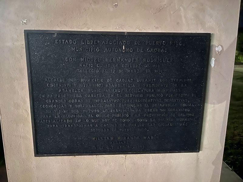
Don Miguel Hernández Rodriguez
Nacio el 15 de octubre de 1911
Falleció el 19 de marzo de 1991
— Estado Libre Asociado de Puerto Rico, Municipio Autónomo de Caguas —
Alcalde del Municipio de Caguas durante dos Términos (1969-1972 y 1977-1980), asambleísta y presidente de la Asamblea Municipal (hoy Legislatura Municipal) en su fructífera carrera en el servicio público fue gestor de grandes obras de infraestructura, recreativas, deportivas, económicas y culturales, para estimular el desarrollo social. Su vision del futuro lo inspiró para crear un organismo para la seguridad. El orden público y la prevención de delitos materializado en lo que hoy se conoce como la policía municipal para transformar a Caguas en una de las ciudades más seguras de Puerto Rico.
Mayor of the Municipality of Caguas for two terms (1969-1972 and 1977-1980), Member and President of the Municipal Assembly (now Municipal Legislature). In his fruitful career in public service he was the Head of the Infrastructure, Recreation, Sports, Economic, and Cultural Committees to stimulate social development. His vision of the future inspired him to create an agency for security. He focused on law and order with what is now known the municipal police to make Caguas one of the safest cities in Puerto Rico.
Erected 2008 by Municipio Autónomo de Caguas, Hon. William Miranda Marín, Alcalde.
Topics. This historical marker is listed in these topic lists: Government & Politics • Law Enforcement.
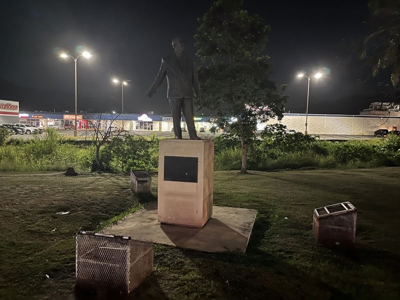
Location. 18° 15.319′ N, 66° 2.191′ W. Marker is in Caguas in Municipio de Caguas, Puerto Rico. It is in Bairoa. Marker is on State Highway 1, 0.3 kilometers south of State Highway 796, on the right when traveling south. Touch for map. Marker is in this post office area: Caguas PR 00725, United States of America. Touch for directions.
Other nearby markers. At least 8 other markers are within 8 kilometers of this marker, measured as the crow flies. Casa Amarilla (approx. 2.2 kilometers away); Don Luis Muñoz Rivera (approx. 2.2 kilometers away); Casa Alcaldia (approx. 2.3 kilometers away); Carlos Manuel "Charlie" Rodríguez Santiago (approx. 2.3 kilometers away); Edificio Rafaela Conde viuda de Mirabal (approx. 2.3 kilometers away); Lcdo. Ángel Viera Martínez (approx. 6.8 kilometers away); Luis A. Ferré Aguayo (approx. 6.8 kilometers away); Luis del Carmen Echevarria Delgado (approx. 6.8 kilometers away). Touch for a list and map of all markers in Caguas.
Credits. This page was last revised on June 14, 2023. It was originally submitted on June 8, 2023, by Devry Becker Jones of Washington, District of Columbia. This page has been viewed 148 times since then and 52 times this year. Photos: 1, 2. submitted on June 8, 2023, by Devry Becker Jones of Washington, District of Columbia.
Editor’s want-list for this marker. Clear, daylight photos of the marker and its context. • Can you help?

