Groningen, Netherlands — Northwestern Europe
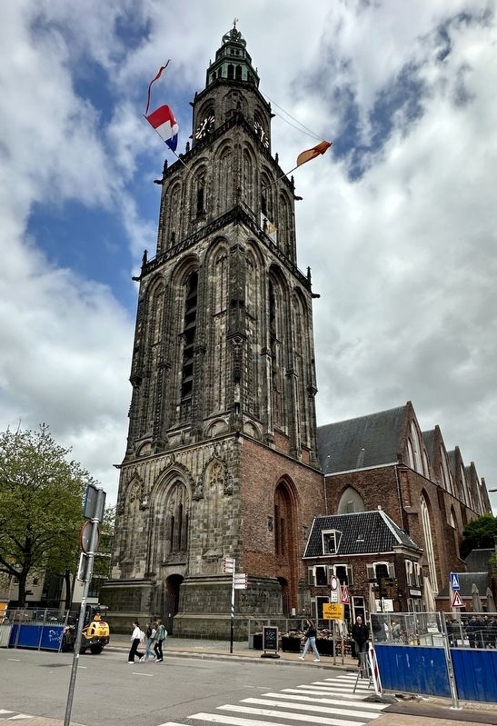
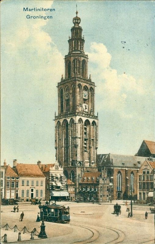
Martinitoren / St. Martin Tower
— Stadsmonumenten —
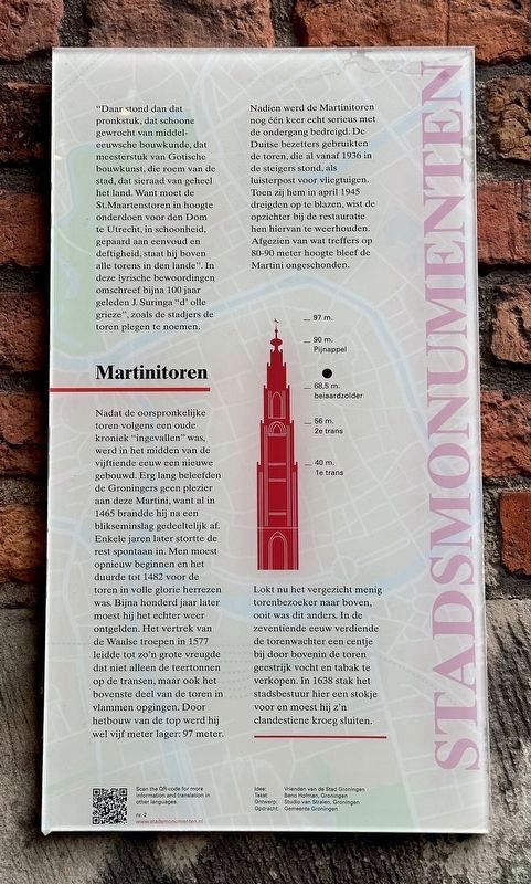
Nadat de oorspronkelijke toren volgens een oude kroniek “ingevallen” was, werd in het midden van de vijftiende eeuw een nieuwe gebouwd. Erg lang beleefden de Groningers geen plezier aan deze Martini, want al in 1465 brandde hij na een blikseminslag gedeeltelijk af. Enkele jaren later stortte de rest spontaan in. Men moest opnieuw beginnen en het duurde tot 1482 voor de toren in volle glorie herrezen was. Bijna honderd jaar later moest hij het echter weer ontgelden. Het vertrek van de Waalse troepen in 1577 leidde tot zo’n grote vreugde dat niet alleen de teertonnen op de transen, maar ook het bovenste deel van de toren in vlammen opging. Door herbouw van de top werd hij wel vijf meter lager: 97 meter.
Nadien werd de Martinitoren nog één keer echt serieus met de ondergang bedreigd. De Duitse bezetters gebruikten de toren, die al vanaf 1936 in de steigers stond, als luisterpost voor vliegtuigen. Toen zij hem in april 1945 dreigden op te blazen, wist de opzichter bij de restauratie hen hiervan te weerhouden. Afgezien van wat treffers op 80-90 meter hoogte bleef de Martini ongeschonden. Lokt nu het vergezicht menig torenbezoeker naar boven, ooit was dit anders. In de zeventiende eeuw verdiende de torenwachter een centje bij door bovenin de toren geestrijk vocht en tabak te verkopen. In 1638 stak het stadsbestuur hier een stokje voor en moest hij z’n clandestiene kroeg sluiten.
‘And there it was, that showpiece, wrought by medieval engineering, a masterpiece of gothic architecture, the fame of the city, that piece of jewelry of the whole country. Because the St. Martin Tower in height inferior to den Dom in Utrecht, in beauty, coupled with simplicity and gentility, it above all towers in the land’. Almost 100 years ago, J. Surginga ‘d’ olle grieze’ described the tower in these lyrical terms, which was called like that by the citizens.
According to an old chronicle, the original tower was ‘sunken’ and therefore a new
tower was built in the middle of the 15th century. The people of Groningen couldn’t enjoy the Martini for a long time, as a part of the tower burned down after it was struck by lightning in 1465. In the following years, the rest of the building also plunged spontaneously. It took until 1482 for the tower to be completely resurrected in full glory. Almost one hundred years later, the tower had to suffer again. After the departure of the Walloon troops in 1577, both the tar barrels on the turrets and the upper part of the tower went up in flames. When reconstructing the top of the tower, the tower lost 5 meters of height; leaving it to be 97 meters.
Later once more, the Martini Tower was really seriously threatened with destruction. German occupiers used the tower, which had been under construction since 1936, as a listening post for aircrafts. When the Germans threatened to blow up the martini tower in April 1945, the superintendent of the restoration managed to withhold them from doing so. Apart from some hits on 80-90 meters’ height, the martini tower remained intact. Now climbing the tower lures many visitors, however this used to be different. In the seventeenth century, the tower keeper earned extra cash by selling spirit rich moisture and tobacco to visitors of the tower. In 1638 the city council put a stop to it and forced him to close his clandestine pub.
Erected by Gemeente Groningen. (Marker Number 002.)
Topics and series. This historical marker is listed in this topic list: Notable Buildings. In addition, it is included in the Groningen Stadsmonumenten series list. A significant historical month for this entry is April 1945.
Location. 53° 13.16′ N, 6° 34.098′ E. Marker is in Groningen. Marker is on Martinikerkhof, on the right when traveling north. Touch for map. Marker is at or near this postal address: Martinikerkhof 3, Groningen 9712 JG, Netherlands. Touch for directions.
Other nearby markers. At least 8 other markers are within walking distance of this marker. Martinikerk / St. Martin Church (a few steps from this marker); Feithhuis (within shouting distance of this marker); Provinciehuis / Provincial House (about 90 meters away, measured in a direct line); De Drie Gezusters / The Three Sisters (about 120 meters away); De bevrijding van Groningen / The Liberation of Groningen Memorial (about 120 meters away); Groningen Municipal Council Members Memorial (about 120 meters away); St. Walburgstraat 1 (about 150 meters away); Goudkantoor (about 150 meters away). Touch for a list and map of all markers in Groningen.
Credits. This page was last revised on December 31, 2023. It was originally submitted on June 9, 2023, by Andrew Ruppenstein of Lamorinda, California. This page has been viewed 46 times since then and 8 times this year. Photos: 1, 2, 3, 4. submitted on June 9, 2023, by Andrew Ruppenstein of Lamorinda, California.


