Middletown Township near Highlands in Monmouth County, New Jersey — The American Northeast (Mid-Atlantic)
British Embarkation
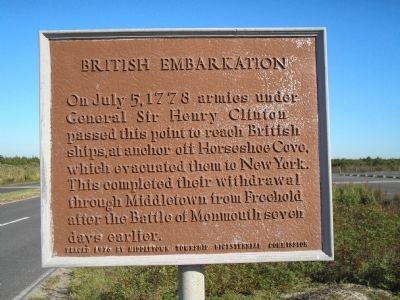
Photographed by Bill Coughlin, September 20, 2009
1. British Embarkation Marker
Erected 1976 by Middletown Township Bicentennial Commission.
Topics. This historical marker is listed in this topic list: War, US Revolutionary. A significant historical month for this entry is July 1851.
Location. 40° 24.42′ N, 73° 58.712′ W. Marker is near Highlands, New Jersey, in Monmouth County. It is in Middletown Township. It is on S Hartshorne Drive, on the right when traveling north. Marker is located in the Sandy Hook Unit of Gateway National Recreation Area. Touch for map. Marker is in this post office area: Highlands NJ 07732, United States of America. Touch for directions.

Regionally, this marker is in Central Jersey, specifically on the Jersey Shore, and in the New York City Metropolitan Area. It is also in the American Northeast, in the Mid-Atlantic, and on the Eastern Seaboard. Globally, it is in the North Atlantic Region, North
this page online
Other nearby markers. At least 8 other markers are within walking distance of this marker: Sandy Hook (within shouting distance of this marker); Welcome to Gateway National Recreation Area (approx. 0.6 miles away); a different marker also named Sandy Hook (approx. 0.7 miles away); Highlands Doughboy World War I Monument (approx. ¾ mile away); Telegraph and Radar at Twin Lights (approx. 0.8 miles away); From the Navesink Highlands (approx. 0.8 miles away); The Old North Tower (approx. 0.8 miles away); Marconi at Twin Lights (approx. 0.8 miles away). Touch for a list and map of all markers in Highlands.
Also see . . .
1. The Battle of Monmouth. New Jersey during the Revolution. (Submitted on September 23, 2009, by Bill Coughlin of Woodland Park, New Jersey.)
2. The Battle of Monmouth, 1778. A British perspective of the Battle of Monmouth from BritishBattles.com. (Submitted on September 23, 2009, by Bill Coughlin of Woodland Park, New Jersey.)
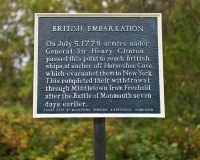
Photographed by R. C., September 5, 2011
2. British Embarkation Marker
The marker's finish was restored in 2011.
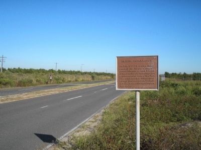
Photographed by Bill Coughlin, September 20, 2009
3. Marker at Sandy Hook
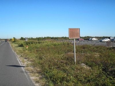
Photographed by Bill Coughlin, September 20, 2009
4. British Embarkation Marker
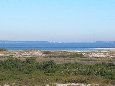
Photographed by Bill Coughlin, September 20, 2009
5. New York City as seen from Sandy Hook
British ships anchored in this vicinity transported the British troops to occupied New York City, seen in the background. The Verrazano – Narrows Bridge can be seen in this photo, taken several miles north of the marker.
Credits. This page was last revised on February 7, 2023. It was originally submitted on September 20, 2009, by Bill Coughlin of Woodland Park, New Jersey. This page has been viewed 1,133 times since then and 47 times this year. Photos: 1. submitted on September 20, 2009, by Bill Coughlin of Woodland Park, New Jersey. 2. submitted on September 6, 2011, by Ronald Claiborne of College Station, Texas. 3, 4, 5. submitted on September 20, 2009, by Bill Coughlin of Woodland Park, New Jersey.
