
Dandridge in Jefferson County, Tennessee — The American South (East South Central)
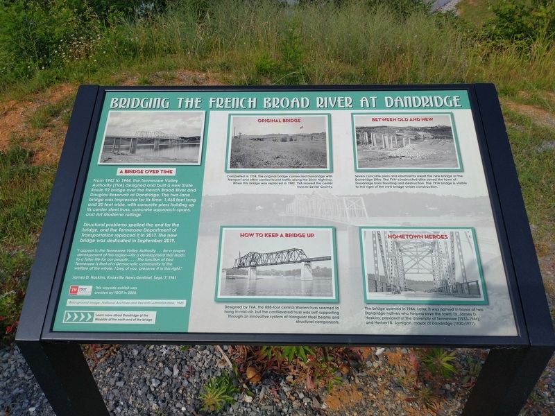
Bridging the French Broad River at Dandridge
Photographed by Tom Bosse, June 11, 2023
1. Bridging the French Broad River at Dandridge Marker
Structural problems spelled the end of the bridge, and the Tennessee Department of Transportation replaced it in 2017. The new bridge was dedicated in September 2019.
“I appeal to the Tennessee Valley Authority…for a proper development of this region – for a development that leads to a fuller life for our people…The function of East Tennessee is that of a Democratic community to the welfare of the whole. I beg of you, preserve it in this right.” James D. Hoskins, Knoxville News-Sentinel, Sept. 7, 1941
Captions
Background Image: National Archives and Records Administration, 1945
Erected 2020
this page online
Topics. This historical marker is listed in this topic list: Bridges & Viaducts. A significant historical month for this entry is September 2019.
Location. 36° 0.614′ N, 83° 24.689′ W. Marker is in Dandridge, Tennessee, in Jefferson County. It is at the intersection of Chestnut Hill Road (Tennessee Route 92) and Public Drive, on the right when traveling north on Chestnut Hill Road. Touch for map. Marker is in this post office area: Dandridge TN 37725, United States of America. Touch for directions.

Regionally, this marker is in East Tennessee. It is also in the American South, specifically in the Upper South, in Appalachia, and specifically in Southern Appalachia. Globally, it is in North America, the Western Hemisphere, the Western World, and the Anglosphere. Historically, it finds itself in what was once the original Cherokee Nation, the territory of the Mississippian Culture, one of the Confederate States of America, the State of Franklin, and the Antebellum South.
Other nearby markers. At least 8 other markers are within walking distance of this marker: Dandridge and the TVA: “Good News Came to Dandridge”
Photographed by Tom Bosse, June 11, 2023
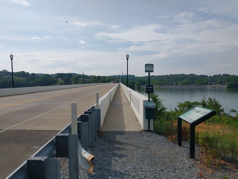
2. Bridging the French Broad River at Dandridge Marker
Related markers. Click here for a list of markers that are related to this marker.
Photographed by Tom Bosse, June 11, 2023
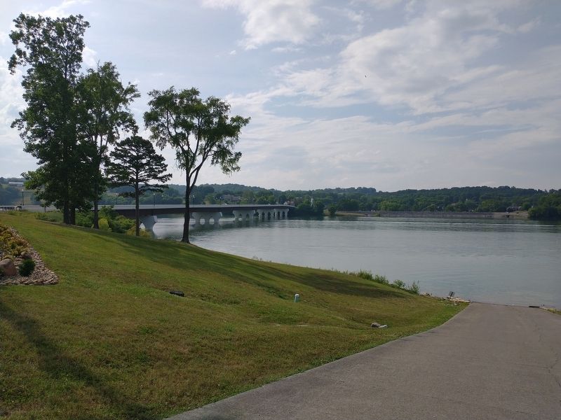
3. Bridge over the French Broad River at Dandridge, TN
Photographed by Tom Bosse, June 11, 2023
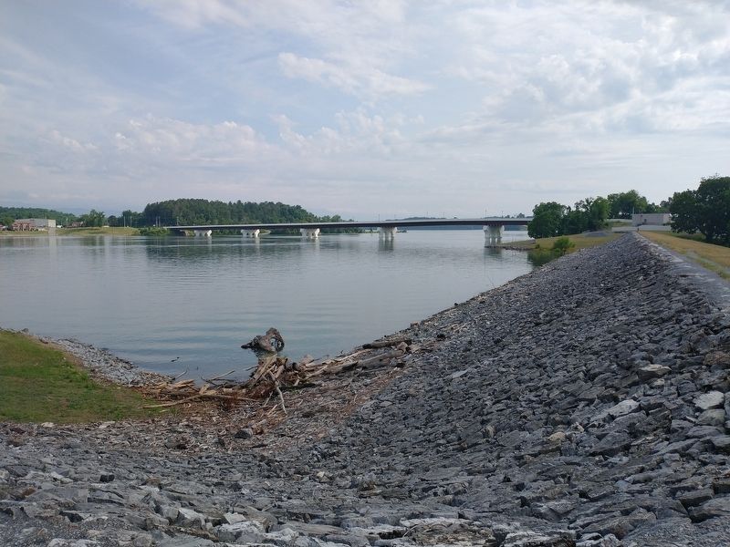
4. Bridge over the French Broad River at Dandridge, TN
Credits. This page was last revised on June 14, 2023. It was originally submitted on June 12, 2023, by Tom Bosse of Jefferson City, Tennessee. This page has been viewed 866 times since then and 153 times this year. Photos: 1, 2, 3, 4. submitted on June 12, 2023, by Tom Bosse of Jefferson City, Tennessee. • James Hulse was the editor who published this page.
