Near Grafton in Taylor County, West Virginia — The American South (Appalachia)
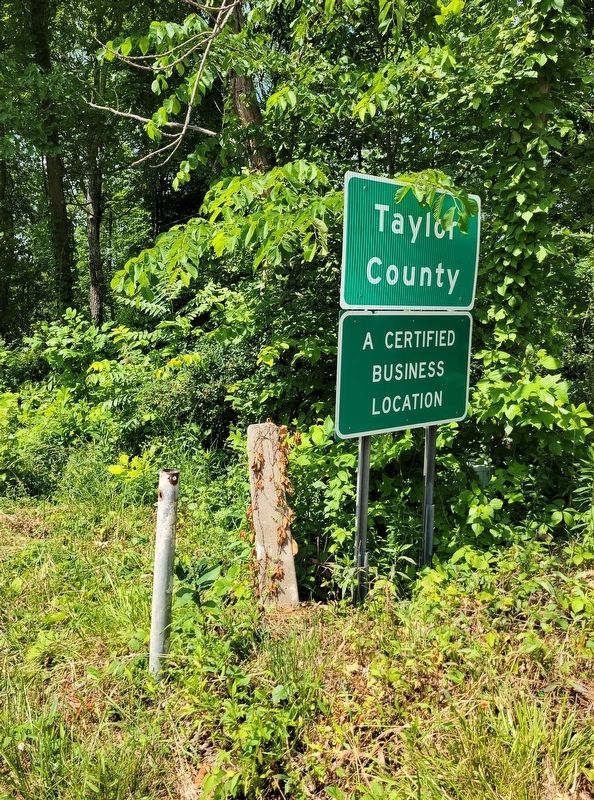
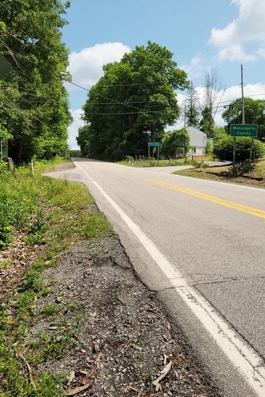
Monongalia County / Taylor County
Inscription.
Monongalia County. Formed, 1776, from District of West Augusta. All or parts of 21 other counties, including three in Pennsylvania, were carved from it. Named for the Monongahela River, bearing an Indian name, which means the "River of Caving Banks".
Taylor County. Formed in 1844 from Marion, Harrison, and Barbour. Named for John Taylor of Virginia. This county was the home of Bailey Brown, the first Union soldier killed in War between the States. He was shot, May 22, 1861, at Fetterman, now Grafton.
Erected by West Virginia Archives and History.
Topics. This historical marker is listed in these topic lists: Political Subdivisions • War, US Civil. A significant historical date for this entry is May 22, 1861.
Location. Marker has been reported missing. It was located near 39° 27.144′ N, 79° 56.341′ W. Marker was near Grafton, West Virginia, in Taylor County. Marker was at the intersection of Victory Avenue (U.S. 119) and Rogers Road (County Route 119/15), on the left when traveling north on Victory Avenue. Touch for map. Marker was at or near this postal address: 10106 Victory Avenue, Grafton WV 26354, United States of America. Touch for directions.
Other nearby markers. At least 8 other markers are within 7 miles of this location, measured as the crow flies. Veterans Buried Here (approx. 1.7 miles away); In Memory of Jonathan Summers and Catherine (approx. 3.8 miles away); Newburg Mine Disaster (approx. 6.4 miles away); Veterans Memorial (approx. 6.4 miles away); World War 2 (approx. 6.6 miles away); Clinton Cabin (approx. 6.9 miles away); Little Log Cabin (approx. 6.9 miles away); Big Log Cabin (approx. 7 miles away).
Credits. This page was last revised on June 15, 2023. It was originally submitted on June 13, 2023, by Bradley Owen of Morgantown, West Virginia. This page has been viewed 54 times since then and 6 times this year. Photos: 1, 2. submitted on June 13, 2023, by Bradley Owen of Morgantown, West Virginia.

