Southam in Hamilton, Ontario — Central Canada (North America)
The Incline Railway
Photographed by Tim Boyd, May 18, 2023
1. The Incline Railway Marker
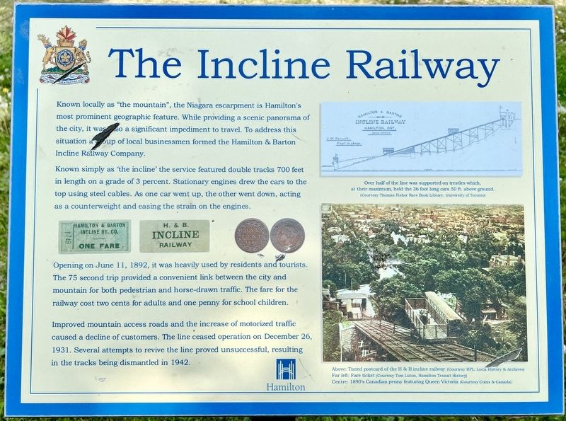
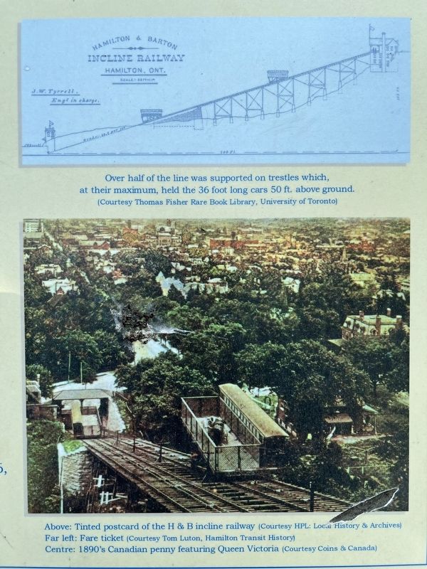
Known locally as "the mountain", the Niagara escarpment is Hamilton's most prominent geographic feature. While providing a scenic panorama of the city, it was also a significant impediment to travel. To address this situation a group of local businessmen formed the Hamilton & Barton Incline Railway Company. Known simply as 'the incline' the service featured double tracks 700 feet in length on a grade of 3 percent. Stationary engines drew the cars to the top using steel cables. As one car went up, the other went down, acting as a counterweight and easing the strain on the engines.
Opening on June 11, 1892, it was heavily used by residents and tourists. The 75 second trip provided a convenient link between the city and mountain for both pedestrian and horse-drawn traffic. The fare for the railway cost two cents for adults and one penny for school children.
Improved mountain access roads and the increase of motorized traffic caused a decline of customers. The line ceased operation on December 26, 1931. Several attempts to revive the line proved unsuccessful, resulting in the tracks being dismantled in 1942.
Erected by City
this page online
Topics. This historical marker is listed in these topic lists: Man-Made Features • Railroads & Streetcars. A significant historical year for this entry is 1892.
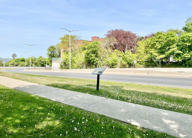
Location. 43° 14.649′ N, 79° 52.52′ W. Marker is in Hamilton, Ontario. It is in Southam. It is on Clairmont Access 0.1 kilometers north of Inverness Avenue West, on the right when traveling south. The marker is in Southam Park. Touch for map. Marker is in this post office area: Hamilton ON L9C L9C, Canada. Touch for directions.

Regionally, this marker is on the Golden Horseshoe, in the Hamilton-Halton-Brant Area, and specifically in the Toronto Metropolitan Area. It is also in Central Canada. Globally, it is in North America, on the Great Lakes, in the Western Hemisphere, in the Western World, and in the Anglosphere. Historically, it finds itself in what was once a British colony, the Viceroyalty of New France, the Haudenosaunee (Iroquois) Confederacy, and Rupert’s Land.
Other nearby markers. At least 8 other markers are within walking distance of this marker: Mountain View Hotel (within shouting distance of this marker); “Claremont Lodge” and “Auchmar”, 1855
Photographed by Tim Boyd, May 18, 2023
2. The Incline Railway Marker
Also see . . . Trainweb.org - The Hamilton and Barton Incline Railway (James Street Incline).
The first inclined railway in Hamilton was the Hamilton and Barton Incline Railway (HBIR), connecting the City of Hamilton at a point next to the top of James Street south with the township of Barton at Caledonia Rd (now Upper James St). The HBIR was originally referred to by Hamiltonians as simply 'The Incline.' When the Mount Hamilton Incline Railway was opened in 1895, the HBIR's common name was changed to 'The James Street Incline.'(Submitted on June 13, 2023, by Tim Boyd of Hamilton, Ontario.)
Photographed by Tim Boyd, May 28, 2023
3. The Incline Railway Marker detail
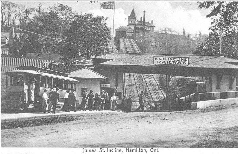
4. Postcard of the H&B Incline Railway ca1920s.
Looking up to the Mountain View Hotel
Credits. This page was last revised on June 13, 2023. It was originally submitted on June 13, 2023, by Tim Boyd of Hamilton, Ontario. This page has been viewed 461 times since then and 65 times this year. Photos: 1, 2, 3, 4. submitted on June 13, 2023, by Tim Boyd of Hamilton, Ontario. • Andrew Ruppenstein was the editor who published this page.
