Cabo Rojo in Municipio de Cabo Rojo, Puerto Rico — The Caribbean (The West Indies)
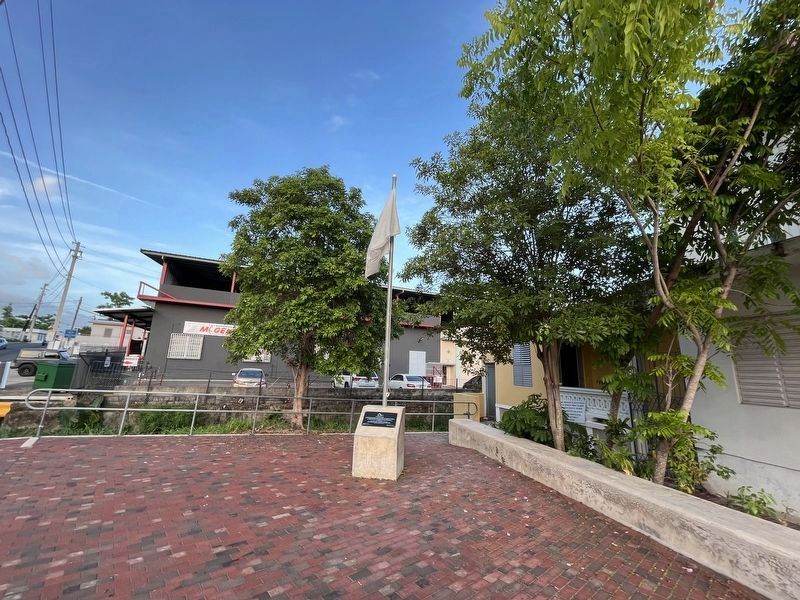
Plaza de la Paz
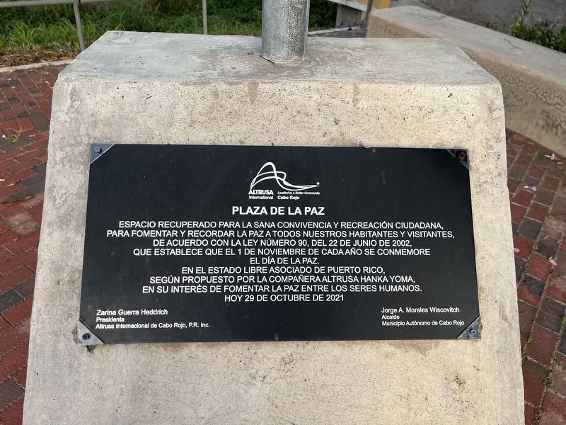
[Peace Plaza]
Espacio recurperado para la sana convivencia y recreación ciudadana, para formentar y recordar la paz a todos nuestros habitantes y isitantes, de acuerdo con la ley número 90, del 22 de junio de 2002, que establece que el 1 de noviemre de cada año se conmemore el Día de la Paz. En el Estado Libre Asociado de Puerto Rico, según propuesto por la compañera altursa hanka yoma, en su interés de fomentar la paz entre los seres humanos.
This space is dedicated to health and safe recreation and peace to all our inhabitants and visitors, in accordance with Law #90, of June 22, 2002, which establishes that November 1 each year as the Day of Peace. In the Free Associated State of Puerto Rico, as proposed by the Altursa Hanka Yoma, in her interest to promote peace among human beings.
Erected 2021 by Altrusa Internacional de Cabo Rojo, P.R., Inc.; Municipio Autónomo de Cabo Rojo, Jorge A. Morales Wiscovitch, Alcalde.
Topics. This historical marker is listed in these topic lists: Parks & Recreational Areas • Peace. A significant historical date for this entry is June 22, 2002.
Location. 18° 5.283′ N, 67° 8.674′ W. Marker is in Cabo Rojo in Municipio de Cabo Rojo, Puerto Rico. Marker is at the intersection of Puerto Rico Route 102/103 and Calle Salvador Mae, on the right when traveling east on State Route 102/103. Touch for map. Marker is at or near this postal address: Ruta 6, Cabo Rojo PR 00623, United States of America. Touch for directions.
Other nearby markers. At least 8 other markers are within walking distance of this marker. Dr. Ramon Emeterio Betances (about 600 feet away, measured in a direct line); Árbol de la Libertad (about 700 feet away); Monumento a la Guerra de España Contra el Fascismo (about 700 feet away); Cabo Rojo (about 700 feet away); Don Salvador Brau Asencio (approx. 0.2 kilometers away); Don Salvador Brau y Ascenio (approx. 0.2 kilometers away); En Memoria de Todos los Veteranos de la Guerra de Korea (approx. 1.4 kilometers away); En Memoria de Todos los Veteranos de la II Guerra Mundial (approx. 1.4 kilometers away). Touch for a list and map of all markers in Cabo Rojo.
Credits. This page was last revised on April 6, 2024. It was originally submitted on June 13, 2023, by Devry Becker Jones of Washington, District of Columbia. This page has been viewed 42 times since then and 7 times this year. Photos: 1, 2. submitted on June 13, 2023, by Devry Becker Jones of Washington, District of Columbia.

