Rubicon Township in Port Hope in Huron County, Michigan — The American Midwest (Great Lakes)
Port Hope Time Capsule
Photographed by J.T. Lambrou, June 12, 2023
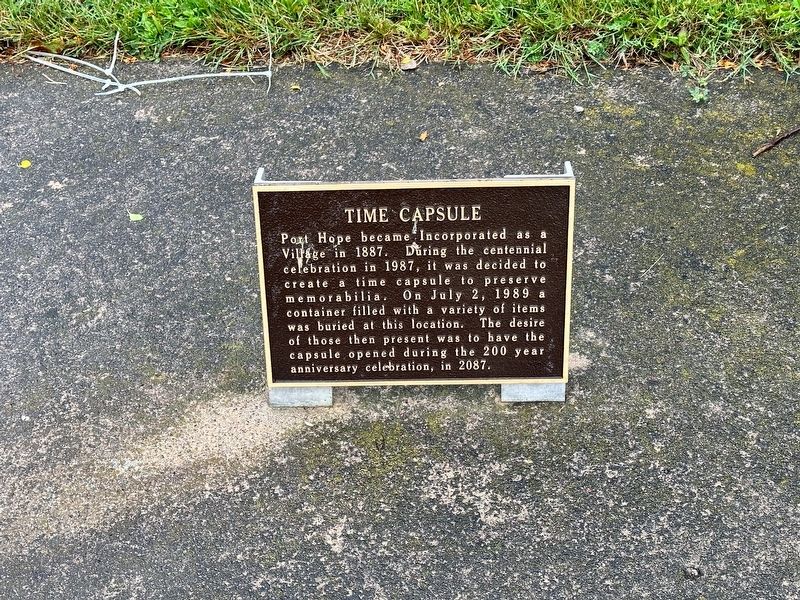
1. Port Hope Time Capsule Marker
Port Hope became incorporated as a village in 1887. During the centennial celebration in 1987, it was decided to create a time capsule to preserve memorabilia. On July 2, 1989 a container filled with a variety of items was buried at this location. The desire of those then present was to have the capsule opened during the 200 year anniversary celebration, in 2087.
Topics and series. This historical marker is listed in this topic list: Settlements & Settlers. In addition, it is included in the Time Capsules series list. A significant historical year for this entry is 1887.
Location. 43° 56.603′ N, 82° 42.543′ W. Marker is in Port Hope, Michigan, in Huron County. It is in Rubicon Township. It is on State Road near West Huron Street, on the right when traveling east. Touch for map. Marker is at or near this postal address: 4451 West Huron Street, Port Hope MI 48468, United States of America. Touch for directions.

Regionally, this marker is on Michigan’s Thumb and in one of the Lake Huron Shore counties. It is also in the American Midwest. Globally, it is in North America, on the Great Lakes, in the Western Hemisphere,
this page online
Other nearby markers. At least 8 other markers are within 7 miles of this marker, measured as the crow flies: E Cook Anchor (here, next to this marker); Old School House Bell Tower Roof (a few steps from this marker); Port Hope Chimney (within shouting distance of this marker); 1903 - The Rail Comes to Port Hope (about 700 feet away, measured in a direct line); Rubicon Township Hall (approx. ¼ mile away); St. John's Lutheran Church (approx. half a mile away); AMVETS Post 115 (approx. 1.3 miles away); George "Randy" Raison Covered Bridge (approx. 6½ miles away). Touch for a list and map of all markers in Port Hope.
Photographed by J.T. Lambrou, June 12, 2023
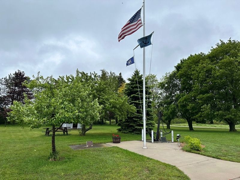
2. Port Hope Time Capsule Marker
The marker is located to the left of the flags at ground level.
Photographed by J.T. Lambrou, June 12, 2023
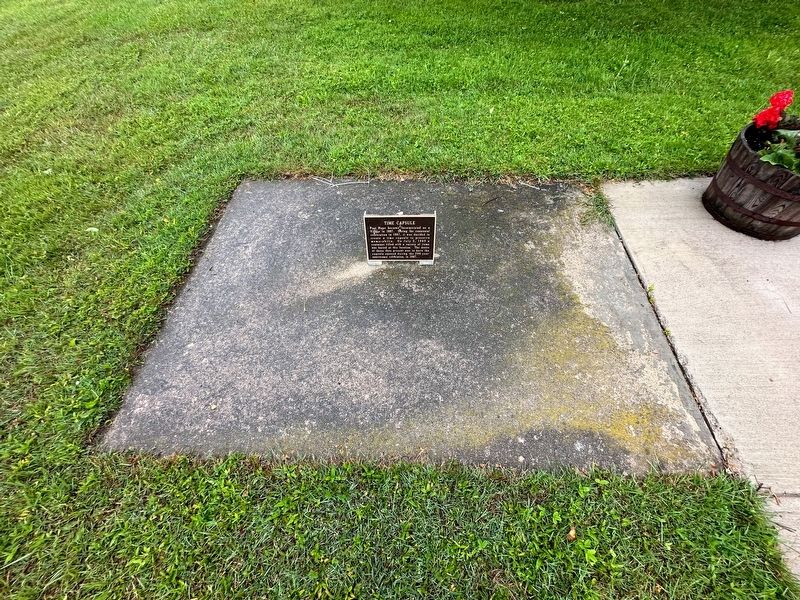
3. Port Hope Time Capsule
Credits. This page was last revised on June 16, 2023. It was originally submitted on June 14, 2023, by J.T. Lambrou of New Boston, Michigan. This page has been viewed 297 times since then and 34 times this year. Photos: 1, 2, 3. submitted on June 14, 2023, by J.T. Lambrou of New Boston, Michigan. • J. Makali Bruton was the editor who published this page.
