Puerta de Tierra in San Juan in Municipio de San Juan, Puerto Rico — The Caribbean (The West Indies)
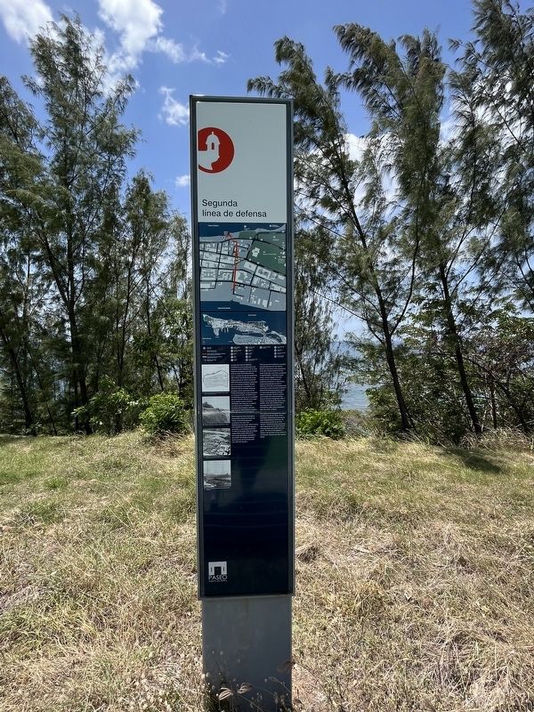
Segunda línea de defensa
[Second Line of Defense]
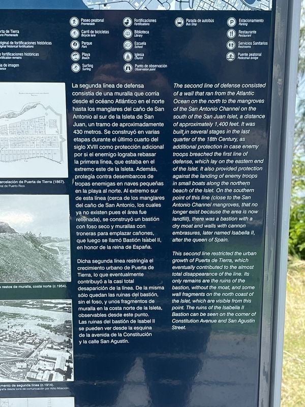
La segunda línea de defensa consistía de una muralla que corría desde el océano Atlántico en el norte hasta los manglares del caño de San Antonio al sur de la Isleta de San Juan, un tramo de aproximadamente 430 metros. Se construyó en varias etapas durante el último cuarto del siglo XVIII como protección adicional por si el enemigo lograba rebasar la primera línea, euq estaba en el extremo este de la Isleta. Además, protegía contra desembarcos de tropas enemigas en naves pequeñas en la playa al norte. Al extremo sur de esta línea (cerca de los manglares del caño de San Antonio, los cuales ya no existen pues el área fue rellenada), se construyó un bastión con foso seco y murallas con troneras para emplazar cañones, que luego se llamó Bastión Isábel II, en honor de la reina de España.
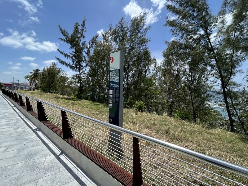
Dicha segunda línea restringía el crecimiento urbano de Puerta de Tierra, lo que eventualmente contribuyó a la casi total desapraición de la línea. De la misma sólo quedan las ruinas del bastión, sin el foso, y unos fragmentos de muralla en la costa norte de la Isleta, observables desde este punto. Las ruinas del bastión de Isabel II se pueden ver dede la equina de la avenida de la Constitución y la calle San Agustín.
This second line restricted the urban growth of Puerta de Tierra, which eventually contributed to the almost disappearance of the line. Its only remains are the ruins of the bastion, without the moat, and some wall fragments on the north coast of the Islet, which are visible from this point. The ruins of the Isabella II Bastion can be seen on the corner of Constitution Avenue and San Agustín Street.
Erected by Paseo Puerta de Tierra.
Topics. This historical marker is listed in these topic lists: Colonial Era • Forts and Castles.
Location. 18° 27.956′ N, 66° 5.691′ W. Marker is in San Juan in Municipio de San Juan, Puerto Rico. It is in Puerta de Tierra. Marker is at the intersection of Avenida Luis Muñoz Rivera and Calle Lugo Vitías, on the right when traveling west on Avenida Luis Muñoz Rivera. Touch for map. Marker is at or near this postal address: Avenida Luis Muñoz Rivera 402, San Juan PR 00918, United States of America. Touch for directions.
Other nearby markers. At least 8 other markers are within walking distance of this marker. Tercera Línea de Defensa: Trincheras (a few steps from this marker); Palma real (about 800 feet away, measured in a direct line); Emajagüilla (approx. 0.3 kilometers away); Polvorín de San Jerónimo (approx. half a kilometer away); Memorial de Pulse (Pulse Memorial) (approx. 0.6 kilometers away); First Line of Defense (approx. 1.1 kilometers away); Ataques a la Isleta (approx. 1.1 kilometers away); Barack H. Obama (approx. 1.1 kilometers away). Touch for a list and map of all markers in San Juan.
Credits. This page was last revised on June 14, 2023. It was originally submitted on June 14, 2023, by Devry Becker Jones of Washington, District of Columbia. This page has been viewed 51 times since then and 6 times this year. Photos: 1, 2, 3. submitted on June 14, 2023, by Devry Becker Jones of Washington, District of Columbia.


