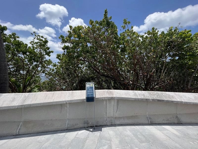
Puerta de Tierra in San Juan in Municipio de San Juan, Puerto Rico — The Caribbean (The West Indies)
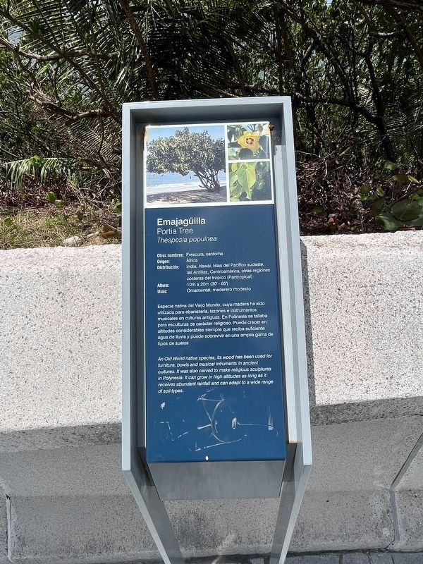
Emajagüilla
Portia Tree
— Thespesia populnea —
Otros nombres: Frescura, santoma
Origen: África
Distribución: India, Hawái, Islas del Pacífico sudeste, las Antillas, Centroamérica, otras regiones costeras del trópico (Pantropical)
Altura: 10m a 20m (30' - 65')
Usos: Ornamental, maderero modesto
Especie nativa del Viejo Mundo, cuya madera ha sido utilizada para ebanistería, tazones e instmentos musicales en culturaas antiguas. El Polinesia se tallaba para esculturas de carácter religioso. Puede crecer en altitudes considerables simpre que reciba suficiente agua de lluvia y puede sobrevivir en una amplia gama de tipos de suelos.
Erected by Paseo Puerto de Tierra.
Topics. This historical marker is listed in these topic lists: Anthropology & Archaeology • Churches & Religion • Horticulture & Forestry.
Location. 18° 27.948′ N, 66° 5.867′ W. Marker is in San Juan in Municipio de San Juan, Puerto Rico. It is in Puerta de Tierra. Marker is at the intersection of Avenue Muñoz Rivera (Puerto Rico Route 25R) and Calle Tadeo Rivera, on the right when traveling west on Avenue Muñoz Rivera. Touch for map. Marker is at or near this postal address: Avenue Muñoz Rivera 301, San Juan PR 00901, United States of America. Touch for directions.
Other nearby markers. At least 8 other markers are within walking distance of this marker. Tercera Línea de Defensa: Trincheras (approx. 0.3 kilometers away); Segunda línea de defensa (approx. 0.3 kilometers away); Palma real (approx. half a kilometer away); Barack H. Obama (approx. 0.8 kilometers away); Gerald R. Ford (approx. 0.8 kilometers away); Lyndon B. Johnson (approx. 0.8 kilometers away); Polvorín de San Jerónimo (approx. 0.8 kilometers away); John F. Kennedy (approx. 0.8 kilometers away). Touch for a list and map of all markers in San Juan.
Credits. This page was last revised on November 30, 2023. It was originally submitted on June 14, 2023, by Devry Becker Jones of Washington, District of Columbia. This page has been viewed 52 times since then and 15 times this year. Photos: 1, 2. submitted on June 14, 2023, by Devry Becker Jones of Washington, District of Columbia.

