South Bend Township near Mankato in Blue Earth County, Minnesota — The American Midwest (Upper Plains)
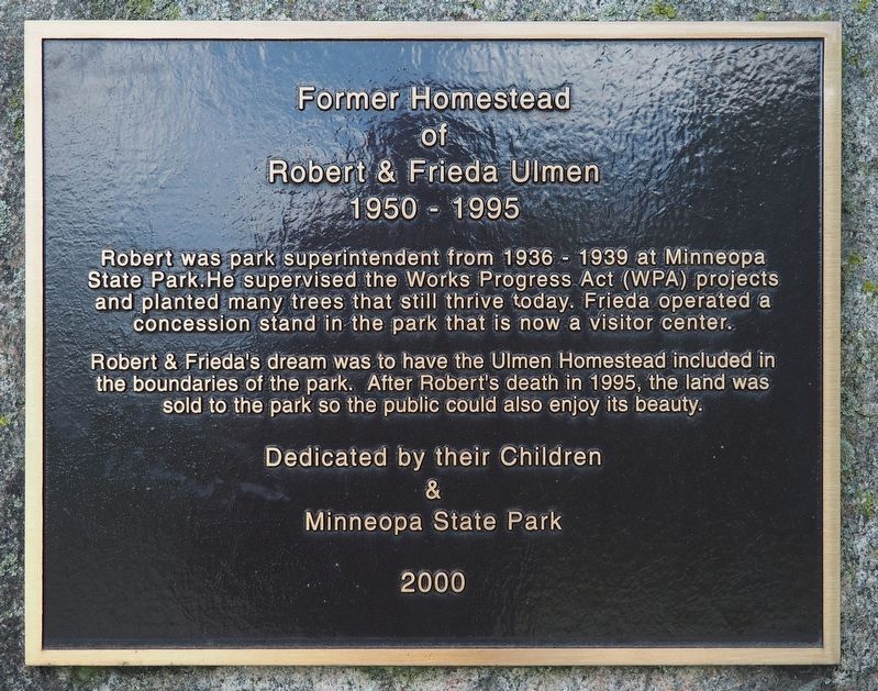
Former Homestead of Robert & Frieda Ulmen
1950 - 1995
Robert & Frieda's dream was to have the Ulmen Homestead included in the boundaries of the park. After Robert's death in 1995, the land was sold to the park so the public could also enjoy its beauty.
Erected 2000 by Their children and Minneopa State Park.
Topics. This historical marker is listed in this topic list: Parks & Recreational Areas. A significant historical year for this entry is 1936.
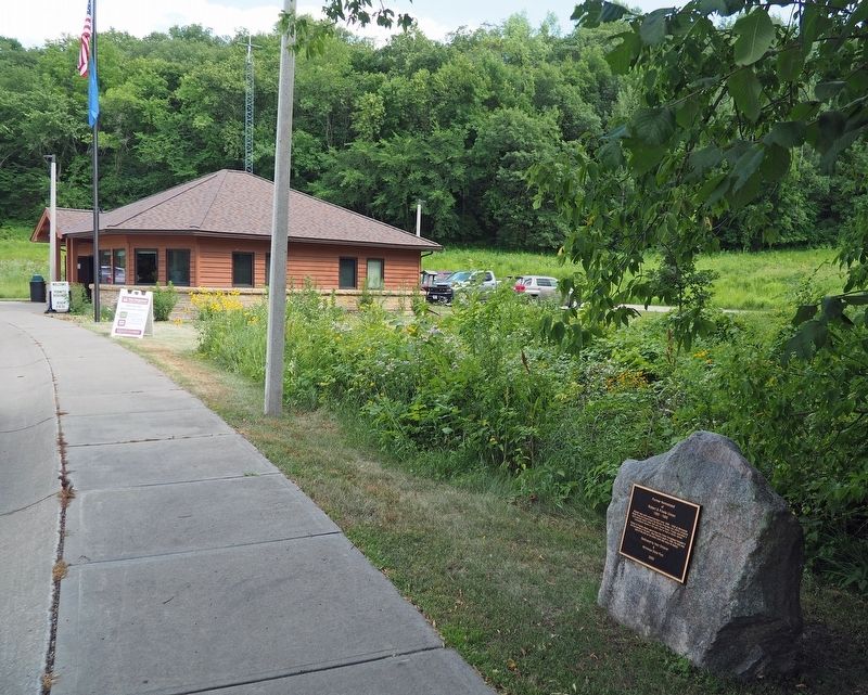
Location. 44° 8.872′ N, 94° 5.736′ W. Marker is near Mankato, Minnesota, in Blue Earth County. It is in South Bend Township. Marker is on Minneopa State Park south entrance road south of Gadwall Road (County Route 69), on the right when traveling east. The marker is in Minneopa State Park a short distance before the park office at the Waterfalls Area entrance. Touch for map. Marker is at or near this postal address: 54497 Gadwall Road, Mankato MN 56001, United States of America. Touch for directions.
Other nearby markers. At least 8 other markers are within 4 miles of this marker, measured as the crow flies. George M. Palmer (approx. 0.2 miles away); Minnesota State Parks (approx. 0.2 miles away); The Turning Point (approx. 1.4 miles away); Granary (approx. 1.4 miles away); Seppman Mill (approx. 1.4 miles away); The First Mahkato Memorial Wacipi (approx. 2.9 miles away); Ott Cabin (approx. 3.1 miles away); Geology of Minnesota (approx. 3.1 miles away). Touch for a list and map of all markers in Mankato.
Credits. This page was last revised on June 17, 2023. It was originally submitted on June 16, 2023, by McGhiever of Minneapolis, Minnesota. This page has been viewed 68 times since then and 12 times this year. Photos: 1, 2. submitted on June 16, 2023, by McGhiever of Minneapolis, Minnesota. • J. Makali Bruton was the editor who published this page.

