Stuart in Martin County, Florida — The American South (South Atlantic)
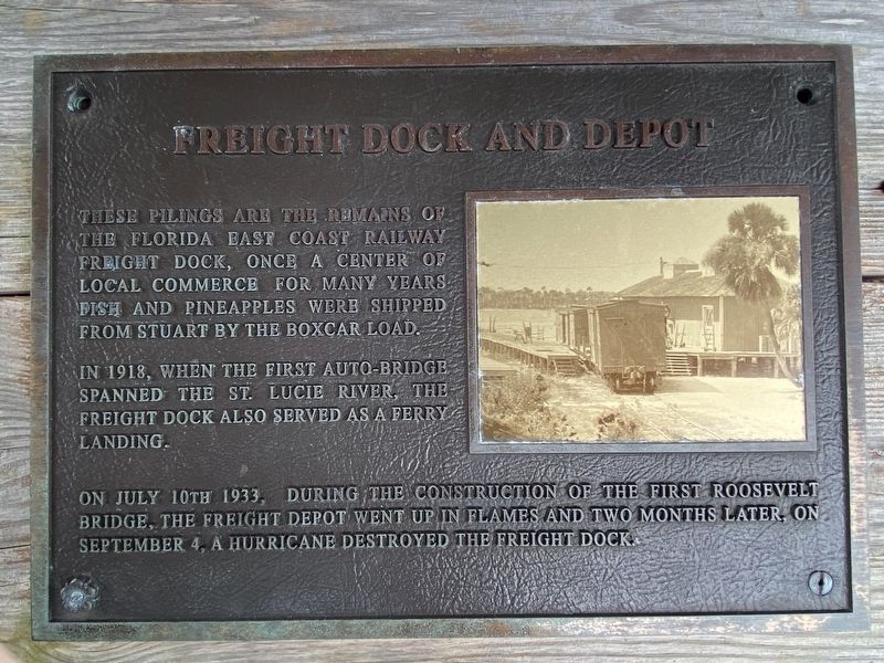
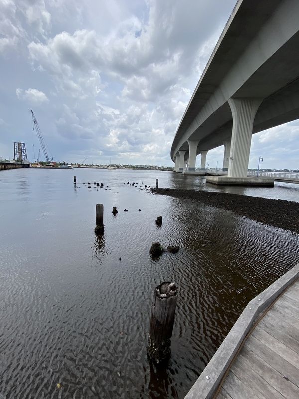
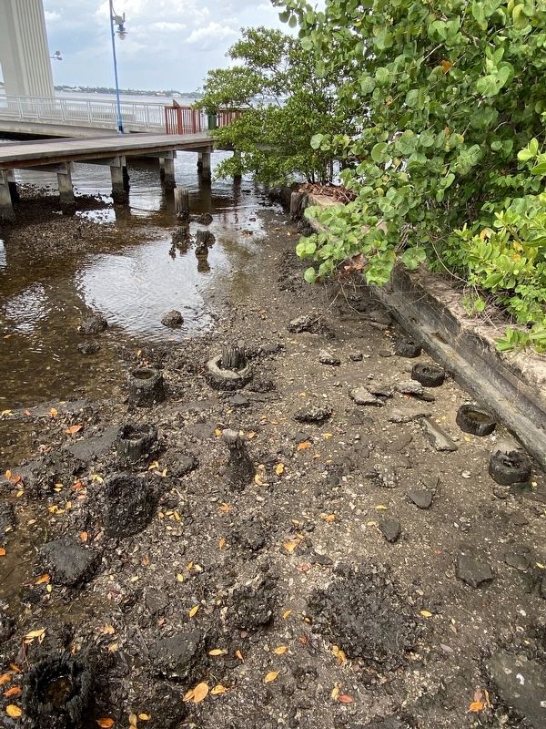
Freight Dock and Depot
In 1918, when the first auto-bridge spanned the St. Lucie River, the freight dock also served as a ferry landing.
On July 10th, 1933, during the construction of the first Roosevelt Bridge, the freight depot went up in flames and two months later, on September 4, a hurricane destroyed the freight dock.
Topics. This historical marker is listed in these topic lists: Bridges & Viaducts • Disasters • Industry & Commerce • Railroads & Streetcars • Waterways & Vessels. A significant historical date for this entry is July 10, 1933.
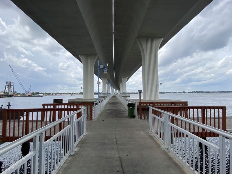
Location. 27° 12.149′ N, 80° 15.491′ W. Marker is in Stuart, Florida, in Martin County. Marker can be reached from NW Dixie Highway north of SW Albany Avenue, on the right when traveling north. Located under the bridge along Boardwalk Run. Touch for map. Marker is at or near this postal address: 625 SW Anchorage Way, Stuart FL 34994, United States of America. Touch for directions.
Other nearby markers. At least 8 other markers are within walking distance of this marker. Veterans Memorial (approx. 0.2 miles away); George W. Parks (approx. 0.2 miles away); Stuart Feed Store (approx. 0.2 miles away); Geo. W. Parks General Merchandise (approx. 0.2 miles away); Parks/Atwood House (approx. 0.2 miles away); "Stuart is burning down!" (approx. ¼ mile away); City of Stuart Water Tower (approx. 0.3 miles away); A Great Place for a Vacation (approx. 0.3 miles away). Touch for a list and map of all markers in Stuart.
Credits. This page was last revised on June 21, 2023. It was originally submitted on June 19, 2023, by Darren Jefferson Clay of Duluth, Georgia. This page has been viewed 90 times since then and 23 times this year. Photos: 1, 2, 3, 4. submitted on June 20, 2023, by Darren Jefferson Clay of Duluth, Georgia. • Bernard Fisher was the editor who published this page.


