Vincennes Township in Knox County, Indiana — The American Midwest (Great Lakes)
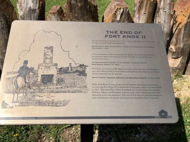
The End of Fort Knox II
You are authorized to remove the garrison [of Fort Knox] to such place near the town as shall be deemed expedient. – Secretary of War William Eustis to Acting Governor John Gibson, December 7, 1812
I have succeeded so far in removing Fort Knox to this place as to have a considerable part of the necessary timber brought down and the men quartered in town. – Acting Governor Gibson, at Vincennes, to Secretary of War Eustis, March 13, 1813
Fort Knox once stood on this bank, two miles above the town, but the site is now only discoverable by excavations, remnants of old chimneys, and hewn timber scattered over the ground. – David Thomas, Travels Through the Western Country, July 6, 1816
Thus, Fort Knox II came to an end. Its timbers were floated downriver to construct Fort Knox III in downtown Vincennes, which was dismantled in 1817. The end of Fort Knox II marked the virtual end of the struggle between Indian and European cultures east of the Mississippi that had lasted for a full two centuries. The site of Fort Knox II became farmland and a destination for picnic excursions by steamboat from Vincennes.
Erected by Vincennes State Historic Sites, Division of State Museum and Historic Sites, Indiana Department of Natural Resources.
Topics. This historical marker is listed in these topic lists: Forts and Castles • Wars, US Indian. A significant historical date for this entry is December 7, 1812.
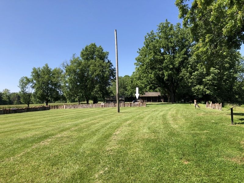
Location. 38° 43.506′ N, 87° 30.364′ W. Marker is near Vincennes, Indiana, in Knox County. It is in Vincennes Township. Marker can be reached from North Old Fort Knox Road, 0.1 miles south of Lower Fort Knox Road, on the left when traveling south. Marker is in Fort Knox II-Vincennes State Historic Site. Touch for map. Marker is at or near this postal address: 3090 N Old Fort Knox Rd, Vincennes IN 47591, United States of America. Touch for directions.
Other nearby markers. At least 8 other markers are within walking distance of this marker. Rally to the Flag (here, next to this marker); Desertion (a few steps from this marker); Tecumseh at Fort Knox II and Vincennes (a few steps from this marker); Death on the Frontier (within shouting distance of this marker); A New Fort is Built (within shouting distance of this marker); Murder (within shouting distance of this marker); Battle of Tippecanoe (within shouting distance of this marker); An Army Wife at Fort Knox II (within shouting distance of this marker). Touch for a list and map of all markers in Vincennes.
Related markers. Click here for a list of markers that are related to this marker.
Credits. This page was last revised on June 20, 2023. It was originally submitted on June 20, 2023, by Duane and Tracy Marsteller of Murfreesboro, Tennessee. This page has been viewed 69 times since then and 15 times this year. Photos: 1, 2. submitted on June 20, 2023, by Duane and Tracy Marsteller of Murfreesboro, Tennessee.

