Near Altadena in Los Angeles County, California — The American West (Pacific Coastal)
Robert Owens
El Prieto Canyon
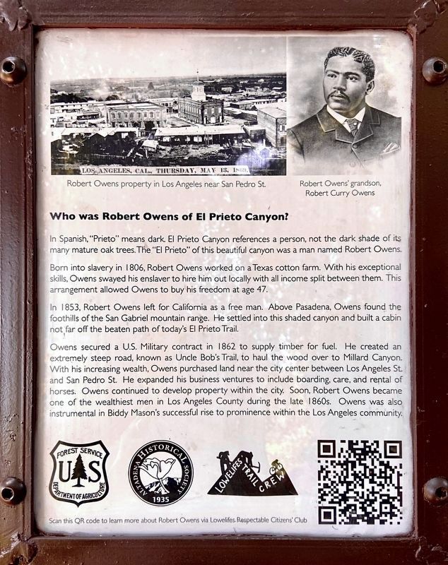
Who was Robert Owens of El Prieto Canyon?
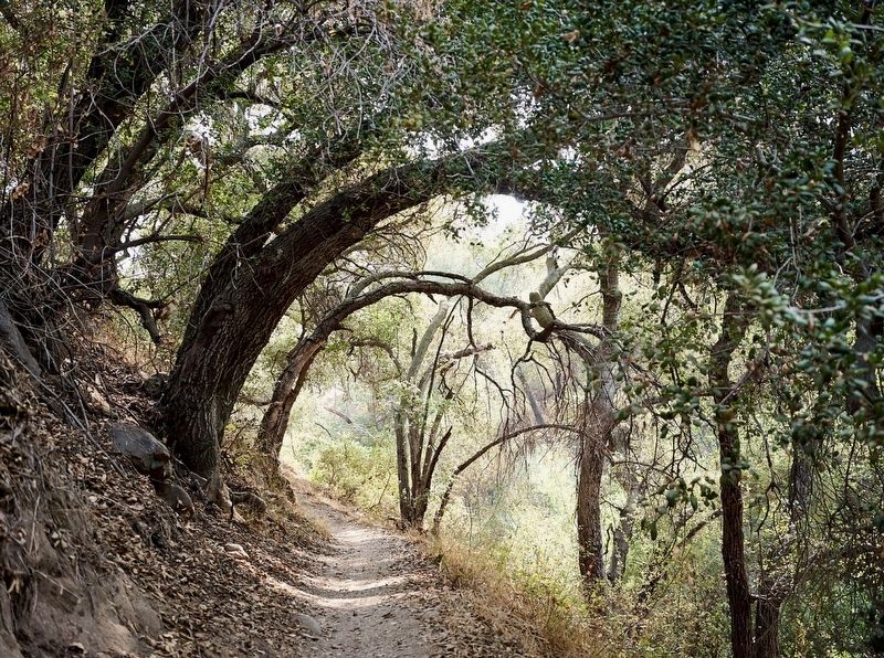
In Spanish, "Prieto" means dark. El Prieto Canyon references a person, not the dark shade of its many mature oak trees. The "El Prieto" of this beautiful canyon was a man named Robert Owens.
Born into slavery in 1806, Robert Owens worked on a Texas cotton farm. With his exceptional skills, Owens swayed his enslaver to hire him out locally with all income split between them. This arrangement allowed Owens to buy his freedom at age 47.
In 1853, Robert Owens left for California as a free man. Above Pasadena, Owens found the foothills of the San Gabriel mountain range. He settled into this shaded canyon and built a cabin not far off the beaten path of today's El Prieto Trail.
Owens secured a U.S. Military contract in 1862 to supply timber for fuel. He created an extremely steep road, known as Uncle Bob's Trail, to haul the wood over to Millard Canyon. With his increasing wealth, Owens purchased land near the city center between Los Angeles St. and San Pedro St. He expanded his business ventures to include boarding, care, and rental of horses. Owens continued to develop property within the city. Soon, Robert Owens became one of the wealthiest men in Los Angeles County during the late 1860s. Owens was also instrumental in Biddy Mason's successful rise to prominence within the Los Angeles community.
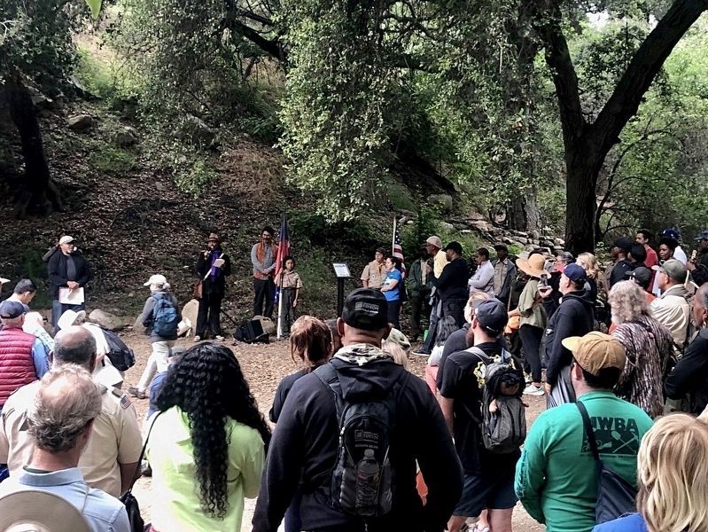
Erected 2023 by U.S. Forest Service; Altadena Historical Society; and Lowelifes Trail Crew.
Topics. This historical marker is listed in these topic lists: African Americans • Civil Rights • Industry & Commerce • Notable Places.
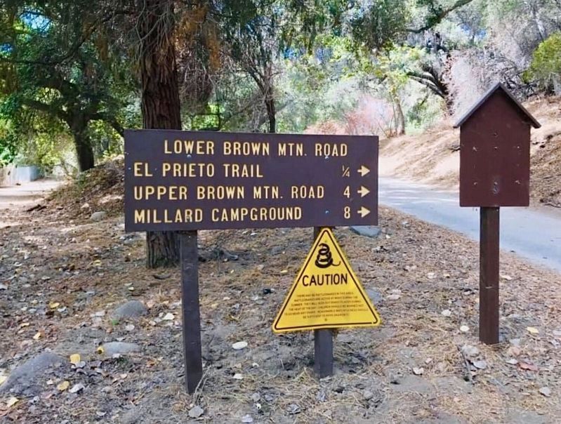
Location. 34° 12.656′ N, 118° 10.107′ W. Marker is near Altadena, California, in Los Angeles County. Marker can be reached from Explorer Road, half a mile north of Windsor Avenue. Park at the JPL Riparian Zone parking lot and hike one mile north. Touch for map. Marker is in this post office area: Altadena CA 91001, United States of America. Touch for directions.
Other nearby markers. At least 8 other markers are within 3 miles of this marker, measured as the crow flies. Space Flight Operations Facility (approx. 0.8 miles away); Jet Propulsion Laboratory (approx. 0.9 miles away); The Voyager Spacecraft - Interplanetary Explorers (approx. 0.9 miles away); O. Oliver Goodall (approx. 1.2 miles away); Zane Grey Estate (approx. 2.1 miles away); Lanterman House (approx. 2.2 miles away); Cobb Estate (approx. 2.2 miles away); Mount Lowe Scenic Railway (approx. 2.2 miles away). Touch for a list and map of all markers in Altadena.
Related marker. Click here for another marker that is related to this marker. - Biddy Mason memorial in Los Angeles.
Also see . . . Robert Owens. - The website shown on the marker as a QR code, “to learn more about Robert Owens via Lowelifes.” The Lowelifes Respectable Citizens Club is a non-profit organization founded in 2019, a group of forest users including mountain bikers, hikers, & trail runners, with a focus on trail work in the Angeles National Forest. Lowelifes is named for Mount Lowe, a local landmark in the San Gabriel Mountains. (Submitted on June 21, 2023.)
Credits. This page was last revised on June 21, 2023. It was originally submitted on June 21, 2023, by Craig Baker of Sylmar, California. This page has been viewed 347 times since then and 93 times this year. Photos: 1, 2, 3, 4. submitted on June 21, 2023, by Craig Baker of Sylmar, California.


