Marker Logo HMdb.org THE HISTORICAL
MARKER DATABASE
“Bite-Size Bits of Local, National, and Global History”
Briar Creek Township in Columbia County, Pennsylvania — The American Northeast (Mid-Atlantic)
 

Fowlersville Bridge


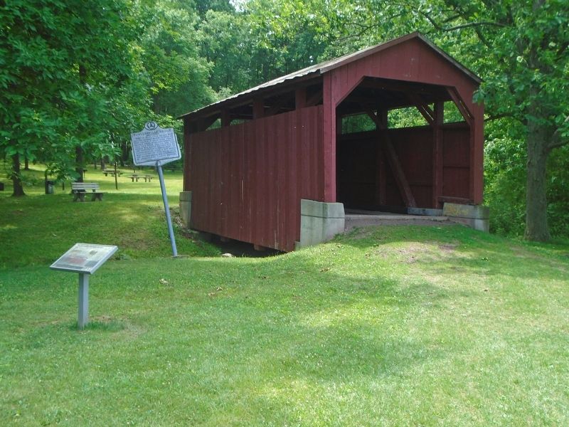
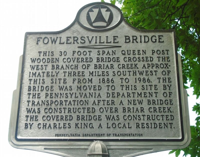
Fowlersville Bridge Marker image. Click for full size.
Photographed By William Fischer, Jr., June 21, 2023
1. Fowlersville Bridge Marker
Inscription.

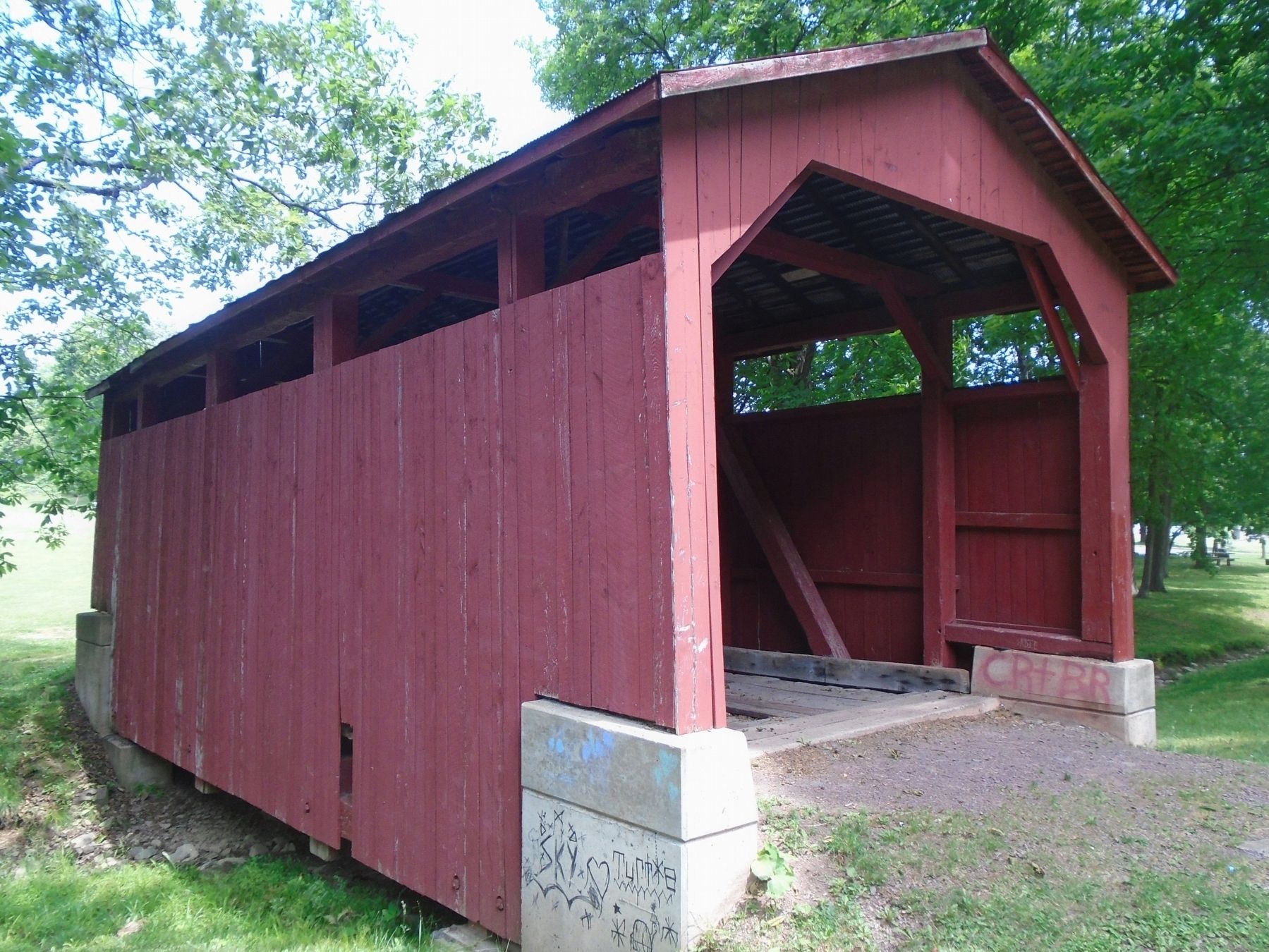
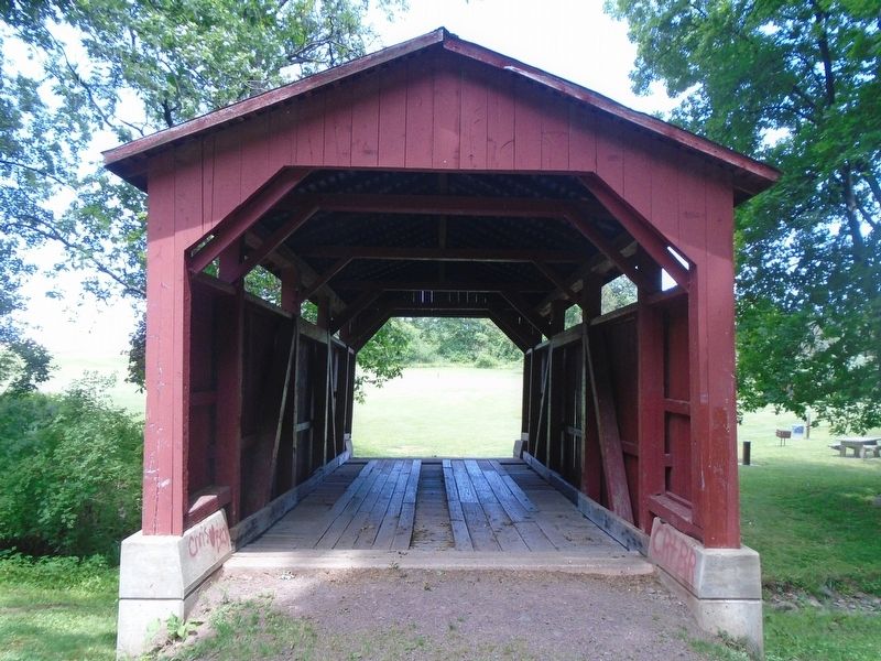
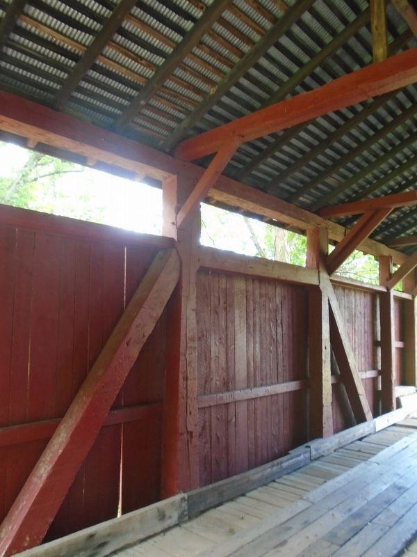
This 30 foot span Queen Post wooden covered bridge crossed the West Branch of Briar Creek approximately three miles southwest of this site from 1886 to 1986. The bridge was moved to this site by the Pennsylvania Department of Transportation after a new bridge was constructed over Briar Creek. The covered bridge was constructed by Charles King, a local resident.

 
Erected by Pennsylvania Department of Transportation.
 
Topics and series. This historical marker is listed in these topic lists: Bridges & ViaductsParks & Recreational Areas. In addition, it is included in the Covered Bridges series list. A significant historical year for this entry is 1886.
 
Location. 41° 3.66′ N, 76° 17.011′ W. Marker is in Briar Creek Township, Pennsylvania, in Columbia County. Marker and bridge are in Briar Creek Lake Park. Touch for map. Marker is at or near this postal address: 163 Briar Creek Lake Park Road, Berwick PA 18603, United States of America. Touch for directions.
 
Other nearby markers. At least 8 other markers are within 3 miles of this marker, measured as the crow flies. Fowlersville Covered Bridge (here, next to this marker); Columbia County Heroes of Vietnam (approx. 0.2 miles away); The Old Stone (Methodist Episcopal) Church (approx. 0.9 miles away); 9/11 Memorial (approx. 2.3 miles away); Stuart Tank
Paid Advertisement
Click on the ad for more information.
Please report objectionable advertising to the Editor.
Click or scan to see
this page online
(approx. 2.3 miles away); Evan Owen (approx. 2.4 miles away); Berwick Founder, Settlers, and Pioneers (approx. 2˝ miles away); Replica of the Statue of Liberty (approx. 2˝ miles away). Touch for a list and map of all markers in Briar Creek Township.
 
Fowlersville Bridge and Markers image. Click for full size.
Photographed By William Fischer, Jr., June 21, 2023
2. Fowlersville Bridge and Markers
Fowlersville Covered Bridge image. Click for full size.
Photographed By William Fischer, Jr., June 21, 2023
3. Fowlersville Covered Bridge
Fowlersville Covered Bridge image. Click for full size.
Photographed By William Fischer, Jr., June 21, 2023
4. Fowlersville Covered Bridge
Fowlersville Bridge Queen Post Detail image. Click for full size.
Photographed By William Fischer, Jr., June 21, 2023
5. Fowlersville Bridge Queen Post Detail
 
 
Credits. This page was last revised on June 21, 2023. It was originally submitted on June 21, 2023, by William Fischer, Jr. of Scranton, Pennsylvania. This page has been viewed 83 times since then and 28 times this year. Photos:   1, 2, 3, 4, 5. submitted on June 21, 2023, by William Fischer, Jr. of Scranton, Pennsylvania.
Share this page.  
Share on Tumblr
m=226478

CeraNet Cloud Computing sponsors the Historical Marker Database.
This website earns income from purchases you make after using our links to Amazon.com. We appreciate your support.
Paid Advertisement
Apr. 30, 2024