Patoka Township in Princeton in Gibson County, Indiana — The American Midwest (Great Lakes)
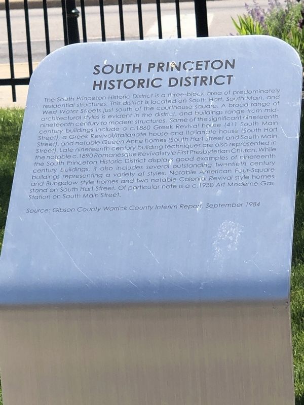
South Princeton Historic District
Photographed by Duane and Tracy Marsteller, May 29, 2023
1. South Princeton Historic District Marker
this page online
Source: Gibson County Warrick County Interim Report, September 1984
Topics. This historical marker is listed in this topic list: Architecture.
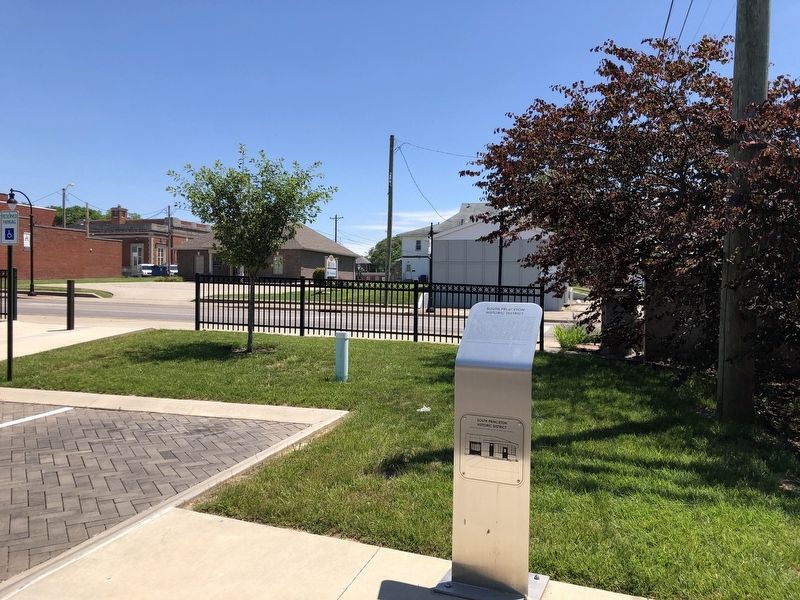
Location. 38° 21.263′ N, 87° 34.063′ W. Marker is in Princeton, Indiana, in Gibson County. It is in Patoka Township. It can be reached from West Water Street near South Main Street, on the right when traveling west. Marker is in the Princeton Public Library parking lot. Touch for map. Marker is at or near this postal address: 129 S Main St, Princeton IN 47670, United States of America. Touch for directions.

Regionally, this marker is in Indiana’s Tri-State Region, in Southern Indiana, and in the Wabash Valley. It is also in the American Midwest and in the Corn Belt. Globally, it is in North America, the Western Hemisphere, the Western World, and the Anglosphere. Historically, it finds itself in what was once the territory of the Mississippian Culture and also the Northwest Territory.
Other nearby markers. At least 8 other markers are within walking distance of this marker: Gibson County Civil War Memorial
Photographed by Duane and Tracy Marsteller, May 29, 2023
2. South Princeton Historic District Marker
Also see . . . South Princeton Historic District (PDF). This excerpt from the Indiana Historic Sites and Structures Survey has additional information about the historic district, including a map and listing of structures within it. Click the right arrow in the vertical blue bar for the next page. (Historic Landmarks Foundation of Indiana, via Indiana Memory) (Submitted on June 22, 2023, by Duane and Tracy Marsteller of Murfreesboro, Tennessee.)

Photographed by Duane and Tracy Marsteller, May 29, 2023
3. South Princeton Historic District
This c. 1930 former gas station in the Art Moderne style is in the local historic district.
Credits. This page was last revised on June 22, 2023. It was originally submitted on June 22, 2023, by Duane and Tracy Marsteller of Murfreesboro, Tennessee. This page has been viewed 270 times since then and 23 times this year. Photos: 1, 2, 3. submitted on June 22, 2023, by Duane and Tracy Marsteller of Murfreesboro, Tennessee.
