Wadesboro in Anson County, North Carolina — The American South (South Atlantic)
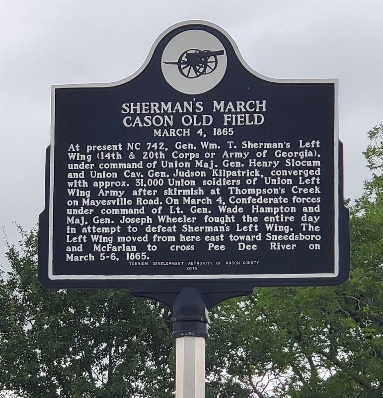
Sherman's March
Cason Old Field
— March 4, 1865 —
Erected 2016 by Tourism Development Authority of Anson County.
Topics. This historical marker is listed in this topic list: War, US Civil. A significant historical date for this entry is March 4, 1865.
Location. 34° 50.36′ N, 80° 5.62′ W. Marker is in Wadesboro, North Carolina, in Anson County. Marker is at the intersection of North Carolina Route 742 and Deep Creek Road, on the right when traveling south on State Route 742. Touch for map. Marker is at or near this postal address: 8700 NC-742, Wadesboro NC 28170, United States of America. Touch for directions.
Other nearby markers. At least 8 other markers are within 8 miles of this marker, measured as the crow flies. Sneedsborough (approx. 5.9 miles away); John J. McRae (approx. 5.9 miles away); Austin-Craig-Laney House (approx. 7.1 miles away in South Carolina); W. D. Craig House (approx. 7.1 miles away in South Carolina); First Secession Meeting (approx. 7.2 miles away in South Carolina); Chesterfield Courthouse (approx. 7.2 miles away in South Carolina); John Craig House (approx. 7.2 miles away in South Carolina); Chesterfield High School (approx. 7.2 miles away in South Carolina).
Credits. This page was last revised on June 24, 2023. It was originally submitted on June 23, 2023, by Yvonne Vaughn of Elgin, South Carolina. This page has been viewed 138 times since then and 34 times this year. Photo 1. submitted on June 23, 2023, by Yvonne Vaughn of Elgin, South Carolina. • Bernard Fisher was the editor who published this page.
Editor’s want-list for this marker. Wide shot of marker and its surroundings. • Can you help?
