
Near Christmas in Alger County, Michigan — The American Midwest (Great Lakes)
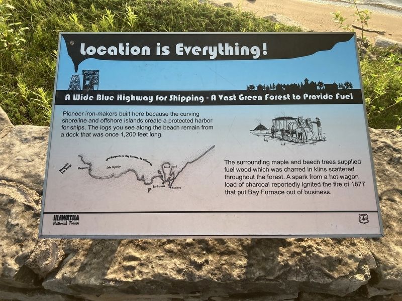
Location is Everything!
A Wide Blue Highway for Shipping - A Vast Green Forest to Provide Fuel
Photographed by Connor Olson, June 21, 2023
1. Location is Everything Marker
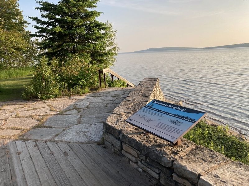
Pioneer iron-makers built here because the curving shoreline and offshore islands create a protected harbor for ships. The logs you see along the beach remain from a dock that was once 1,200 feet long.
The surrounding maple and beech trees supplied fuel wood which was charred in kilns scattered throughout the forest. A spark from a hot wagon load of charcoal reportedly ignited the fire of 1877 that put Bay Furnace out of business.
Erected by Hiawatha National Forest, US Forest Service, US Department of Agriculture.
Topics. This historical marker is listed in these topic lists: Disasters • Industry & Commerce. A significant historical year for this entry is 1877.
Location. 46° 26.513′ N, 86° 42.324′ W. Marker is near Christmas, Michigan, in Alger County. It can be reached from Forest Road 2275B north of Forest Road 2275. Touch for map. Marker is at or near this postal address: E7900 W MI Hwy 28, Munising MI 49862, United States of America. Touch for directions.

Regionally, this marker is on Michigan’s Upper Peninsula. It is also in the American Midwest and on Lake Superior’s South Shore Region. Globally,
this page online
Other nearby markers. At least 8 other markers are within 4 miles of this marker, measured as the crow flies: What’s Old? What’s New? (within shouting distance of this marker); Bay Furnace Ruins (within shouting distance of this marker); In Memory of the Men and Women of Alger County (approx. 2.8 miles away); Munising Public Dock (approx. 3.2 miles away); Shipwrecks of the Alger Underwater Preserve (approx. 3.2 miles away); S.S. Kiowa Wreck (approx. 3.2 miles away); Russell A. Alger (approx. 3.3 miles away); Alger County All Veterans Memorial (approx. 3.3 miles away). Touch for a list and map of all markers in Christmas.
Photographed by Connor Olson, June 21, 2023
2. Location is Everything! Marker
Credits. This page was last revised on June 24, 2023. It was originally submitted on June 23, 2023, by Connor Olson of Menomonee Falls, Wisconsin. This page has been viewed 248 times since then and 12 times this year. Photos: 1, 2. submitted on June 23, 2023, by Connor Olson of Menomonee Falls, Wisconsin. • J. Makali Bruton was the editor who published this page.
