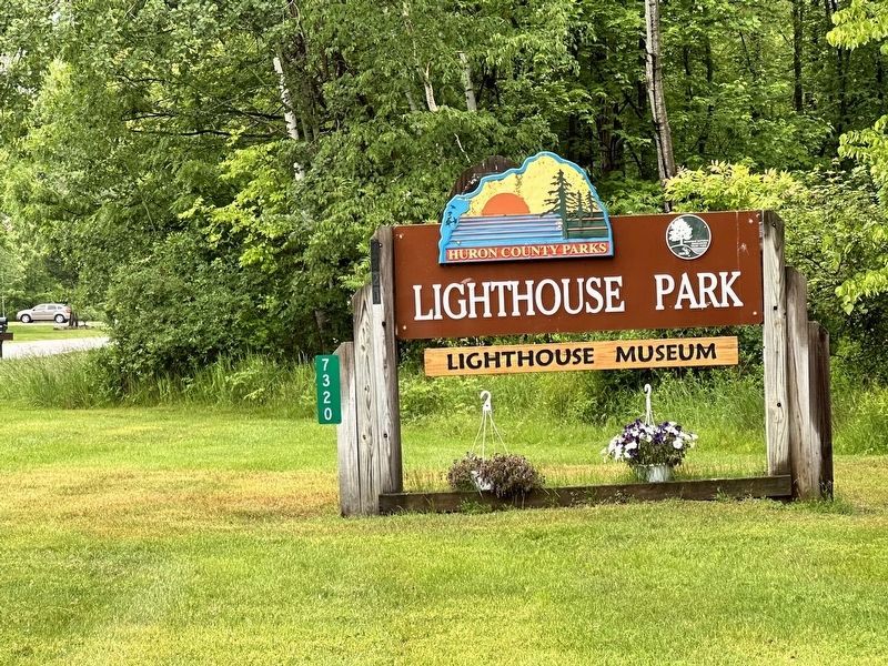
Rubicon Township in Port Hope in Huron County, Michigan — The American Midwest (Great Lakes)
The Great Lakes
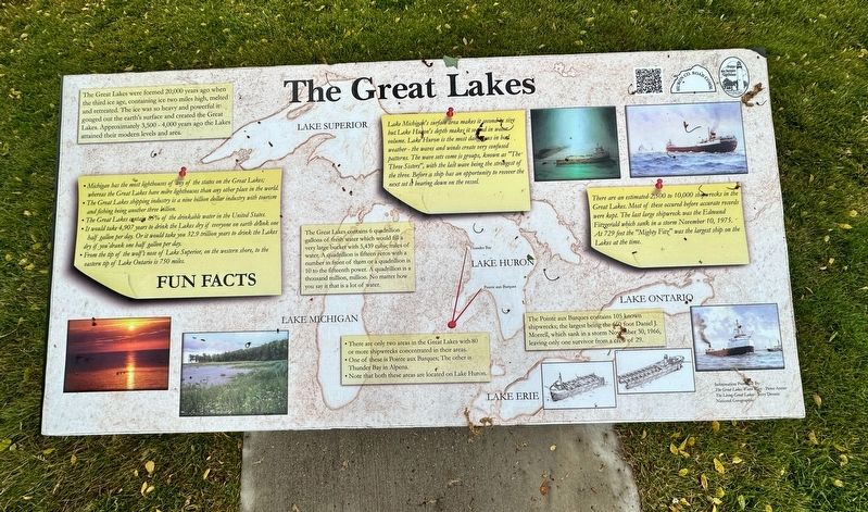
The Great Lakes were formed 20,000 years ago when the third ice age, containing ice two miles high, melted and retreated. The ice was so heavy and powerful it gouged out the earth's surface and created the Great Lakes. Approximately 3,500-4,000 years ago the Lakes attained their modern levels and area.
•Michigan has the most lighthouses of any of the states on the Great Lakes; whereas the Great Lakes have more lighthouses than any other place in the world.
•The Great Lakes shipping industry is a nine billion dollar industry with tourism and fishing being another three billion.
•The Great Lakes contain 85% of the drinkable water in the United States.
•It would take 4,907 years to drink the Lakes dry if everyone on earth drank one half gallon per day. Or it would take you 32.9 trillion years to drink the Lakes dry if you drank one half gallon per day.
•From the tip of the wolf's nose of Lake Superior, on the western shore, to the eastern tip of Lake Ontario is 750 miles.
Fun Facts
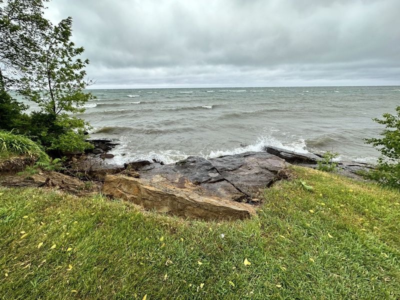
Lake Michigan's surface area makes it second in size but Lake Huron's depth makes it second in water volume. Lake Huron is the most dangerous in bad weather - the waves and winds create very confused patterns. The wave sets come is groups, known as "The Three Sisters", with the last wave being the strongest of the three. Before a ship has an opportunity to recover the next set it bearing down on the vessel.
The Great Lakes contains 6 quadrillion gallons of fresh water which would fill a very large bucket with 5,439 cubic miles of water. A quadrillion is fifteen zeros with a number in front of them or a quadrillion is 10 to the fifteenth power. A quadrillion is a thousand million, million. No matter how you say it that is a lot of water.
There are an estimated 2,500 to 10,000 shipwrecks in the Great Lakes. Most of these occured before accurate records were kept. The last large shipwreck was the Edmund Fitzgerald which sank in a storm November 10, 1975. - At 729 feet the "Mighty Fitz" was the largest ship on the Lakes at the time.
•There are only two areas in the Great Lakes with 80 or more shipwrecks concentrated in their areas.
•One of these is Pointe aux Barques; The other is Thunder Bay in Alpena.
•Note that both these areas are located on Lake Huron.
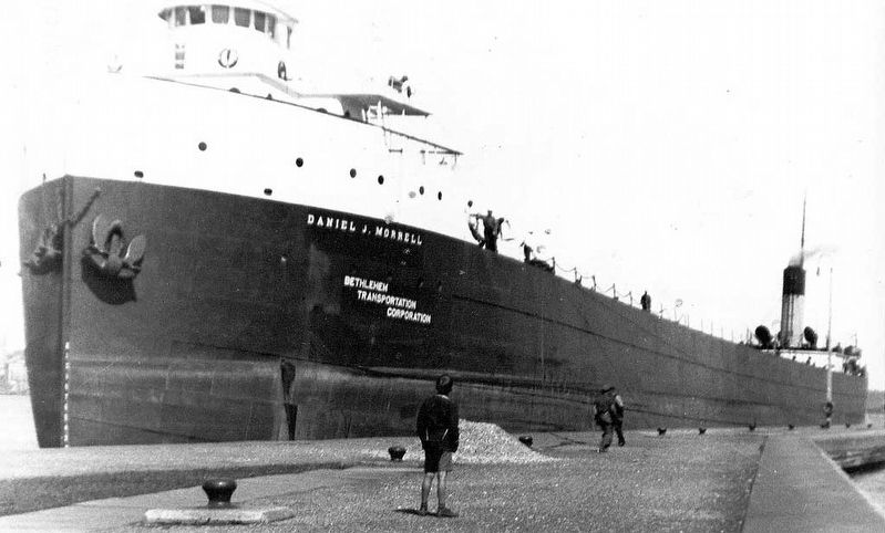
The Pointe aux Barques contains 105 known shipwrecks; the largest being the 660 foot Daniel J. Morrell, which sank in a storm November 30, 1966, leaving only one survivor from a crew of 29.
Erected by Huron County Road Commission.
Topics. This historical marker is listed in these topic lists: Disasters • Waterways & Vessels. A significant historical date for this entry is November 10, 1975.
Location. 44° 1.362′ N, 82° 47.583′ W. Marker is in Port Hope, Michigan, in Huron County. It is in Rubicon Township. Marker can be reached from Park Drive near Gulick Drive. Touch for map. Marker is at or near this postal address: 7320 Lighthouse Road, Port Hope MI 48468, United States of America. Touch for directions.
Other nearby markers. At least 8 other markers are within walking distance of this marker. Life Saving Service, Station 2 (here, next to this marker); Pointe aux Barques Lighthouse (here, next to this marker); Life Saving Station (a few steps from this marker); Storm of 1913 (a few steps from this marker); Daniel J. Morrell (a few steps from this marker); Brigantine E. Cohen (a few steps from this marker); Oil House (a few steps from this marker); Pointe Aux Barques Lighthouse (within shouting distance of this marker). Touch for a list and map of all markers in Port Hope.
Credits. This page was last revised on June 29, 2023. It was originally submitted on June 24, 2023, by J.T. Lambrou of New Boston, Michigan. This page has been viewed 40 times since then and 6 times this year. Photos: 1, 2, 3, 4, 5. submitted on June 24, 2023, by J.T. Lambrou of New Boston, Michigan. • J. Makali Bruton was the editor who published this page.
