Historic District in Wilmington in New Hanover County, North Carolina — The American South (South Atlantic)
Vance Alley
Photographed by Cosmos Mariner, May 15, 2023
1. Vance Alley Marker
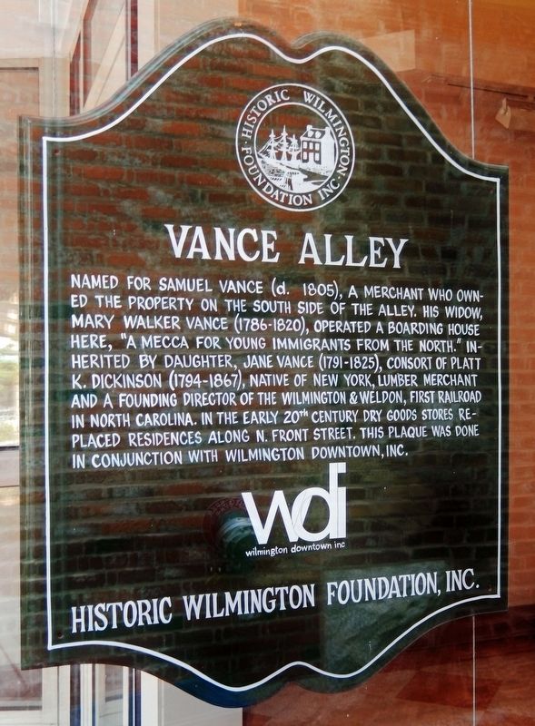
Named for Samuel Vance (d. 1805), a merchant who owned the property on the south side of the alley. His widow, Mary Walker Vance (1786-1820), operated a boarding house here, “a mecca for young immigrants from the north.” Inherited by daughter, Jane Vance (1792-1835), consort of Platt K. Dickinson (1794-1867), native of New York, lumber merchant and a founding director of the Wilmington & Weldon, first railroad in North Carolina. In the early 20th century dry goods stores replaced residences along N. Front Street. This plaque was done in conjunction with Wilmington Downtown, Inc.
Erected by Historic Wilmington Foundation, Inc.; and Wilmington Downtown, Inc.
Topics and series. This historical marker is listed in these topic lists: Industry & Commerce • Railroads & Streetcars • Roads & Vehicles. In addition, it is included in the North Carolina, Historic Wilmington Foundation series list.
Location. 34° 14.292′ N, 77° 56.932′ W. Marker is in Wilmington, North Carolina, in New Hanover County. It is in the Historic District. It is on North Front Street north of
this page online

Regionally, this marker is in the Coastal Plain and on the Cape Fear Coast. It is also in the American South, specifically in the Upper South, in the Tidewater, and on the Eastern Seaboard. Globally, it is in the North Atlantic Region, North America, the Western Hemisphere, the Western World, and the Anglosphere. Historically, it finds itself in what was once the territory of the Mississippian Culture, one of the original Thirteen Colonies, one of the Confederate States of America, and the Antebellum South.
Other nearby markers. At least 8 other markers are within walking distance of this marker: I. Shrier Lyceum Hall (within shouting distance of this marker); The Bijou Theater (within shouting distance of this marker); Peterson & Rulfs Building (within shouting distance of this marker); Shrier Building (within shouting distance of this marker); The Murchison National Bank Building
Photographed by Cosmos Mariner, May 15, 2023
2. Vance Alley
Also see . . .
1. From 'dark passageway' to 'urban showpiece'.
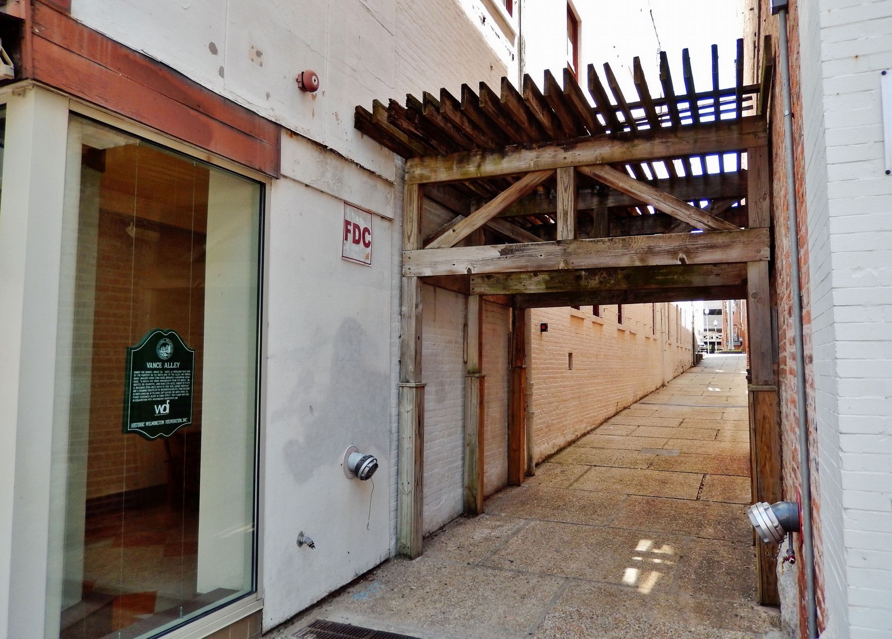
Alleys in downtown Wilmington could soon be getting a facelift. The goal is to transform Wilmington's alleys, by creating “an urban showpiece instead of a dark passageway between buildings," said Holly Childs, the president of Wilmington Downtown Inc. Vance Alley will serve as the pilot project. The alley runs alongside the Gaylord Building in downtown Wilmington.(Submitted on June 27, 2023, by Cosmos Mariner of Cape Canaveral, Florida.)
2. Wilmington and Weldon Railroad.
Originally chartered as the Wilmington and Raleigh Railroad in 1834. When it opened in 1840, the line was the longest railroad in the world with 161.5 miles of track. At its terminus in Weldon, North Carolina, it connected with the Seaboard and Roanoke Railroad (to Portsmouth, Virginia) and the Petersburg Railroad (to Petersburg, Virginia). During the American Civil War, the railroad was used heavily by the Confederacy for transporting troops and supplies. The cities of Wilmington and Goldsboro fell in 1865 at the end of the war, and the railroad was badly damaged.(Submitted on June 27, 2023, by Cosmos Mariner of Cape Canaveral, Florida.)
Credits. This page was last revised on June 27, 2023. It was originally submitted on June 26, 2023, by Cosmos Mariner of Cape Canaveral, Florida. This page has been viewed 424 times since then and 47 times this year. Photos: 1, 2. submitted on June 27, 2023, by Cosmos Mariner of Cape Canaveral, Florida.
