Dundurn B in Hamilton, Ontario — Central Canada (North America)
The Boathouse Community
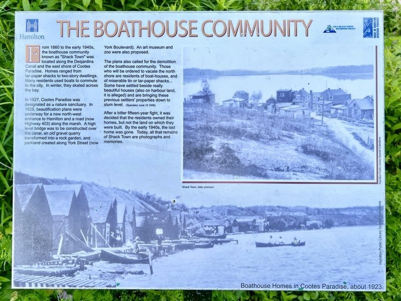
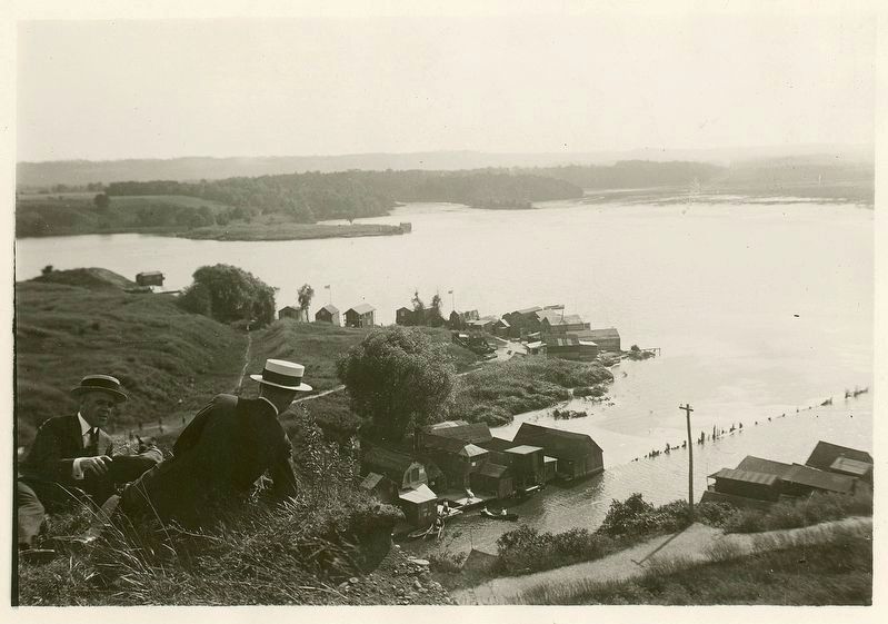
From 1860 to the early 1940s, the boathouse community known as "Shack Town" was located along the Desjardins Canal and the east shore of Cootes Paradise. Homes ranged from tar-paper shacks to two-story dwellings. Many residents used boats to commute to the city. In winter, they skated across the bay.
In 1927, Cootes Paradise was designated as a nature sanctuary. In 1928, beautification plans were underway for a new north-west entrance to Hamilton and a road (now Highway 403) along the marsh. A high level bridge was to be constructed over the canal, an old gravel quarry transformed into a rock garden, and parkland created along York Street (now York Boulevard). An art museum and zoo were also proposed.
The plans also called for the demolition of the boathouse community. Those who will be ordered to vacate the north shore are residents of boat-houses, and of miserable tin or tar-paper shacks... Some have settled beside really beautiful houses (also on harbour land, it is alleged) and are bringing these previous settlers' properties down to slum level. (Spectator June 12 1936)
After a bitter fifteen-year fight, it was decided that the residents owned their homes, but not the land on which they were built. By the early 1940s, the last home was gone. Today, all that remains of Shack Town are photographs and memories.
Erected by City of Hamilton.
Topics. This historical marker is listed in these topic lists: Bridges & Viaducts • Parks & Recreational Areas • Settlements & Settlers. A significant historical year for this entry is 1860.
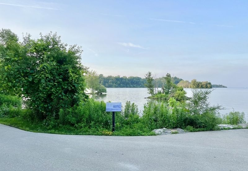
Location. 43° 16.675′ N, 79° 53.335′ W. Marker is in Hamilton, Ontario. It is in Dundurn B. The marker is on the Hamilton Harbour Waterfront Trail, approx. a 2 km walk from the Bayfront Park parking lot at the end of Harbour Front Drive (off of Bay Street N. at Strachan Street W) It is also a 400m walk from the Waterfront Trail access stairs off of York Boulevard at the Thomas B. McQueston High Level Bridge. Touch for map. Marker is in this post office area: Hamilton ON L8R L8R, Canada. Touch for directions.
Other nearby markers. At least 8 other markers are within walking distance of this marker. Desjardins Canal Disaster (about 210 meters away, measured in a direct line); Treaty Council at Burlington Heights/ Conseil du Traité a Burlington Heights (approx. 0.3 kilometers away); "The Burlington Races" 1813 (approx. half a kilometer away); March to Stoney Creek (approx. 0.7 kilometers away); The Hamilton Naturalists’ Club (approx. 0.7 kilometers away); Burlington Heights 1813 - 1814 (approx. 0.7 kilometers away); First Line of Defense (approx. 0.7 kilometers away); Defensive Outwork (approx. 0.9 kilometers away). Touch for a list and map of all markers in Hamilton.
Also see . . . North End Breezes- the Boathouse community of Cootes Paradise.
Many of those who settled in the community were unskilled workers who were not qualified for any meaningful jobs. Shacktown residents enjoyed excellent access to fresh water fishing on the bay and catching turtles, muskrats, beavers, squirrels, rabbits, deer, ducks and other wildlife found in the marsh. The Shacktown residents managed to etch out a small living by selling their catch to area restaurants and by trading furs.(Submitted on June 29, 2023, by Tim Boyd of Hamilton, Ontario.)
Credits. This page was last revised on July 2, 2023. It was originally submitted on June 29, 2023, by Tim Boyd of Hamilton, Ontario. This page has been viewed 118 times since then and 42 times this year. Photos: 1, 2, 3, 4. submitted on June 29, 2023, by Tim Boyd of Hamilton, Ontario. • Andrew Ruppenstein was the editor who published this page.


