Dundurn B in Hamilton, Ontario — Central Canada (North America)
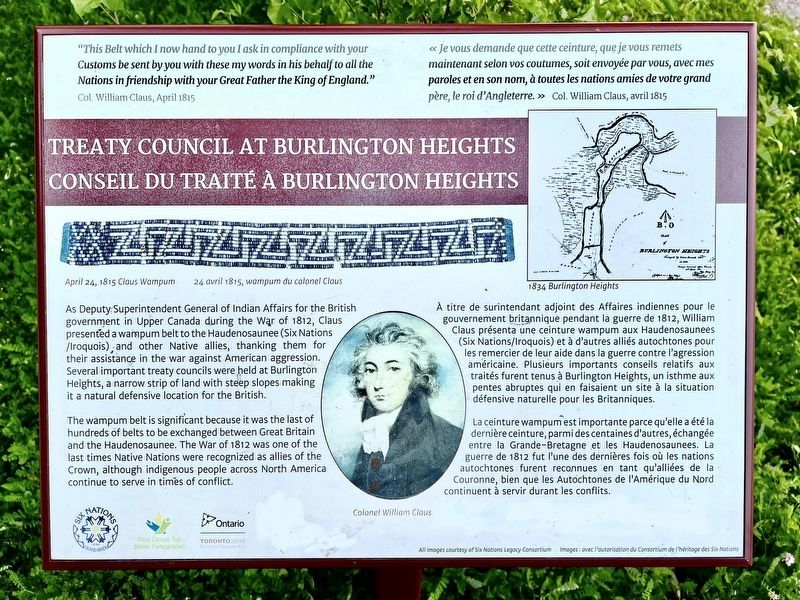
Treaty Council at Burlington Heights/ Conseil du Traité a Burlington Heights
Inscription.
Col. William Claus, April 1815
Treaty Council at Burlington Heights
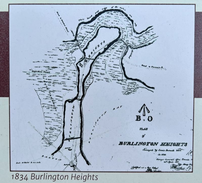
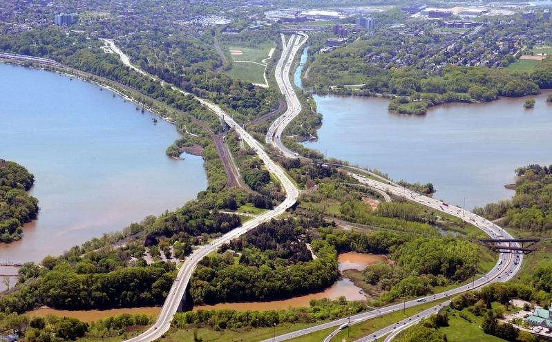
As Deputy Superintendent General of Indian Affairs for the British government in Upper Canada during the War of 1812, Claus presented a wampum bel to the Haudenosaunee (Six Nations/ Iroquois); and other Native allies, thanking them for their assistance in the war against American aggression. Several important treaty councils were held at Burlington Heights, a narrow strip of land with steep slopes making it a natural defensive location for the British.
The wampum belt is significant because it was the last of hundreds of belts to be exchanged between Great Britain and the Haudenosaunee. The War of 1812 was one of the last times Native Nations were recognized as allies of the Crown, although indigenous people across North America continue to serve in times of conflict.
Col. William Claus, avril 1815
Conseil du Traité a Burlington Heights
À titre de surintendant adioint des Affaires indiennes pour le gouvernement britannique pendant la guerre de 1812, William Claus présenta une ceinture wampum aux Haudenosaunees (Six Nations/Iroquois) et à d'autres alliés autochtones pour les remercier de leur aide dans la guerre contre l'agression américaine. Plusieurs importants conseils relatifs aux traités furent tenus à Burlington Heights, un isthme aux pentes abruptes qui en faisaient un site à la situation défensive naturelle pour les Britanniques.
La ceinture wampum est importante parce qu'elle a été la dernière ceinture, parmi des centaines d'autres, échangée entre la Grande-Bretagne et les Haudenosaunees. La guerre de 1812 fut l'une des dernières fois où les nations autochtones furent reconnues en tant qu'alliées de la Couronne, bien que les Autochtones de l'Amérique du Nord continuent à servir durant les conflits.
Erected by Six Nations of the Grand River/ Government of Ontario.
Topics. This historical marker is listed in these topic lists: Native Americans • War of 1812. A significant historical month for this entry is April 1815.
Location.
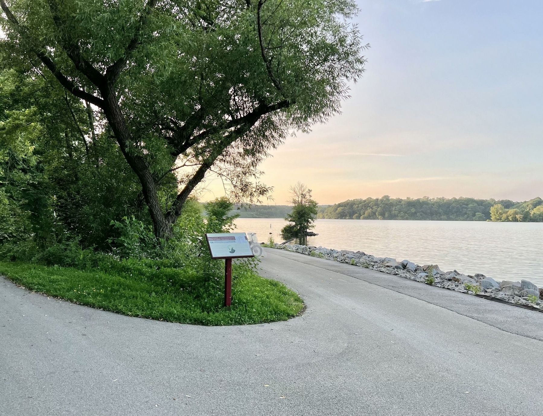
43° 16.52′ N, 79° 53.236′ W. Marker is in Hamilton, Ontario. It is in Dundurn B. The marker is on the Hamilton Harbour Waterfront Trail, approx. 1.7km from the Bayfront Park parking lot at the end of Harbour Front Drive (off of Bay Street N. at Strachan Street W) It is also approx. 700m from the Waterfront Trail access stairs off of York Boulevard at the Thomas B. McQueston High Level Bridge. Touch for map. Marker is in this post office area: Hamilton ON L8R L8R, Canada. Touch for directions.
Other nearby markers. At least 8 other markers are within walking distance of this marker. "The Burlington Races" 1813 (about 210 meters away, measured in a direct line); The Boathouse Community (approx. 0.3 kilometers away); Burlington Heights 1813 - 1814 (approx. 0.4 kilometers away); First Line of Defense (approx. 0.4 kilometers away); March to Stoney Creek (approx. 0.4 kilometers away); Desjardins Canal Disaster (approx. half a kilometer away); Defensive Outwork (approx. 0.6 kilometers away); The Hamilton Naturalists’ Club (approx. 0.6 kilometers away). Touch for a list and map of all markers in Hamilton.
Also see . . .
1. Six Nations Legacy Consortium- Pledge of the Crown Wampum Belt.
This wampum belt was created by the British to represent the ongoing relationship after the war. The pattern may have been derived from an ancient design called the meander, or Greek Key. It often was used to represent the interwoven bonds of love and friendship.(Submitted on June 29, 2023, by Tim Boyd of Hamilton, Ontario.)
2. Dictionary of Canadian Biography- William Claus.
A man of modest abilities, William Claus was fortunate to be born into a family of prominence, wealth, and influence. His maternal grandfather, Sir William Johnson*, had vast estates in the Mohawk valley and was superintendent of northern Indians. His father held important positions in the Indian Department also. Claus’s family had intended to give him a proper education in a New York City school but was prevented from doing so by the outbreak of civil war and rebellion in colonial America, which forced them to flee to the province of Quebec late in the spring of 1775.(Submitted on June 29, 2023, by Tim Boyd of Hamilton, Ontario.)
Credits. This page was last revised on July 1, 2023. It was originally submitted on June 29, 2023, by Tim Boyd of Hamilton, Ontario. This page has been viewed 86 times since then and 26 times this year. Photos: 1, 2, 3, 4. submitted on June 29, 2023, by Tim Boyd of Hamilton, Ontario. • Andrew Ruppenstein was the editor who published this page.


