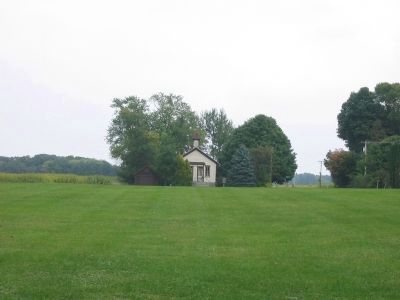
Cooksville in Rock County, Wisconsin — The American Midwest (Great Lakes)
Village of Cooksville / Village of Waucoma
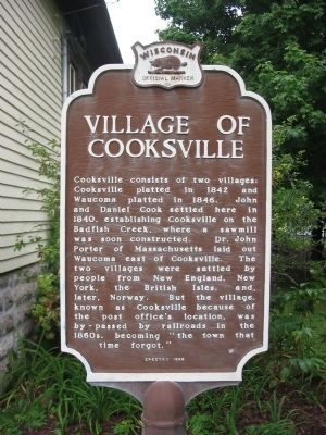
Village of Cooksville
Cooksville consists of two villages: Cooksville platted in 1842 and Waucoma platted in 1846. John and Daniel Cook settled here in 1840, establishing Cooksville on the Badfish Creek, where a sawmill was soon constructed. Dr. John Porter of Massachusetts laid out Waucoma east of Cooksville. The two villages were settled by people from New England, New York, the British Isles, and, later, Norway. But the village, known as Cooksville because of the post office’s location, was by-passed by railroads in the 1860s, becoming “the town that time forgot.”
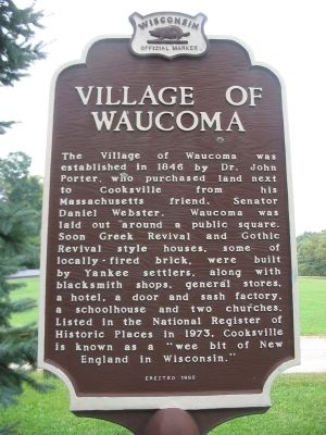
Village of Waucoma
The Village of Waucoma was established in 1846 by Dr. John Porter, who purchased land next to Cooksville from his Massachusetts friend, Senator Daniel Webster. Waucoma was laid out around a public square. Soon Greek Revival and Gothic Revival style houses, some of locally fired brick, were built by Yankee settlers, along with blacksmith shops, general stores, a hotel, a door and sash factory, a schoolhouse, and two churches. Listed in the National Register of Historic Places in 1973, Cooksville is known as "a wee bit of New England in Wisconsin."
Erected 1996 by the Wisconsin Historical Society. (Marker Number 342.)
Topics and series. This historical marker is listed in this topic list: Settlements & Settlers. In addition, it is included in the Wisconsin Historical Society series list. A significant historical year for this entry is 1842.
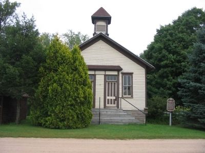
Location. 42° 50.103′ N, 89° 14.177′ W. Marker is in Cooksville, Wisconsin, in Rock County. Marker is at the intersection of North Church Street and State Highway 59, on the right when traveling north on North Church Street. Touch for map. Marker is at or near this postal address: 11204 North Church Street, Evansville WI 53536, United States of America. Touch for directions.
Other nearby markers. At least 8 other markers are within 9 miles of this marker, measured as the crow flies. CCC Veterans Memorial Bridge (approx. 4.9 miles away); Stoughton (approx. 5.6 miles away); Main Street Historic District (approx. 5.7 miles away); East Park Historic District (approx. 5.8 miles away); Wisconsin's Tobacco Land (approx. 8.4 miles away); Albion Academy (approx. 9 miles away); Sheepskin School (approx. 9 miles away); Sterling North (approx. 9 miles away).
Credits. This page was last revised on November 29, 2020. It was originally submitted on September 24, 2009, by Keith L of Wisconsin Rapids, Wisconsin. This page has been viewed 1,365 times since then and 43 times this year. Photos: 1, 2, 3, 4, 5. submitted on September 24, 2009, by Keith L of Wisconsin Rapids, Wisconsin. • Craig Swain was the editor who published this page.
