Summerville in Dorchester County, South Carolina — The American South (South Atlantic)
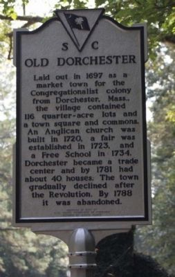
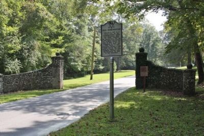
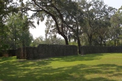
Old Dorchester
Erected 1963 by S.C. State Commission of Forestry, Division of State Parks. (Marker Number 18-1.)
Topics. This historical marker is listed in this topic list: Settlements & Settlers. A significant historical year for this entry is 1697.
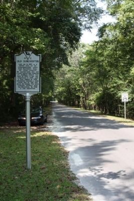
Location. 32° 57.008′ N, 80° 10.26′ W. Marker is in Summerville, South Carolina, in Dorchester County. Marker is on State Park Road, on the right when traveling south. Located .3 miles south of Dorchester Road ( State Road 642 ). Touch for map. Marker is in this post office area: Summerville SC 29485, United States of America. Touch for directions.
Other nearby markers. At least 8 other markers are within walking distance of this marker. Parish Church of St. George, Dorchester (about 500 feet away, measured in a direct line); The Bell Tower of St. George's (about 500 feet away); Dorchester Free School (about 600 feet away); Colonial Dorchester (approx. 0.2 miles away); a different marker also named Colonial Dorchester (approx. 0.2 miles away); a different marker also named Colonial Dorchester (approx. 0.2 miles away); Linking Places and People (approx. 0.2 miles away); Fort Dorchester (approx. 0.2 miles away). Touch for a list and map of all markers in Summerville.
Regarding Old Dorchester. National Register of Historic Places:
Old Dorchester ** (added 1969 - Site - #69000165) •
6 mi. S of Summerville on SC 642, Summerville •
Historic Significance: Information Potential •
Area of Significance: Religion, Social History, Historic - Non-Aboriginal, Military, Politics/Government, Commerce •
Cultural Affiliation: American Revolution, Early American Village •
Period of Significance: 1650-1699, 1700-1749, 1750-1799 •
Owner: State •
Historic Function: Domestic •
Historic Sub-function: Village Site •
Current Function: Landscape •
Current Sub-function: Park •
Credits. This page was last revised on November 15, 2020. It was originally submitted on September 25, 2009, by Mike Stroud of Bluffton, South Carolina. This page has been viewed 1,619 times since then and 37 times this year. Photos: 1, 2, 3, 4. submitted on September 25, 2009, by Mike Stroud of Bluffton, South Carolina. • Craig Swain was the editor who published this page.


