Near Mandan in Morton County, North Dakota — The American Midwest (Upper Plains)
Fort Abraham Lincoln Military Reservation Boundary Marker
Inscription.
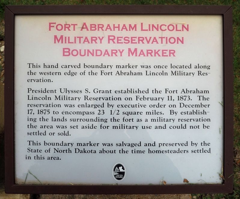
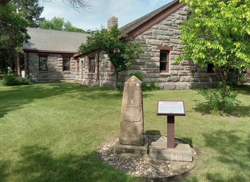
This hand carved boundary marker was once located along the western edge of the Fort Abraham Lincoln Military Reservation.
President Ulysses S. Grant established the Fort Abraham Lincoln Military Reservation on February 11, 1873. The reservation was enlarged by executive order on December 17, 1875 to encompass 23 1/2 square miles. By establishing the lands surrounding the fort as a military reservation the area was set aside for military use and could not be settled or sold.
This boundary marker was salvaged and preserved by the State of North Dakota about the time homesteaders settled in this area.
Erected by North Dakota Parks and Recreation.
Topics. This historical marker is listed in these topic lists: Forts and Castles • Settlements & Settlers • Wars, US Indian. A significant historical year for this entry is 1873.
Location. 46° 45.969′ N, 100° 50.791′ W. Marker is near Mandan, North Dakota, in Morton County. Marker is on Fort Lincoln Road, on the left when traveling north. The marker is in Fort Abraham Lincoln State Park (fee area), just east of the visitor center facing the parking lot. Touch for map. Marker is at or near this postal address: 4480 Fort Lincoln Road, Mandan ND 58554, United States of America. Touch for directions.
Other nearby markers. At least 8 other markers are within walking distance of this marker. Civilian Conservation Corps (here, next to this marker); Cannonball Concretions (a few steps from this marker); Civilian Conservation Corps Project (within shouting distance of this marker); Commanding Officer’s Quarters (within shouting distance of this marker); Slant Indian Village (about 300 feet away, measured in a direct line); Powder Magazines (approx. 0.3 miles away); Laundress' Quarter: "Suds Row" (approx. 0.4 miles away); Schoolhouse (approx. 0.4 miles away). Touch for a list and map of all markers in Mandan.
Credits. This page was last revised on July 1, 2023. It was originally submitted on June 30, 2023, by McGhiever of Minneapolis, Minnesota. This page has been viewed 74 times since then and 6 times this year. Photos: 1, 2. submitted on June 30, 2023, by McGhiever of Minneapolis, Minnesota. • J. Makali Bruton was the editor who published this page.

