Niantic in East Lyme in New London County, Connecticut — The American Northeast (New England)
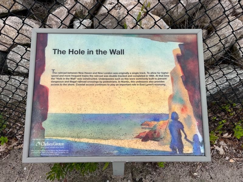
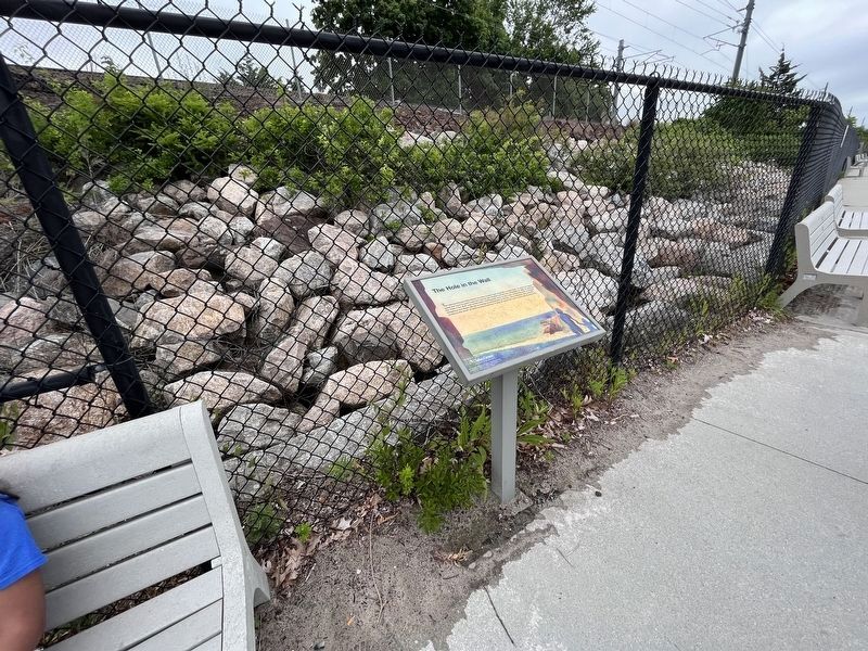
The Hole in the Wall
Erected by East Lyme Public Trust Foundation, Inc., with funding by Chelsea Groton.
Topics. This historical marker is listed in these topic lists: Industry & Commerce • Railroads & Streetcars • Waterways & Vessels. A significant historical year for this entry is 1894.
Location. 41° 19.29′ N, 72° 11.727′ W. Marker is in East Lyme, Connecticut, in New London County. It is in Niantic. Marker can be reached from Boardwalk just east of Baptist Lane, on the left when traveling east. Touch for map. Marker is at or near this postal address: 30 Main Street, Niantic CT 06357, United States of America. Touch for directions.
Other nearby markers. At least 8 other markers are within 3 miles of this marker, measured as the crow flies. McCook Point (about 400 feet away, measured in a direct line); A Place for Play (approx. 0.2 miles away); The Iron Horse (approx. 0.2 miles away); East Lyme Veterans Memorial (approx. ¼ mile away); East Lyme Honor Roll (approx. ¼ mile away); A Glimpse into the Past (approx. ¼ mile away); East Lyme (approx. 0.4 miles away); Bride Brook (approx. 2½ miles away). Touch for a list and map of all markers in East Lyme.
Credits. This page was last revised on March 27, 2024. It was originally submitted on June 30, 2023, by Devry Becker Jones of Washington, District of Columbia. This page has been viewed 68 times since then and 18 times this year. Photos: 1, 2. submitted on June 30, 2023, by Devry Becker Jones of Washington, District of Columbia.

