Near Blowing Rock in Watauga County, North Carolina — The American South (South Atlantic)
Moses Cone Estate
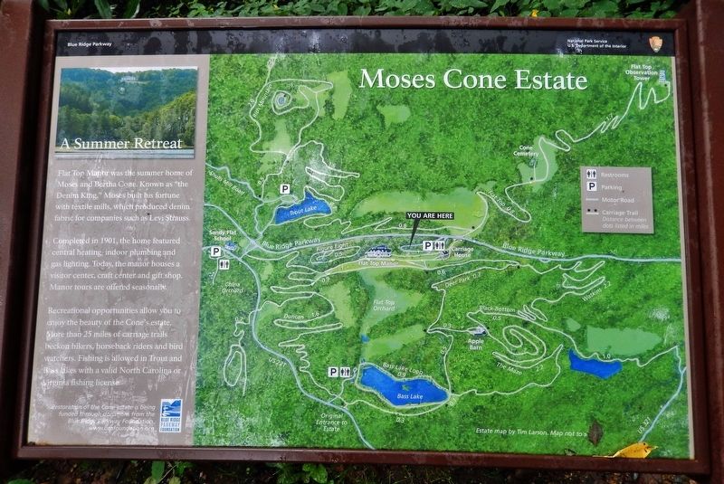
A Summer Retreat
— Blue Ridge Parkway —
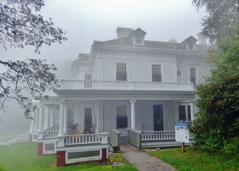
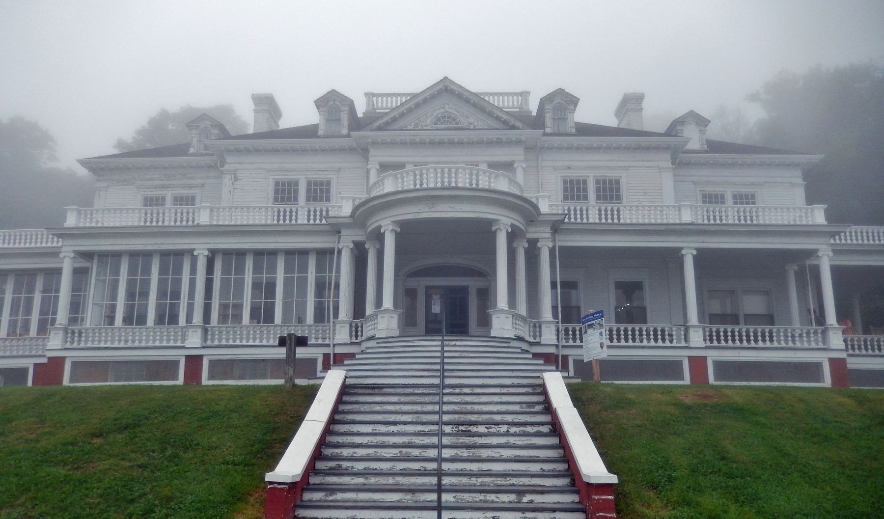
Flat Top Manor was the summer home of Moses and Bertha Cone. Known as “the Denim King,” Moses built his fortune with textile mills, which produced denim fabric for companies such as Levi Strauss.
Completed in 1901, the home featured central heating, indoor plumbing and gas lighting. Today, the manor houses a visitor center, craft center and gift shop. Manor tours are offered seasonally.
Recreational opportunities allow you to enjoy the beauty of the Cone’s estate. More than 25 miles of carriage trails beckon hikers, horseback riders and bird watchers. Fishing is allowed in Trout and Bass lakes with a valid North Carolina or Virginia fishing license.
Erected by National Park Service, U.S. Department of the Interior.
Topics and series. This historical marker is listed in these topic lists: Architecture • Industry & Commerce • Parks & Recreational Areas. In addition, it is included in the Blue Ridge Parkway series list. A significant historical year for this entry is 1901.
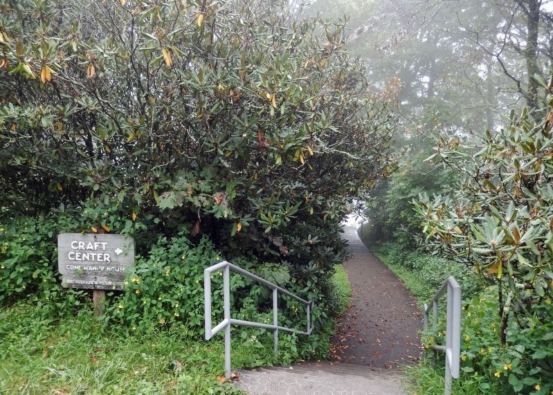
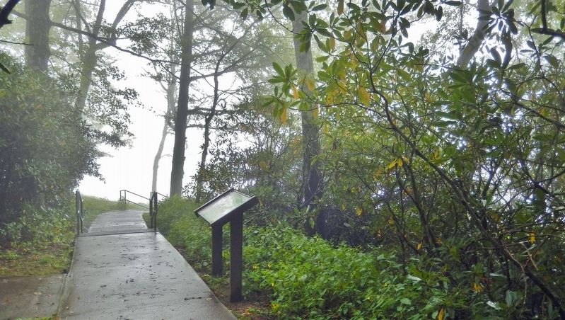
Location. 36° 8.96′ N, 81° 41.572′ W. Marker is near Blowing Rock, North Carolina, in Watauga County. Marker can be reached from Blue Ridge Parkway (at milepost 294), 2 miles west of U.S. 221, on the left when traveling south. Marker is located on the Moses Cone (Flat Top) Estate grounds, along the walkway leading from the main parking lot to the northeast side of the manor building. Touch for map. Marker is at or near this postal address: 6570 Blue Ridge Parkway, Blowing Rock NC 28605, United States of America. Touch for directions.
Other nearby markers. At least 8 other markers are within 2 miles of this marker, measured as the crow flies. A Prosperous Mountain Family (within shouting distance of this marker); Carriage Roads (within shouting distance of this marker); a different marker also named Carriage Roads (approx. 0.7 miles away); L.M. Tate Show Grounds (approx. 0.9 miles away); Chetola (approx. 1.2 miles away); Religious Heritage (approx. 1.2 miles away); Medical Care (approx. 1.2 miles away); Philanthropy (approx. 1.2 miles away). Touch for a list and map of all markers in Blowing Rock.
Related markers. Click here for a list of markers that are related to this marker. The Moses Cone Estate
Also see . . .
1. Welcome to the Summer Home of Moses and Bertha Cone.
Textile magnate Moses H. Cone built this summer retreat with his wife, Bertha, at the turn of the 20th century. In 1949, the family donated the estate, which is listed on the Register of Historic Places, to the National Park Service. Visit Flat Top Manor and estate, now known as the Moses H. Cone Memorial Park, for the perfectly curated and winding carriage trails, historic manor, and Southern Highland Craft Guild craft shop.(Submitted on July 1, 2023, by Cosmos Mariner of Cape Canaveral, Florida.)
2. Moses Cone.
Moses Cone rose from immigrant roots to become a leading industrialist during America's Gilded Age. The story of the Cone family begins with Moses’ father, Herman Kahn, who immigrated to America from Bavaria, Germany in 1846, when he was 17 years old. Herman first settled in Richmond, Virginia, and Americanized his name from Kahn to Cone. Moses began his career in his father’s business. Moses and his brother Caesar, worked as travelling salesman for their father.(Submitted on July 1, 2023, by Cosmos Mariner of Cape Canaveral, Florida.)
Credits. This page was last revised on July 1, 2023. It was originally submitted on July 1, 2023, by Cosmos Mariner of Cape Canaveral, Florida. This page has been viewed 94 times since then and 33 times this year. Photos: 1, 2, 3, 4, 5. submitted on July 1, 2023, by Cosmos Mariner of Cape Canaveral, Florida.
