Cloutierville in Natchitoches Parish, Louisiana — The American South (West South Central)
Farming Transitions
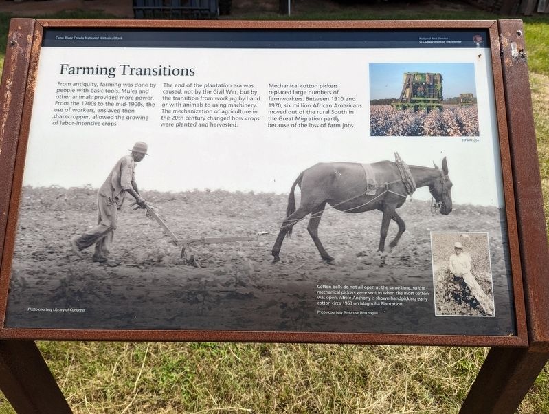
From antiquity, farming was done by people with basic tools. Mules and other animals provided more power. From the 1700s to the mid-1900s, the use of workers, enslaved then sharecropper, allowed the growing of labor-intensive crops.
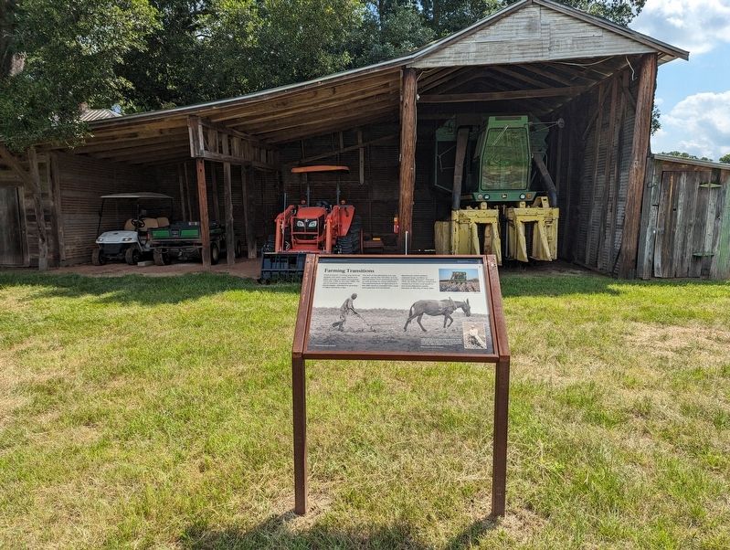
The end of the plantation era was caused, not by the Civil War, but by the transition from working by hand or with animals to using machinery. The mechanization of agriculture in the 20th century changed how crops were planted and harvested.
Mechanical cotton pickers replaced large numbers of farmworkers. Between 1910 and 1970, six million African Americans moved out of the rural South in the Great Migration partly because of the loss of farm jobs.
Erected by National Park Service.
Topics. This historical marker is listed in this topic list: Agriculture.
Location. 31° 33.028′ N, 92° 56.49′ W. Marker is in Cloutierville, Louisiana, in Natchitoches Parish. Marker is on Louisiana Route 119, one mile north of Louisiana Route 1. Touch for map. Marker is at or near this postal address: 1111 LA-119, Cloutierville LA 71416, United States of America. Touch for directions.
Other nearby markers. At least 8 other markers are within walking distance of this marker. Changing Residents (within shouting distance of this marker); Magnolia Plantation Site Map (within shouting distance of this marker); Livestock (within shouting distance of this marker); Cash or Credit (within shouting distance of this marker); The Sound of Time (within shouting distance of this marker); Corn Crib (within shouting distance of this marker); Magnolia Plantation (within shouting distance of this marker); Oakland Plantation (within shouting distance of this marker). Touch for a list and map of all markers in Cloutierville.
Credits. This page was last revised on July 4, 2023. It was originally submitted on July 4, 2023, by Cajun Scrambler of Assumption, Louisiana. This page has been viewed 72 times since then and 9 times this year. Photos: 1, 2. submitted on July 4, 2023, by Cajun Scrambler of Assumption, Louisiana.

