Rolling Hills Estates in Los Angeles County, California — The American West (Pacific Coastal)
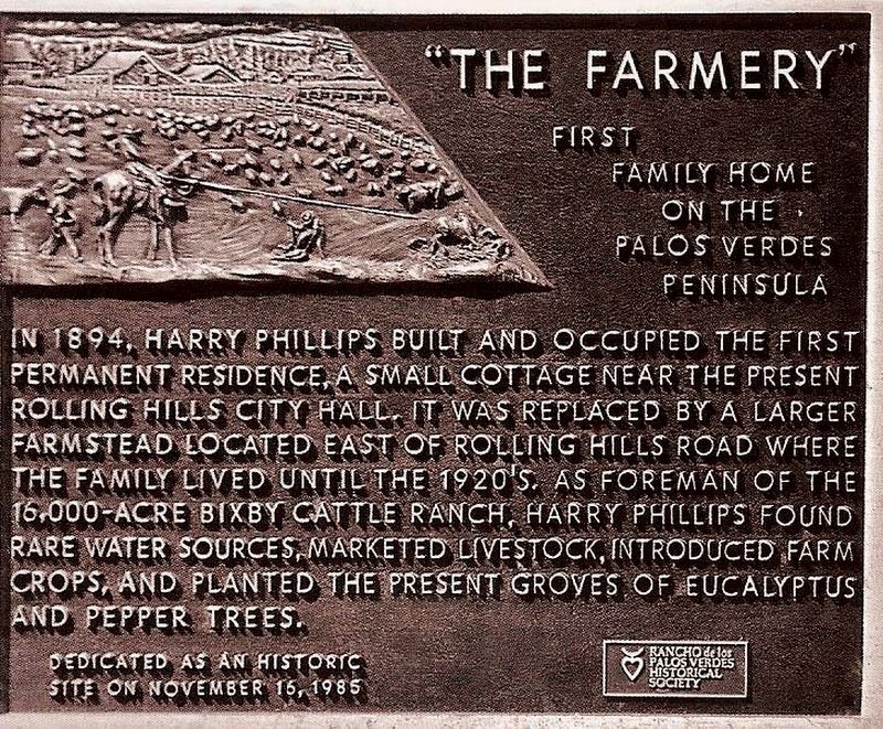
“The Farmery”
First family home on the Palos Verdes peninsula.
In 1894, Harry Phillips built and occupied the first permanent residence, a small cottage near the present Rolling Hills City Hall. It was replaced by a larger farmstead located east of Rolling Hills Road where the family lived until the 1920's. As foreman of the 16,000-acre Bixby Cattle Ranch, Harry Phillips found rare water sources, marketed livestock, introduced farm crops, and planted the present groves of eucalyptus and pepper trees.
Erected 1985 by Rancho Palos Verdes Historical Society.
Topics. This historical marker is listed in these topic lists: Agriculture • Settlements & Settlers. A significant historical year for this entry is 1894.
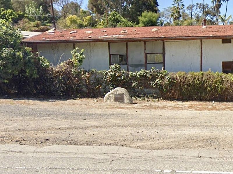
Location. 33° 46.805′ N, 118° 20.546′ W. Marker is in Rolling Hills Estates, California, in Los Angeles County. Marker is at the intersection of Rolling Hills Road and Lariat Lane, on the right when traveling south on Rolling Hills Road. Touch for map. Marker is in this post office area: Palos Verdes Peninsula CA 90274, United States of America. Touch for directions.
Other nearby markers. At least 8 other markers are within 4 miles of this marker, measured as the crow flies. Mirlo Gate Lodge Tower (approx. 1˝ miles away); Saint Peter’s Episcopal Church (approx. 1.7 miles away); Edward A. DeVore, Jr. (approx. 1.8 miles away); Brian "Cody" Prosser (approx. 2 miles away); Malaga Cove Library (approx. 3 miles away); Portuguese Bend Whaling Station (approx. 3.2 miles away); Villa Francesca (approx. 3.2 miles away); Harden Gatehouse (approx. 3.2 miles away).
Credits. This page was last revised on July 5, 2023. It was originally submitted on July 5, 2023, by Craig Baker of Sylmar, California. This page has been viewed 71 times since then and 21 times this year. Photos: 1, 2. submitted on July 5, 2023, by Craig Baker of Sylmar, California.

