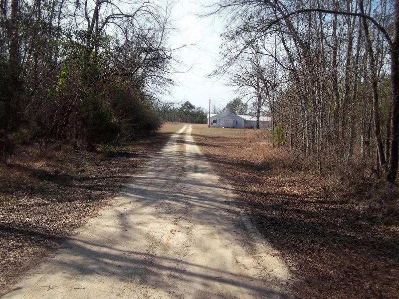
Near Creek Stand in Macon County, Alabama — The American South (East South Central)
Creek Stand AME Zion Church Cemetery
Macon County
Inscription.
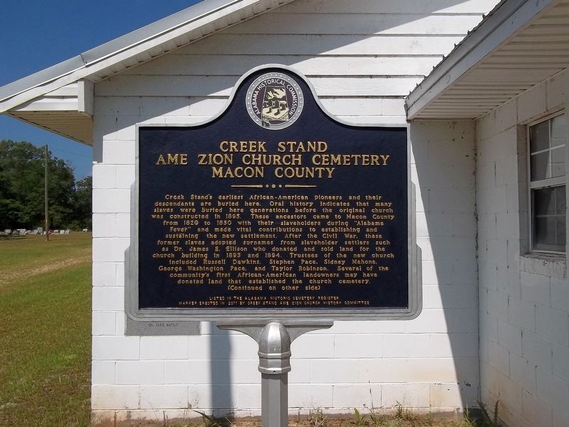
Creek Stand's earliest African-American pioneers and their descendants are buried here. Oral history indicates that many slaves were buried here generations before the original church was constructed in 1895. These ancestors came to Macon County from 1820 to 1850 with their slaveholders during "Alabama Fever" and made vital contributions to establishing and sustaining the new settlement. After the Civil War, these former slaves adopted surnames from slaveholder settlers such as Dr. James E. Ellison who donated and sold land for the church building in 1893 and 1894. Trustees of the new church included Russell Dawkins, Stephen Pace, Sidney Mahone, George Washington Pace, and Taylor Robinson. Several of the community's first African-American landowners may have donated land that established the church cemetery.
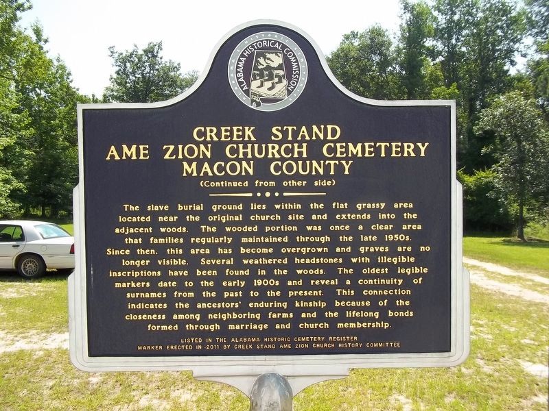
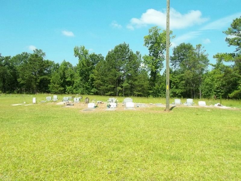
The slave burial ground lies within the flat grassy area located near the original church site and extends into the adjacent woods. The wooded portion was once a clear area that families regularly maintained through the late 1950s. Since then this area has become overgrown and graves are no longer visible. Several weathered headstones with illegible inscriptions have been found in the woods. The oldest legible markers date to the early 1900s and reveal a continuity of surnames from the past to the present. This connection indicates the ancestors' enduring kinship because of the closeness among neighboring farms and the lifelong bonds formed through marriage and church membership.
Erected 2011 by Creek Stand AME Zion Church History Committee and Alabama Historical Commission.
Topics and series. This historical marker is listed in these topic lists: African Americans • Cemeteries & Burial Sites • Churches & Religion. In addition, it is included in the Alabama Historical Commission series list. A significant historical year for this entry is 1820.
Location. 32° 17.429′ N, 85° 29.333′ W. Marker is near Creek Stand, Alabama, in Macon County. Marker can be reached from Slim Road, 0.3 miles south of County Road 10, on the right when traveling south. Touch for map. Marker is in this post office area: Hurtsboro AL 36860, United States of America. Touch for directions.
Other nearby markers. At least 8 other markers are within 12 miles of this marker, measured as the crow flies. In Memory of Phoebe Tolbert Key (approx. half a mile away); Creek Stand Methodist Church (approx. half a mile away); Joel Hurt House (approx. 5.7 miles away); Long Family (approx. 5.7 miles away); Hurtsboro United Methodist Church (approx. 5.7 miles away); Uchee / Good Hope Baptist Church, Uchee
(approx. 8.8 miles away); Uchee Chapel Methodist Church (approx. 10.2 miles away); Union Christian Church (approx. 11.3 miles away). Touch for a list and map of all markers in Creek Stand.
Credits. This page was last revised on February 17, 2024. It was originally submitted on July 6, 2023, by James L.Whitman of Eufaula, Alabama. This page has been viewed 118 times since then and 40 times this year. Photos: 1, 2. submitted on July 6, 2023, by James L.Whitman of Eufaula, Alabama. 3, 4. submitted on July 7, 2023, by James L.Whitman of Eufaula, Alabama. 5. submitted on February 5, 2024, by James L.Whitman of Eufaula, Alabama. • James Hulse was the editor who published this page.
