New Orleans East Area in Orleans Parish, Louisiana — The American South (West South Central)
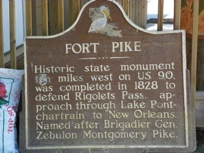
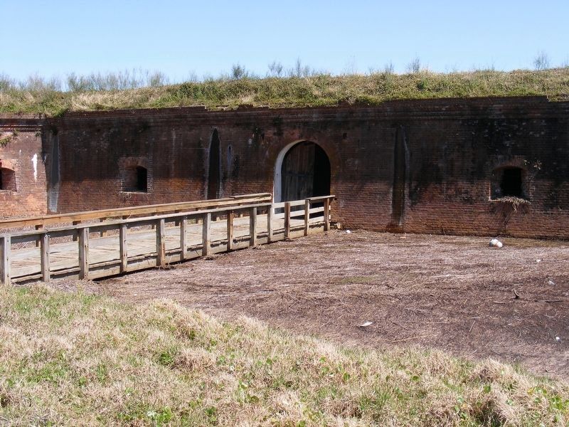
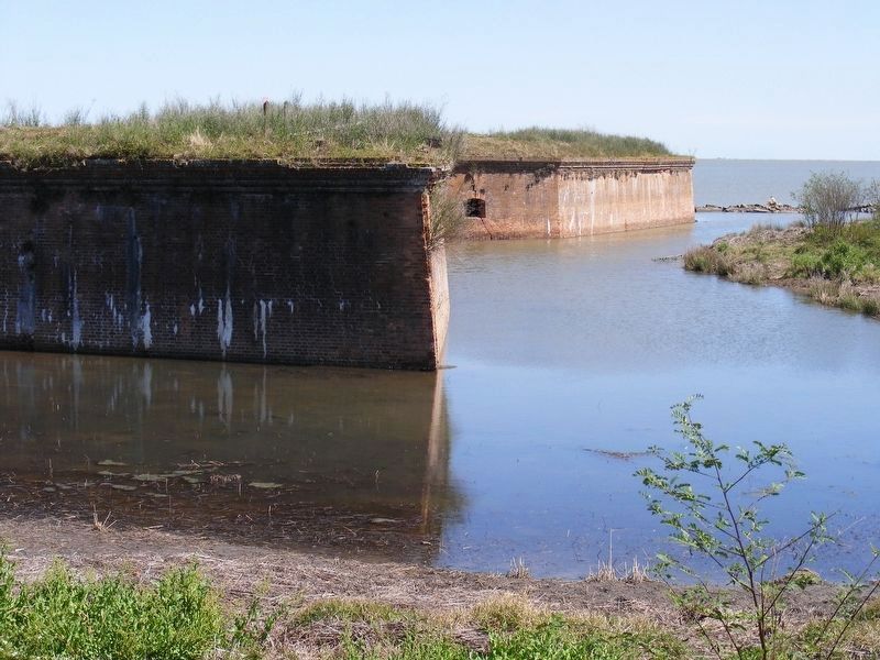
Fort Pike
Erected 1954 by Louisiana Department of Commerce and Industry.
Topics. This historical marker is listed in these topic lists: Forts and Castles • Military • Notable Places. A significant historical year for this entry is 1828.
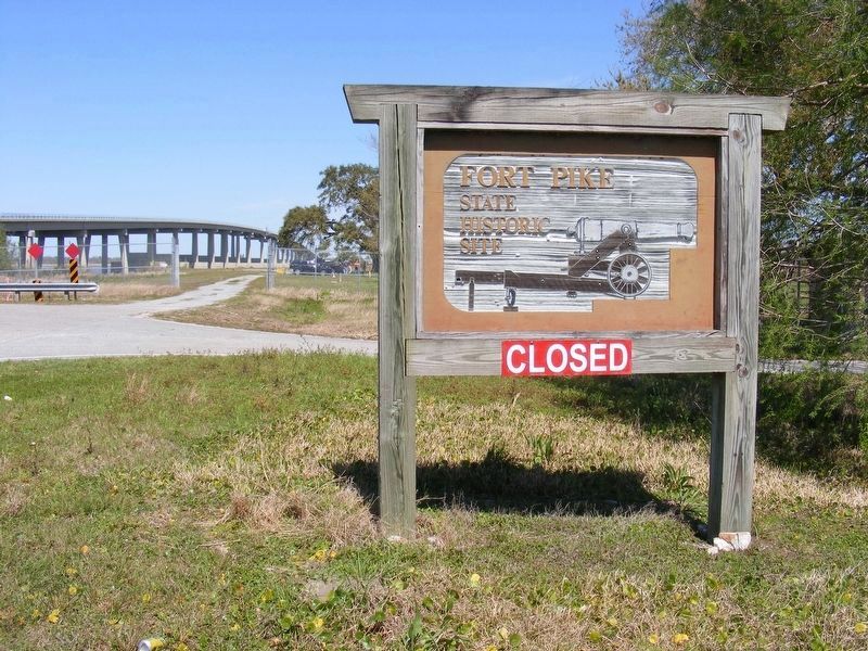
Location. Marker has been permanently removed. It was located near 30° 10.009′ N, 89° 44.238′ W. Marker was near New Orleans, Louisiana, in Orleans Parish. It was in the New Orleans East Area. Marker could be reached from U.S. 90. Marker is displayed on the ground outside the visitor center to the closed park, currently being rebuilt. Touch for map. Marker was in this post office area: New Orleans LA 70129, United States of America.
We have been informed that this sign or monument is no longer there and will not be replaced. This page is an archival view of what was.
Other nearby markers. At least 8 other markers are within 9 miles of this location, measured as the crow flies. St. Tammany Fishing Pier (approx. 4˝ miles away); Indian Village (approx. 6.9 miles away); John Slidell (approx. 8 miles away); 1st United Methodist Church (approx. 8 miles away); City of Slidell Centennial (approx. 8 miles away); Slidell Town Hall and Jail (approx. 8 miles away); a different marker also named John Slidell (approx. 8 miles away); a different marker also named John Slidell (approx. 8.3 miles away).
Also see . . .
1. Fort Pike from Wikipedia. (Submitted on October 1, 2009, by Bill Pfingsten of Bel Air, Maryland.)
2. Fort Pike - Louisiana. (Submitted on October 1, 2009, by Bill Pfingsten of Bel Air, Maryland.)
Additional commentary.
1. Marker missing or in storage.
The marker has been in storage or missing since the park was permanently closed in 2012.
— Submitted March 29, 2022, by Pete Payette of Orange, Virginia.
Credits. This page was last revised on February 12, 2023. It was originally submitted on September 27, 2009, by Stephen Bell of Biloxi, Mississippi. This page has been viewed 1,531 times since then and 15 times this year. Photos: 1. submitted on September 27, 2009, by Stephen Bell of Biloxi, Mississippi. 2, 3, 4. submitted on March 29, 2022, by Pete Payette of Orange, Virginia. • Bill Pfingsten was the editor who published this page.
Editor’s want-list for this marker. A wide view photo of the marker and the surrounding area in context. • Can you help?


