Old Aristocracy Hill in Springfield in Sangamon County, Illinois — The American Midwest (Great Lakes)
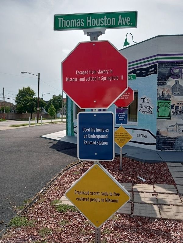
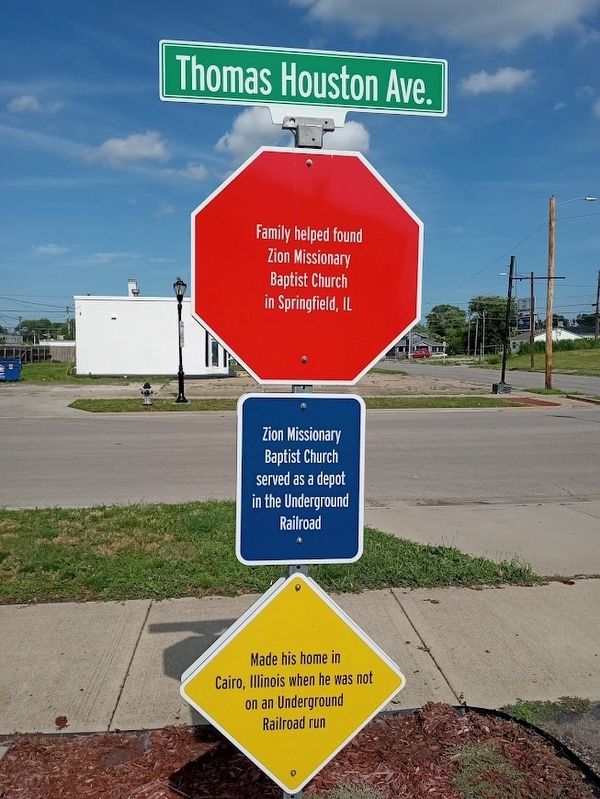
Thomas Houston Ave.
•Escaped from slavery in Missouri and settled in Springfield, IL
•Used his home as an Underground Railroad station
•Organized secret raids to free enslaved people in Missouri
•Family helped found Zion Missionary Baptist Church in Springfield, IL
•Zion Missionary Baptist Church served as a depot in the Underground Railroad
•Made his home in Cairo, Illinois, when he was not on an Underground Railroad run
Topics. This historical marker is listed in these topic lists: Abolition & Underground RR • African Americans • Churches & Religion.
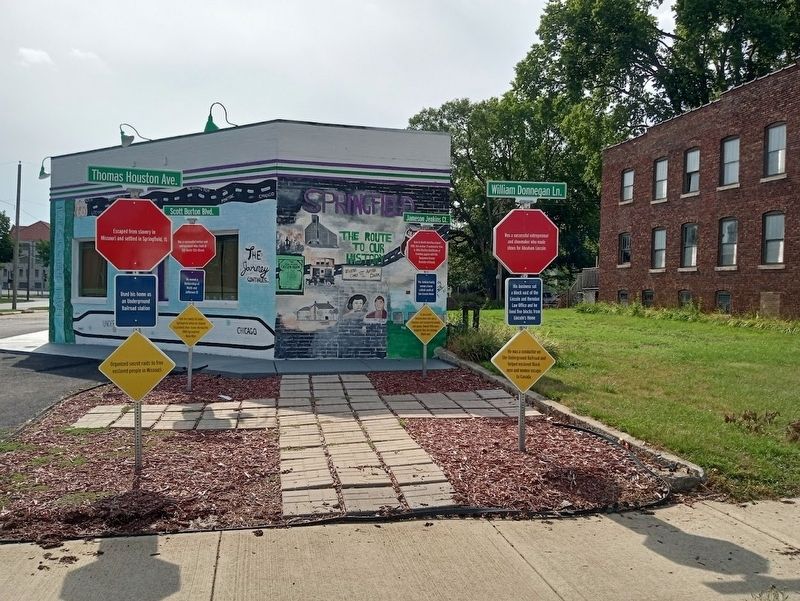
Location. 39° 47.704′ N, 89° 38.721′ W. Marker is in Springfield, Illinois, in Sangamon County. It is in Old Aristocracy Hill. Marker is at the intersection of South 8t Street and East Cook Street, on the right when traveling south on South 8t Street. Marker is outside the Route History building. Touch for map. Marker is at or near this postal address: 737 E Cook St, Springfield IL 62703, United States of America. Touch for directions.
Other nearby markers. At least 8 other markers are within walking distance of this marker. William Donnegan Ln. (here, next to this marker); Scott Burton Blvd. (here, next to this marker); Jameson Jenkins Ct. (here, next to this marker); The Elijah Iles House (about 300 feet away, measured in a direct line); Lincoln Home National Historic Site (about 400 feet away); Solomon Allen Barn (about 400 feet away); George W. Shutt House (about 500 feet away); Henson Robinson House (about 500 feet away). Touch for a list and map of all markers in Springfield.
Credits. This page was last revised on July 8, 2023. It was originally submitted on July 7, 2023, by Jason Voigt of Glen Carbon, Illinois. This page has been viewed 71 times since then and 35 times this year. Photos: 1, 2, 3. submitted on July 7, 2023, by Jason Voigt of Glen Carbon, Illinois.


